Skies may have cleared early New Year’s Day, but icy roads were still a danger around the Denver area where Colorado Department of Transportation signs warned travelers to be cautious during their commutes.
Monday's road conditions were much worse during the storm. The snow was enough for the National Weather Service to issue a Winter Weather Advisory for much of the Front Range.
There are three levels of warnings when it comes to significant winter storms: Watches, Advisories and Warnings.
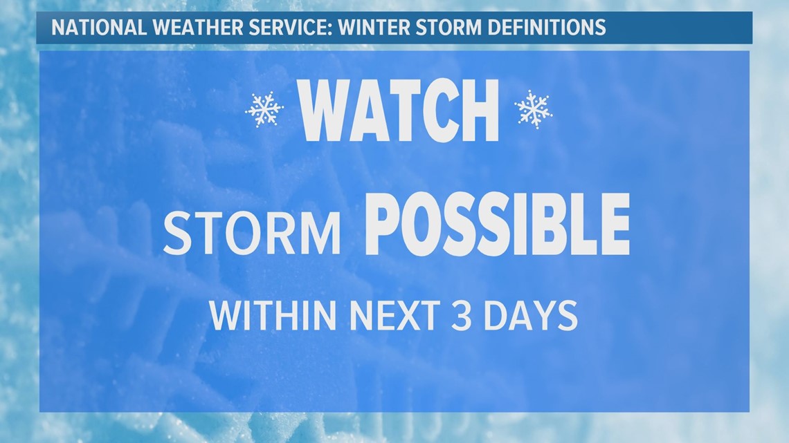
The National Weather Service said they will issue a Winter Storm Watch when winter storm conditions are possible within the next three days. The idea is to let you know your plans for the week may need to change.


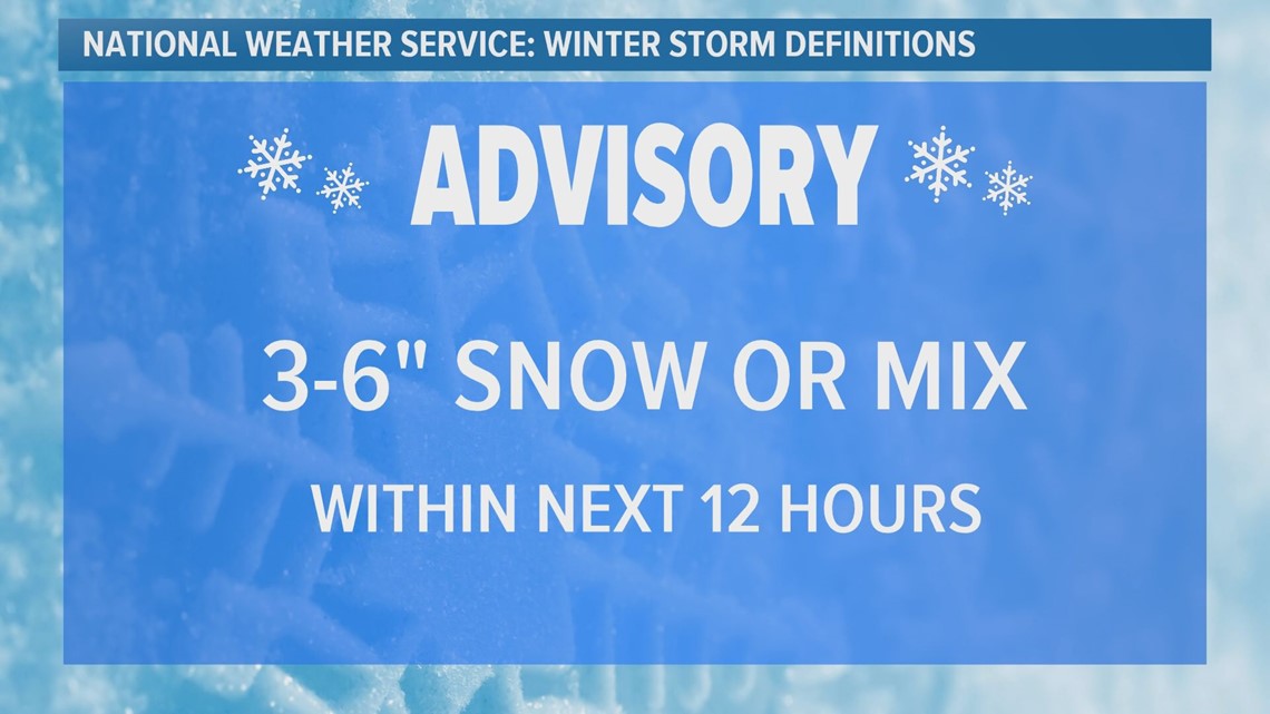
A Winter Weather Advisory is a step up from a watch and is issued when general snow accumulations will be between 3 and 6 inches in 12 hours at lower elevations, according to the National Weather Service. The advisory could also include a wintery mix and some blowing snow, creating dangerous travel conditions.


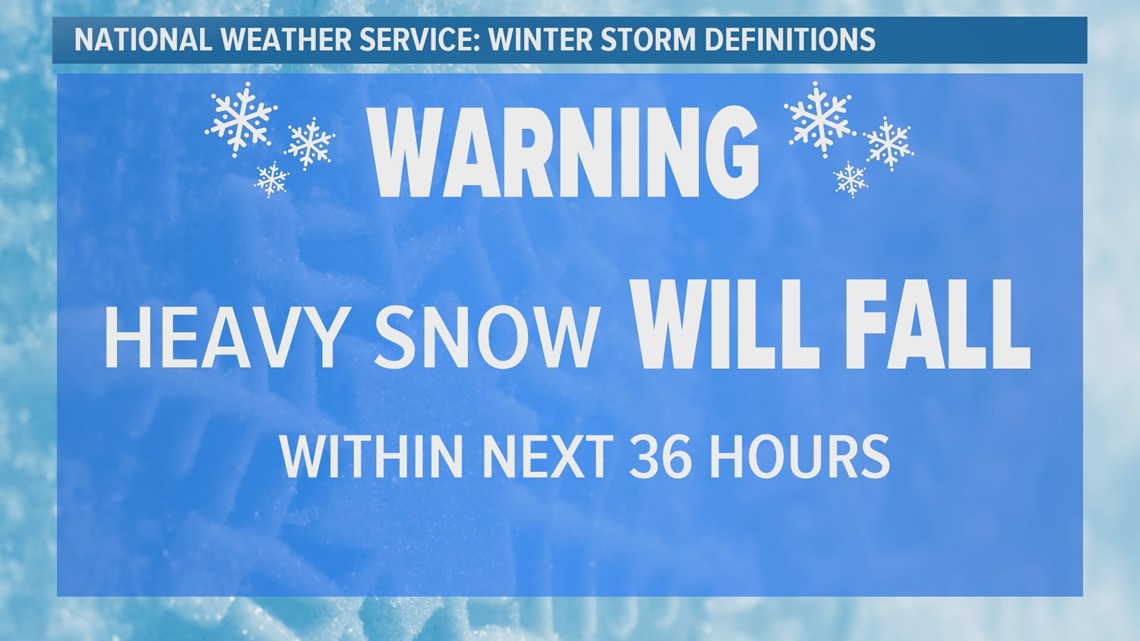
A Winter Storm Warning is issued when the storm is expected to include more wind, snow and blowing snow than an advisory. The National Weather Service said they issue warnings when this type of storm is currently happening or will develop within the next 36 hours.


CDOT said they also display this information on highway signs to help keep drivers informed of conditions.
“As far as weather information, we do track with the National Weather Service and so when the National Weather Service issues, for example, a Winter Storm Watch, we will use that same language as well,” said CDOT Spokesperson Tamara Rollison.
There is also a difference between an advisory or warning issued for the Front Range and lower elevations, versus higher elevations in the mountains. For a complete list of all watches, warnings and advisories that the National Weather Service may issue during the winter months you can click the link below:
SUGGESTED VIDEOS | Science is cool


