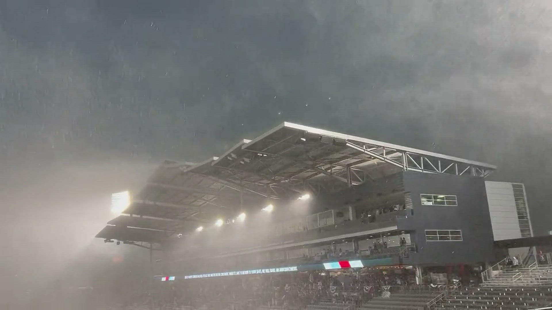
DENVER — Mother Nature helped put on a fireworks show Tuesday.
Strong storms, which included high wind, heavy downpours and small hail, moved through the front range and northeastern Colorado on Tuesday night, disrupting Fourth of July plans across much of the state.
Some flash flooding was also reported as heavy rainy fell on saturated ground after the unusually soggy May and June that just soaked the Front Range with widespread double-digit rainfall totals.
Showers linger overnight and start to dissipate by early Wednesday morning. Wednesday will bring more showers and storms, but the strongest will be well to the south and east of Denver.
Thursday is another day we're keeping an eye on, as the ingredients could be there for a severe weather day. Stay tuned because things could turn dicey very quickly.
Only isolated storms are in the forecast for Friday and Saturday as we stay in the 80s. Mainly dry weather with relatively seasonal temperatures will be in place from Sunday into next week.
SUGGESTED VIDEOS: Colorado Climate

