COLORADO, USA — This week's drought monitor is out, and it's not good, despite a very wet early September storm on Tuesday.
Even though the Drought Mitigation Center issues a new update every Thursday, they are written on Tuesdays. The author of this week's update could only consider the precipitation that had already been measured, not precipitation that was in the process of falling at the time. They do not consider precipitation that is in the forecast either.
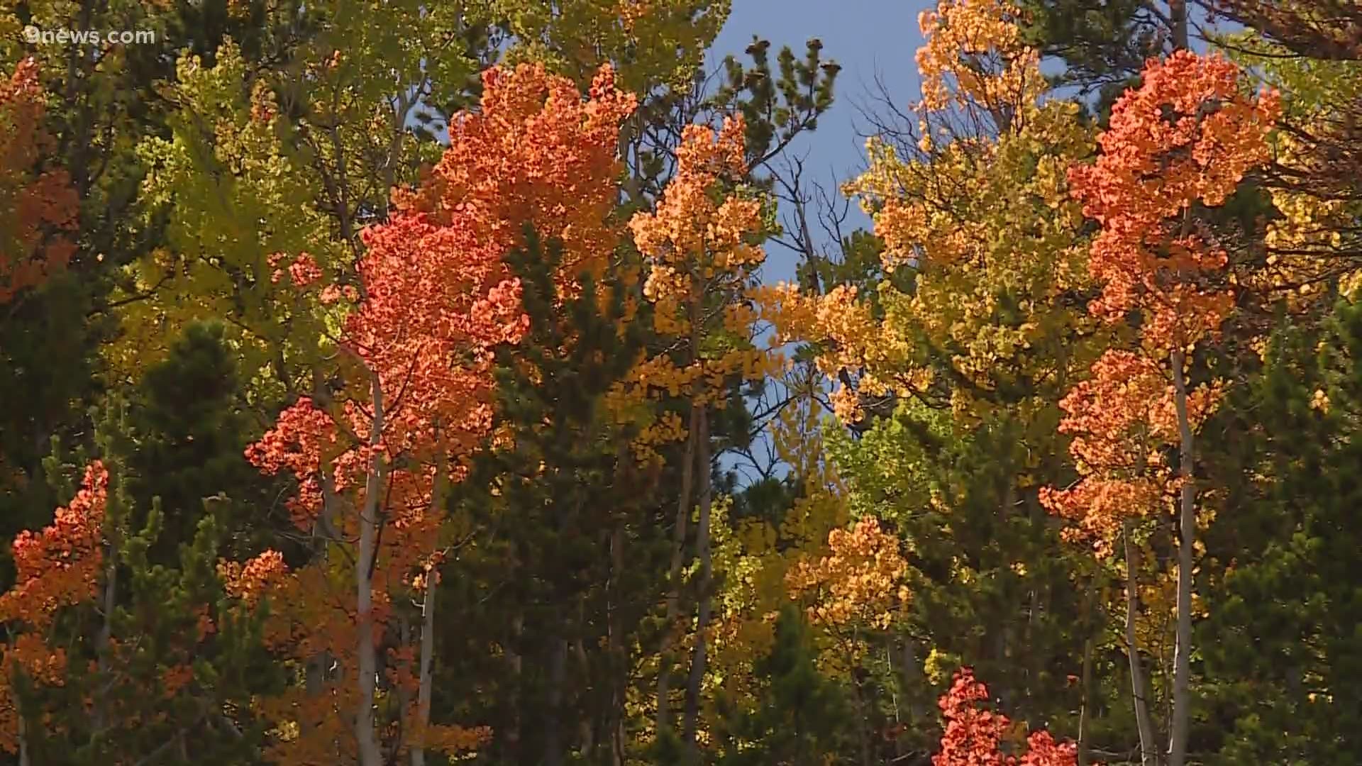
>> Video above: Statewide drought may cause fall foliage to turn colors early this year
So this Tuesday's storm will show up in next Thursday's update.
In this latest update, 99% of Colorado is still in drought conditions, but the Level 3 Extreme drought expanded by 18% and now includes more than half of the state.
Denver has been bumped up into extreme level 3 drought for the first time since September 2013 -- eight years ago.
Most of the Denver area got about one inch of precipitation with Tuesday's storm. Denver International Airport measured .89 inches.
This will have a huge impact on drought conditions once it gets factored in. Denver's average precipitation for all of September is .96 inches.
There is no way to tell how much of an impact it will have since the author of each week's update has some discretion to judge the impact on each region. It is likely though, that many areas will see a reduction in drought levels, including Denver which could drop back down to severe level 2 drought.
SUGGESTED VIDEOS: Science is Cool

