The Colorado River: Lifeblood for the American Southwest
In a three-part series, 9NEWS' Bryan Wendland shows us the history of the Colorado River and where it's heading in the future.
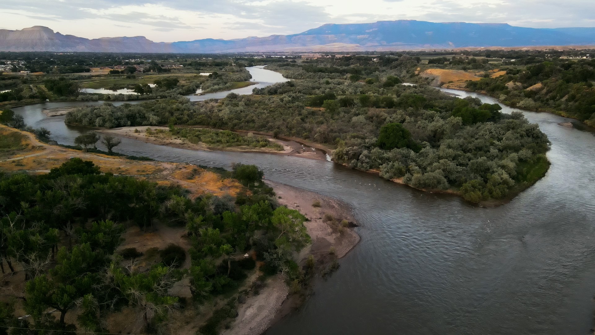
High in the mountains above Gothic, Colorado, rests the lifeblood of the American Southwest.
Feet upon feet of frozen water, trapped in the Rocky Mountain snowpack. In the spring, it will run off into the East River, flow into the Gunnison and then merge with the Colorado River near Grand Junction. It will water crops from the Western Slope to California. It will flow out of taps in Denver. In a perfect world, it will eventually spill out into the Gulf of California.
But we don’t live in a perfect world.
The Southwest is on the precipice of indecision. For more than 100 years, the Colorado River’s water has been split between seven states, Native American tribes and Mexico, thanks to a compact that experts say was written using flawed data.
There was never enough water to go around, and beneath the crushing weight of longer droughts and hotter weather, everyone is caught between the Law of the River and reality.
Cuts are coming. In 2023, the Colorado River’s Lower Basin states – California, Arizona and Nevada – agreed to use less water for three years. But that’s a drop in the bucket, and some are eying agricultural land as the silver bullet to water conservation. Sure, in Colorado, agriculture uses 90% of the water, but what happens when fields are fallowed, storefronts shuttered and water bills blow up?
That is a snapshot of the knife’s edge the Southwestern U.S. walks, staring into a shrinking river: Spring runoff is becoming more unpredictable, the compact that was supposed to keep everyone whole hamstrung us from the start, and the most obvious place to start with water conservation could have ripple effects that we’re not ready for.

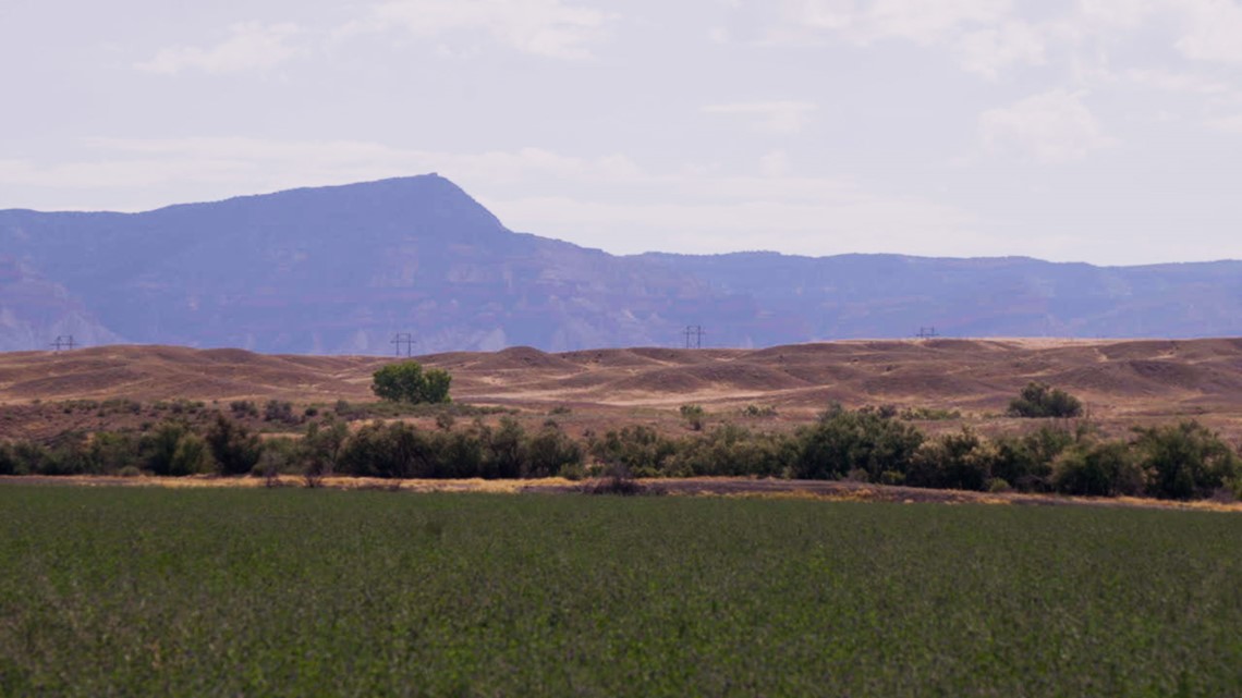
Agriculture and the Colorado River
“I know we got the majority of the water, and we’re using majority of the water. We’re also feeding this nation. The only way this is going to work is we all do it together,” said Troy Waters, a fifth generation farmer in Fruita.
Waters knows the climate is changing. He understands where most of his state’s water is going, but he wants to pump the brakes on putting the entire conservation load on the backs of Southwestern farmers.
“I’m afraid that what’s going to happen is demand management, system conservation, whatever you want to call it, is the first step to by and dry,” he said. “Because at the end of the day, water follows money.”
His cash crop is alfalfa grown for seed, which uses way less water than its counterpart grown to produce animal feed.
But Waters is looking to conserve even more and has gotten into a new crop called camelina.
“There’s a good market for it,” he said. “There’s two major companies. One of them is backed by Exxon Mobil, and the other one’s backed by Shell Oil, and they’re looking to start making fuel out this crop.”
Jet fuel to be precise.
Even with those major companies getting involved, camelina still isn’t very valuable.

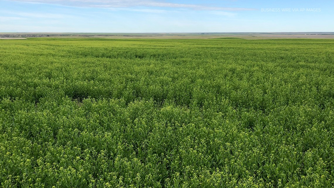
“It’s a low-value crop because it’s not subsidized,” Waters said. “Corn prices are high and soybean prices are high because they’re subsidized by the federal government for fuel.”
The water that irrigates Waters' crops is pulled from the 55-mile long Government Highline Canal, directly from the Colorado River.
If you’ve driven Interstate 70 to Grand Junction, you’ve seen the orange dam in De Beque that diverts water into the canal.

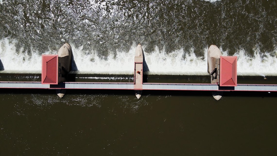
“This is where we divert not only our water right, but the water for Orchard Mesa Irrigation District, Palisade Irrigation District and Mesa County Irrigation District,” Tina Bergonzini said.
She’s the Grand Valley Water Users Association’s general manager. It’s her job to make sure farmers like Waters get their share of the association’s collective water right.
As the climate warms and drought intensifies, that can prove challenging.
“When it’s 100 degrees outside and we don’t have enough water, we just don’t have enough water,” Bergonzini said. “So the larger farms have to rotate their fields, and they’re only allowed to order a certain amount of water at a time, so that certain areas of the association can’t dry up our canal and then everyone at the end doesn’t have any.”
Bergonzini is also in charge of maintaining the canal and fixing any problems that arise.
“Well, the system itself is old,” she said. “It’s 108 years old, and our canals, all of our infrastructure is aging.”
There’s also a 15-mile stretch of the Colorado River just before the Gunnison merges with it where Bergonzini has to make sure a stable flow of water is maintained for four endangered species of fish to survive.
“Eight hundred ten CFS [cubic feet per second] is as low as it can go, and that’s what the recovery program has set as hot, dry year drought conditions,” she said.
Without a constant close eye on that stretch of river, the Colorado Pike Minnow, Humpback Chub, Razorback Sucker and Bonytail could’ve gone extinct.
“The Humpback Chub is kind of a success story,” Bergonzini said. “It is still threatened, but it got delisted from the endangered lists, which I think was really an incredible feat for the recovery program.”
The Grand Valley grows a diverse set of crops: Palisade peaches, cherries, apricots, apples and pears. There are also vineyards, and row and forage crops.
It’s a way of life. One that Waters worries he won’t be able to pass on to future generations.
“We’re not in it to get rich. We’re in it because it’s a way of life and that’s what we enjoy,” he said. “I think maybe I’m going to survive, maybe make it through the end, but I don’t know if my son will be able to.”
The Environment that Affects Colorado River Flows

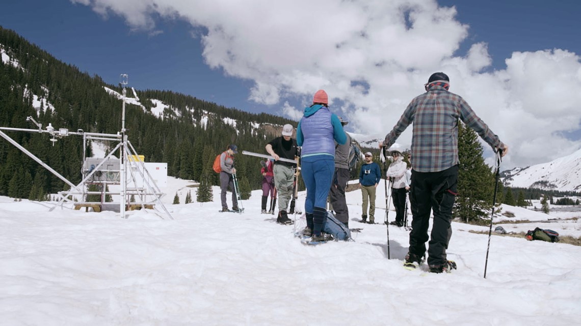
Deep in the mountains, a team of researchers is studying all the ways moisture can be lost from the time it falls out of the sky to the point that it runs off into rivers and streams.
“Streamflow in the Colorado River and all of the rivers like the East River are strongly dependent on the snowpack seasonally,” said Gijs de Boer, the team’s principal researcher.
In a perfect world, he said, the snow at his research site in Gothic would melt into the East River, flow into the Gunnison and end up in the Colorado.
That’s far from reality.
“With every little step, we lose a little bit of water heading downstream,” he said.
That’s why his team started SPLASH, or the Study of Precipitation, the Lower Atmosphere and Surface for Hydrometeorology. It’s a two-year project focused on understanding everything from the clouds to precipitation and stream flow.
“We’re also hoping to learn how much of the snowpack is sublimating, which is kind of the snow equivalent of evaporating,” he said. “If snow is sublimating, it’s going back into the atmosphere rather than into rivers, and we lose stream flow that way.”
This research started during a really dry winter.
“Two weeks ago last year, in the exact same spot, we had little patches of snow around," de Boer said. "Now we’re standing on 2 to 3 feet of snow that’s still here.”
The research project ended after one of the snowiest winters on record.
“I can say that yes, it’s been a good year,” he said. “We like to have good years, and there will be an impact, but I think it’d be foolish to think that this will solve all of our water problems.”
The History of the Colorado River
This problem isn’t new.
The Southwest’s population is much larger and the climate much warmer than it was 100 years ago, but the Colorado River we have today is thanks to the Colorado River Compact, signed in 1922.


“We avoid that basin-wide type of litigation in the Colorado River Basin because we adopted this compact,” said water lawyer James Eklund.
Eklund said water law in the West is based on the doctrine of prior appropriation.
“Which just means that if I have a water right, an entitlement to use water that is older than yours, I get my water before you get yours,” he said.
In 1922 the seven states that depend on the Colorado River – Colorado, Wyoming, Utah, New Mexico, Arizona, Nevada and California – crafted the compact. It split 20 million acre-feet of water rights between the states. An acre-foot is roughly what an family of four uses in a year.
That’s the 100-year-old problem.
“The compact was designed for a different river,” Eklund said. “It was designed for a 20 million acre-foot river, not a 10 million acre-foot river, and that’s essentially what we have now.”
The compact’s crafters studied streamflow in the river going back 10 years. They thought they were being generous with that 20 million acre-foot estimate. They didn’t know that decade was one of the wettest on record.
“They were doing the best they could with the data they had, and they weren’t experiencing the impacts of anthropomorphic climate change,” Eklund said. “So I don’t think it’s fair to say that they screwed up or that they didn’t see into the future the way they should have.”
Ten million acre-feet of water is still a lot, Eklund said.
“That’s enough water for us to manage and to grow the incredibly important food that we all depend on, in this basin and in the nation,” he said.
But it’s going to take a lot of work to manage it right.
A Commitment to Conservation

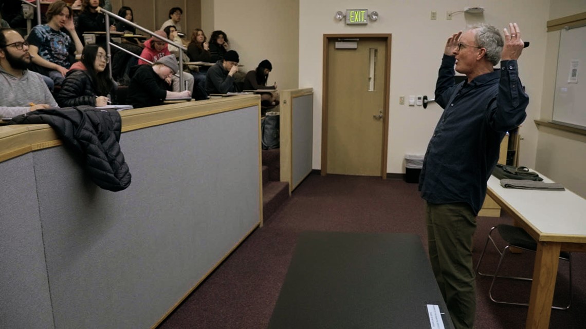
University of Denver professor Michael Kerwin knows how bad things can get when water runs low. He’s done research in Cape Town, South Africa, since 2016. In 2018, that city almost ran out of water. The day they would’ve had to turn off the taps was called "Day Zero."
“They made this announcement, this proclamation, and what happens next is unprecedented in the commitment to conservation, the community building, the groups coming together and trying to use water as many times as possible in their own homes,” Kerwin said.
Together, the community in Cape Town did so much that Day Zero never came.
Kerwin said the Southwest shouldn’t have to get to that point to start seriously conserving water.
“That’s the lesson of the Day Zero drought,” he said. “Right here, right now in Denver when things are good, we should instead be educating people on the semi-arid climate that we live in, the overcommitted water resources we actually have.”
Those overcommitted resources are easy to spot on a pie-chart of Colorado water use.
According to the Colorado Water Conservation Board, 90% of the state’s water is used by agriculture. And while cities use just 3%, the majority of Colorado’s population lives east of the Continental Divide. The urban centers along the Front Range rely on tunnels to pull water from west of the divide, where 80% of the state’s water flows.
Instead of looking for where to point the finger, Kerwin said, everyone in Colorado needs to use less water.
“If you look at the rest of the world, it’s a low bar. We use so much water here,” he said. “And agriculture, I think you begin to enter into a reduced consumption. I don’t know it will ever match the global warming, drought, population growth. I don’t know that the system will ever be balanced, but I think that’s a good place to start.”

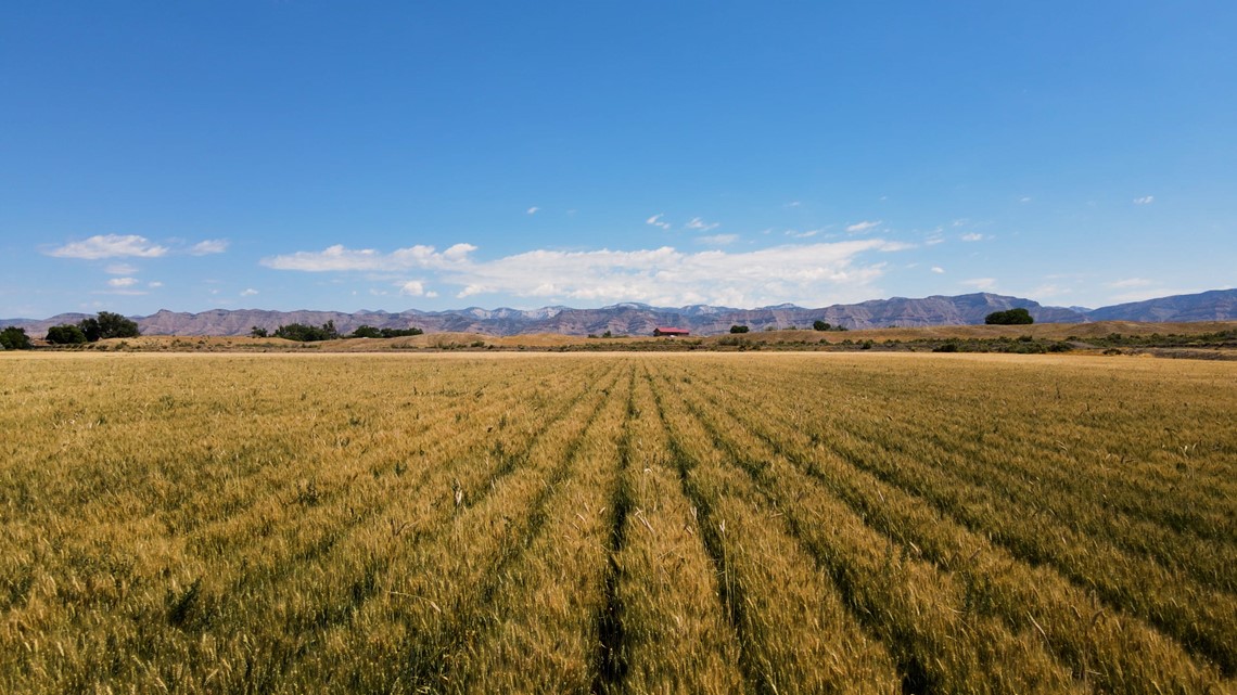
Back on the Western Slope, Waters said he worries that "reduced consumption" will lead to forced buy-and-dry campaigns.
“At the end of the day, water follows money,” he said.
Without the Colorado River, the Southwest would be unrecognizable. It’s the beating heart of massive cities, the pulse of a desert ecosystem and the life blood of a fifth-generation farmer trying to keep his family business afloat.
“I don’t know what’s going to happen. It’s scary, it’s flat out scary. I know one thing, I’m going to stay in the battle and keep fighting and try to keep agriculture alive out west. But we’ll see what happens,” Waters said.
In 2023, California, Arizona and Nevada agreed to use 13% less water through 2026. But researchers, water managers and farmers like Waters said something much more long-term is needed to truly address the problem on the Colorado River.
“I know we’ve got the majority of the water, and we’re using the majority of the water,” he said. “We’re also feeding this nation. The only way this is going to work is we all do it together.”
SUGGESTED VIDEOS: Colorado Outdoors

