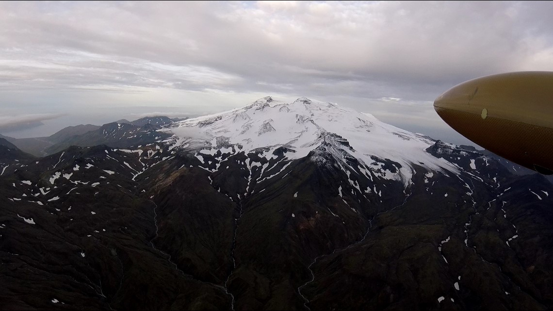
BOULDER, Colo. — It’s a 15-mile trek through rugged terrain for scientists to hike to the summit of the Makushin Volcano, in Alaska’s Aleutian Islands. It’s a stratovolcano capable of the most violent type of eruptions and it’s listed as the 9th most volatile volcano in the country in the latest Volcano Threat Assessment by the United States Geological Survey (USGS).
It's labeled a very high threat partially because of its proximity to the town of Unalasksa and the port of Dutch Harbor. There is also a highly used air traffic route above it, and it is among the most active volcanoes in America.


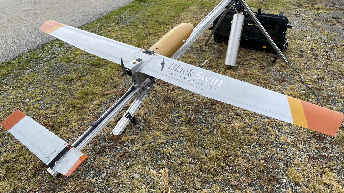
When Makushin recently started to bubble with activity, scientists wisely decided to send a drone to take measurements. They called an avionics company that has experience with sending unmanned aircraft into volcanos, Black Swift Technologies in Boulder.
“We really enjoy doing these things in extreme environments," said Jack Elston, CEO at Black Swift. "I think it really pushes the edge of the technology.”
He said the fixed-wing drone his company built for this mission had to overcome numerous engineering challenges.
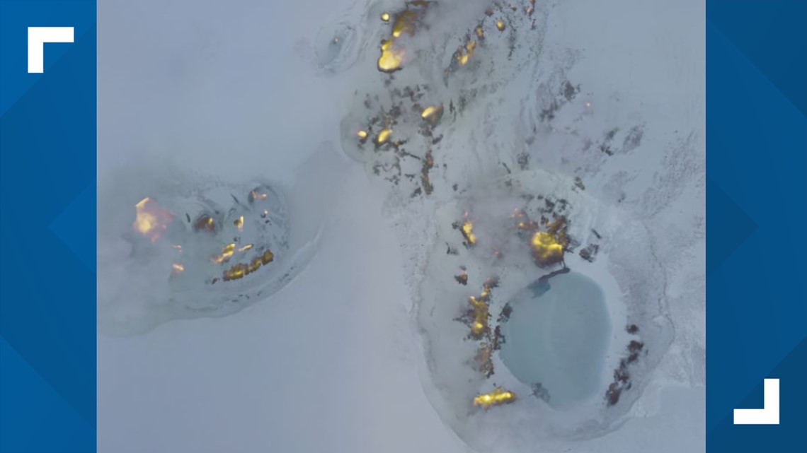
For example, the USGS scientists wanted to fly their sensors right into the volcano’s caldera plume.
“The ash that comes out of these volcanoes is very harmful to things like motors," said Elston. "You can imagine these very sharp particles getting inside the vehicle. It will cause a lot of erosion very quickly, especially with the moving parts."


They also had to design the drone to be able to carry the weight of five scientific sensors, a visible and an infrared camera, and two communication transmitters.
Makushin rises nearly 7,000 feet straight out of the ocean. High winds brew constantly at the summit, and that’s where the aircraft's design was truly tested.
“We came over a ridge, and all of a sudden we were seeing 16,000 feet per second downdrafts," said Elston. "And that’s like something even a Cessna can’t get out of.”
He said on another flight, the drone encountered 50kt headwinds that actually made the aircraft travel backwards.
They were able to successfully make two of the four passes at the volcano's summit vents. They were even able to make a high resolution 3-D map.
"They have the topography of the volcano now with great detail, and later on they can go back and see if its changed -- grown or swelled even slightly," said Elston.


This volcano research mission will also be noted as the first scientific study that allowed a drone to fly beyond the visible line of sight (BVLOS).
Normally Elston would only be allowed to fly his drone as far as he could see it, but because of the remote nature of this mission, he got special approval from the Federal Aviation Administration (FAA) to fly his drone using video and sensors alone.
“So it wasn’t just a demonstration. We can go do this BVLOS stuff and come back safely," he said. "We actually went out and gathered data and showed that this mission can be accomplished.”
Next, Black Swift may be going from volcano calderas to the eye of hurricanes. They are working with NOAA to “tube-drop” drones out of Hurricane Hunter airplanes next summer.
SUGGESTED VIDEOS: Latest from 9NEWS

