On the tails of the Friday night’s winter storm, the mountains are gearing up for round two by Sunday afternoon!
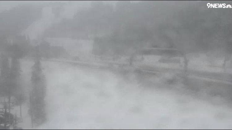
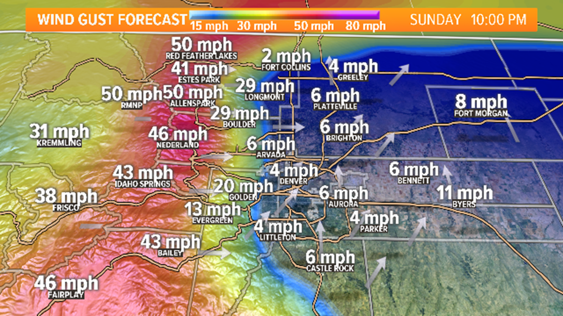
Heavy snow combined with 50 to 60 mph wind gusts will make for difficult travel conditions in the High Country.

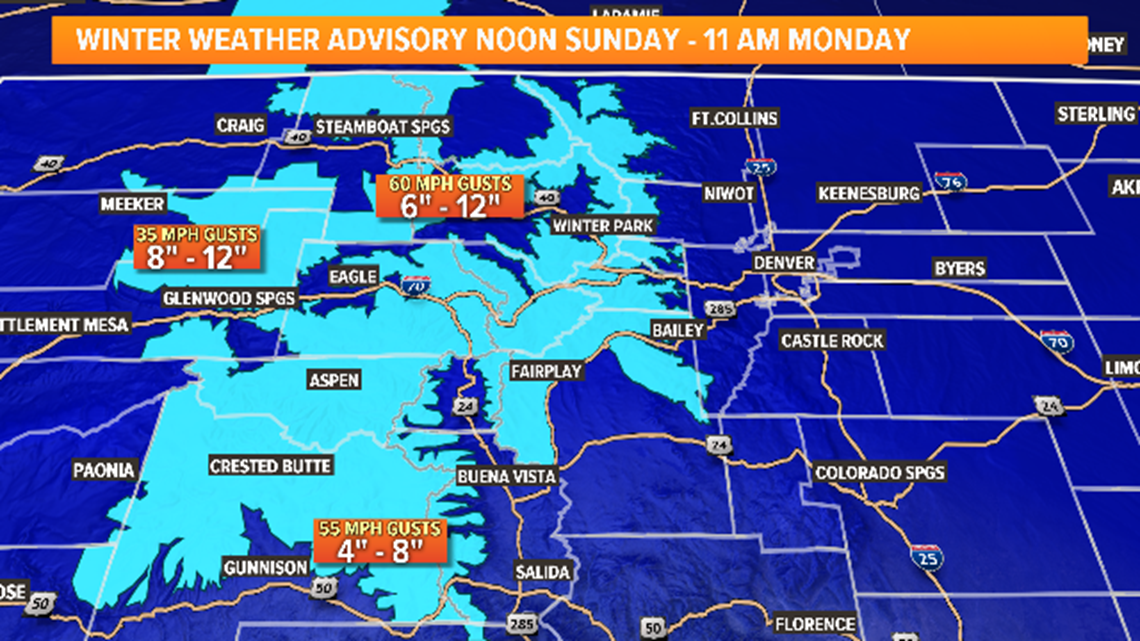
Look for the snow to arrive in the northern mountains by midday Sunday, becoming more widespread through the afternoon. Winter Weather Advisories go into effect noon Sunday and last until 11 a.m. Monday. We’ll see the higher snow totals on western facing slopes above 11,000 feet.
Winds will also be a concern, topping 60 mph in spots leading to whiteout conditions.

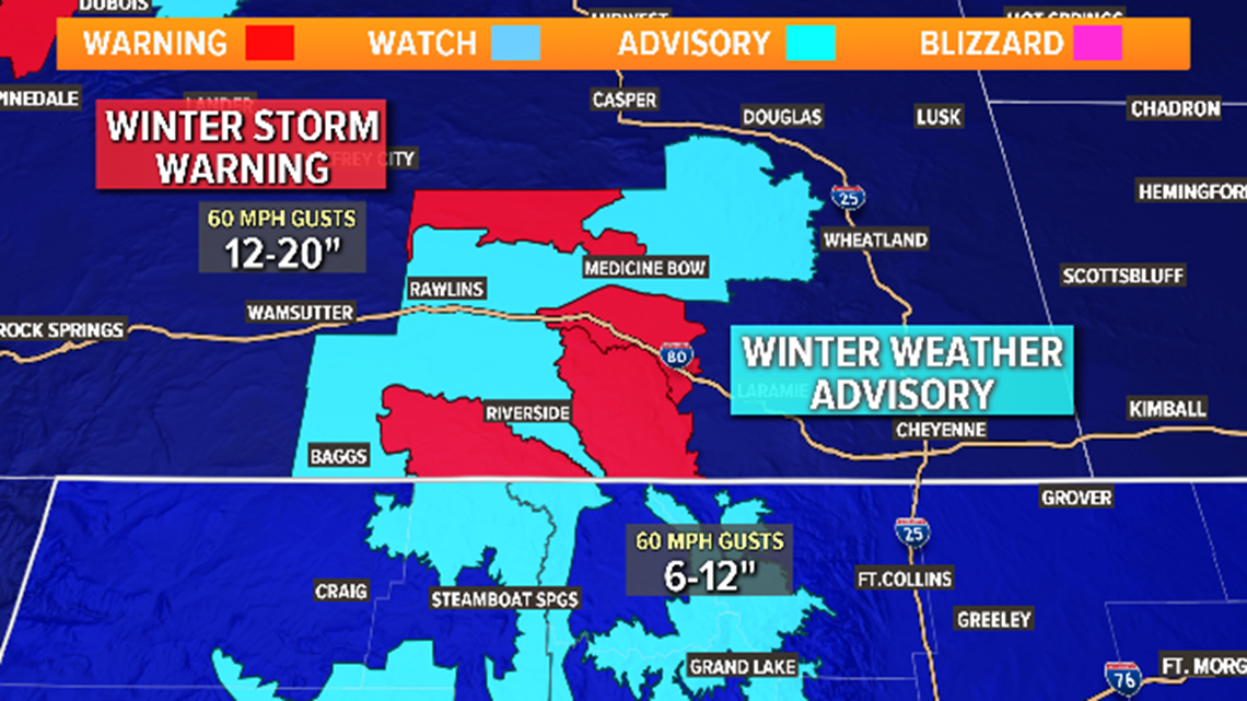
In Wyoming, Winter Storm Warnings are in effect for the Sierra Madre and Snowy Range Mountains where totals could hit 20 inches and winds near 60 mph.
The Front Range will stay mostly dry, but could see a few light showers Sunday evening with a chance for a wintry mix by early Monday.

