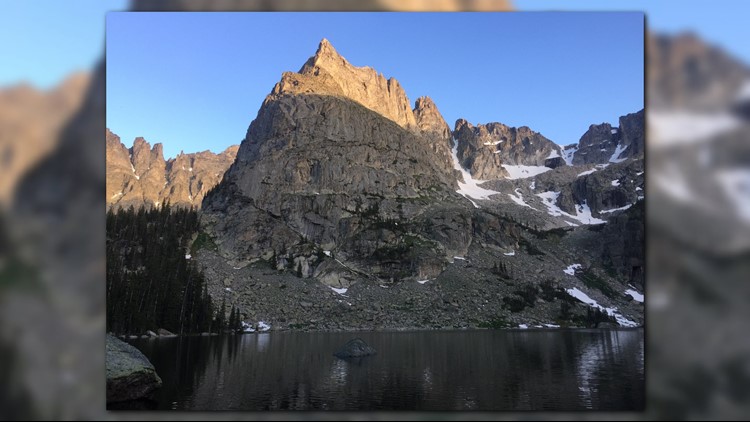
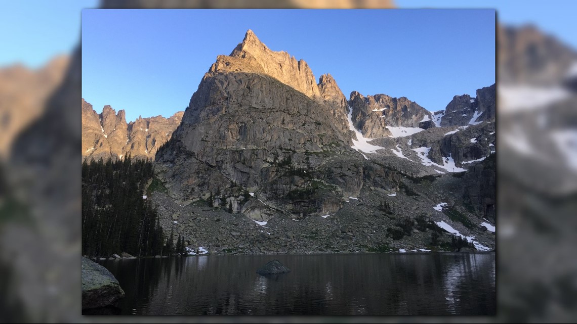
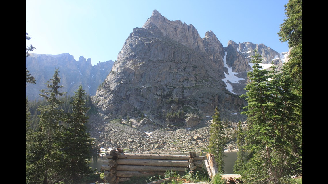
Lone Eagle Peak is a towering mountain just under 12,000 feet in the Indian Peaks Wilderness, with a certain grandeur that makes this remote natural wonder well worth the trip.

The hike (in and out) is more than 14 miles round-trip. There are fewer than a dozen campsites near the peak and Crater Lake. Most are reserved months in advance.
The trail can be done in a day, but many people find they want to wake up there the next morning, too.
The trail to Lone Eagle Peak starts near the west side entrance to Rocky Mountain National Park and Lake Granby. Follow Highway 6 along Lake Granby until you arrive at Monarch Lake.
Once there, trails spread out in several directions. Follow the directions for Crater Lake.

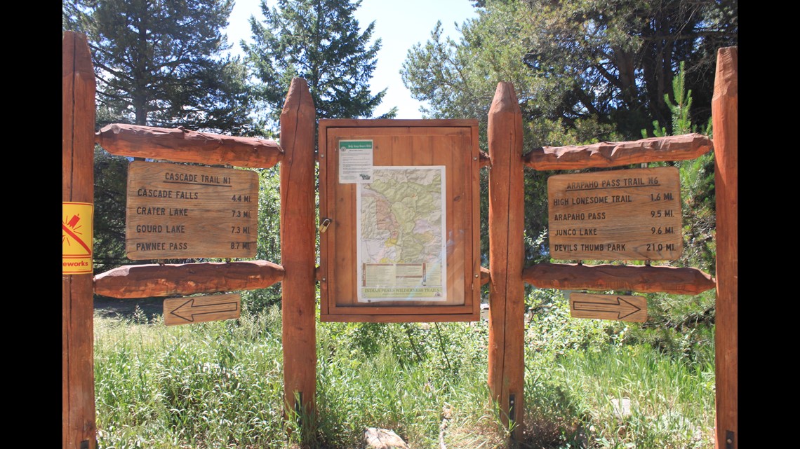

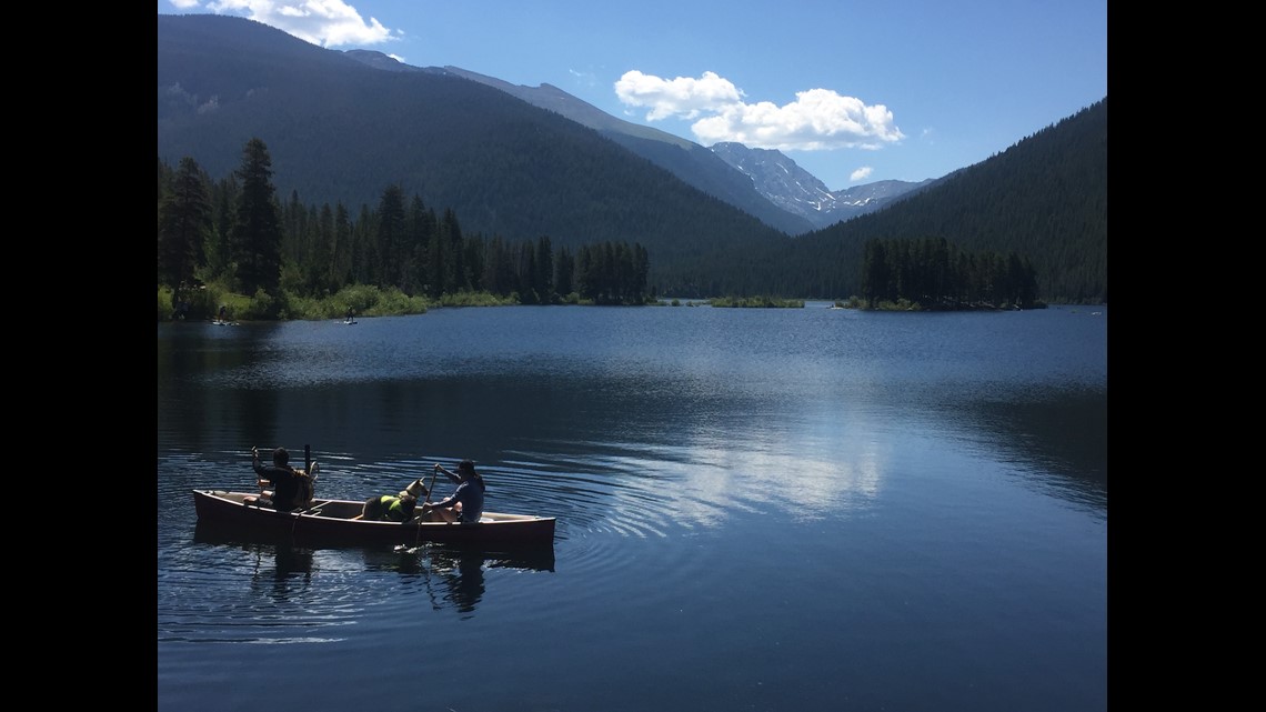
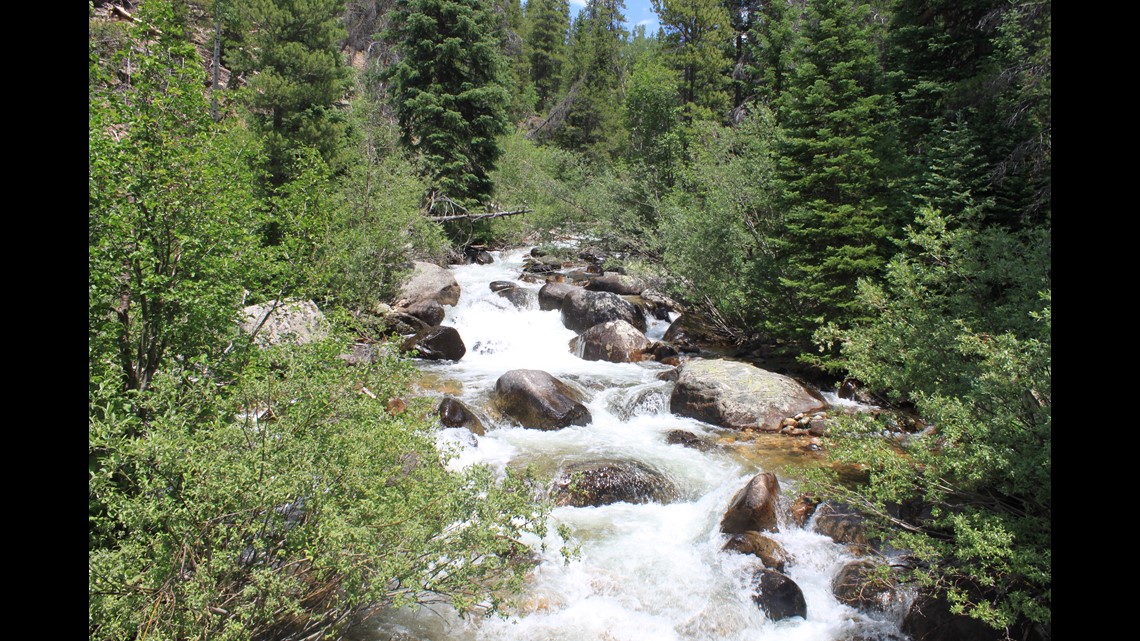
The first mile of the journey will take you right along the shore of Monarch Lake. A sign there denotes the start of the Indian Peaks Wilderness Area. The start of the hike is gentle and flat, but soon waterfalls line the trail, and it becomes more of a challenge.

During the nearly 7-mile trip, hikers will climb more than 2,000 feet, so water and rest along the way are critical. Lone Eagle Peak will not come into view until almost the end of the trail.


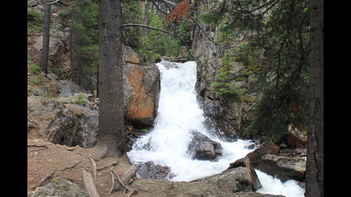

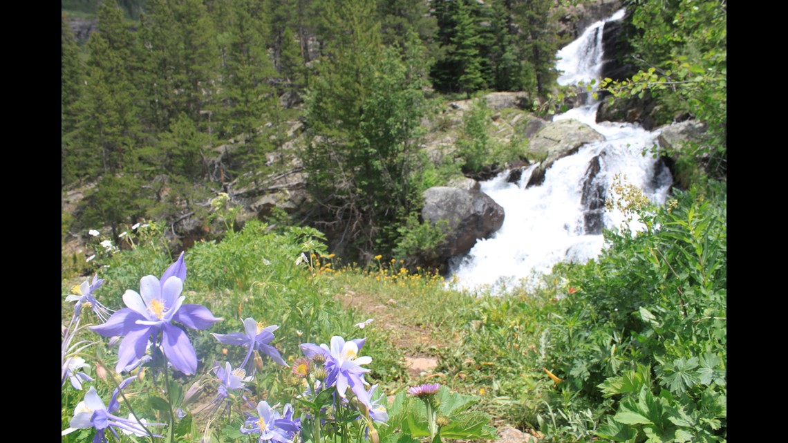
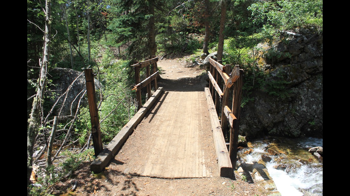
The trail in the wilderness is the path less taken, particularly compared to its cousins in nearby Rocky Mountain National Park. Hard winters, flooding rains and spring runoff change the landscape. It’s the kind of trail that may test backcountry comfort levels, even for the most experienced hikers. For example, about 5miles in, as the hike opens up to a beautiful meadow, a bridge had been knocked down, and there was a drop to a nearly dry stream and a climb back up to the rest of the span.

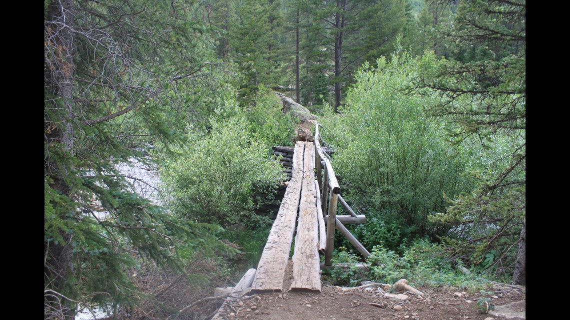

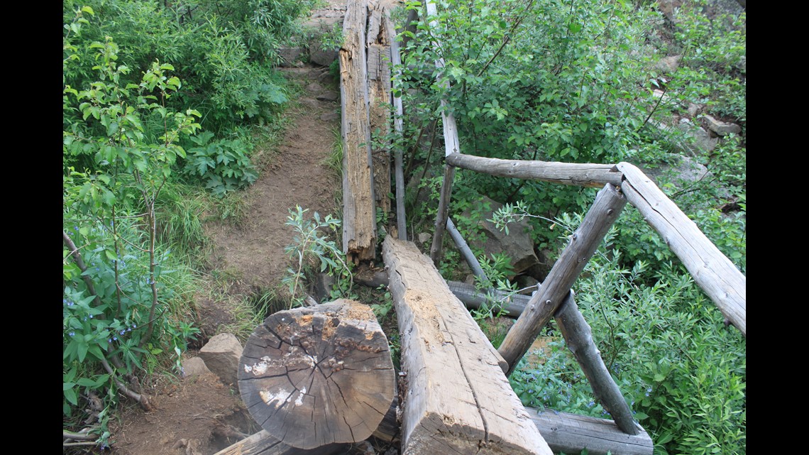
The other challenging crossing came at a group of fallen trees that are in the middle of a waterfall.
The first view of Lone Eagle Peak can be seen in the home stretch, with about a mile left in the hike. Its spire stands out among the other peaks in the area. Look for the stacks of rocks that point the way across a large boulder field.

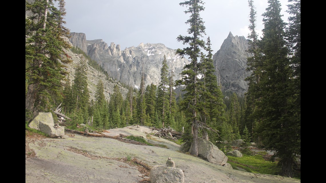

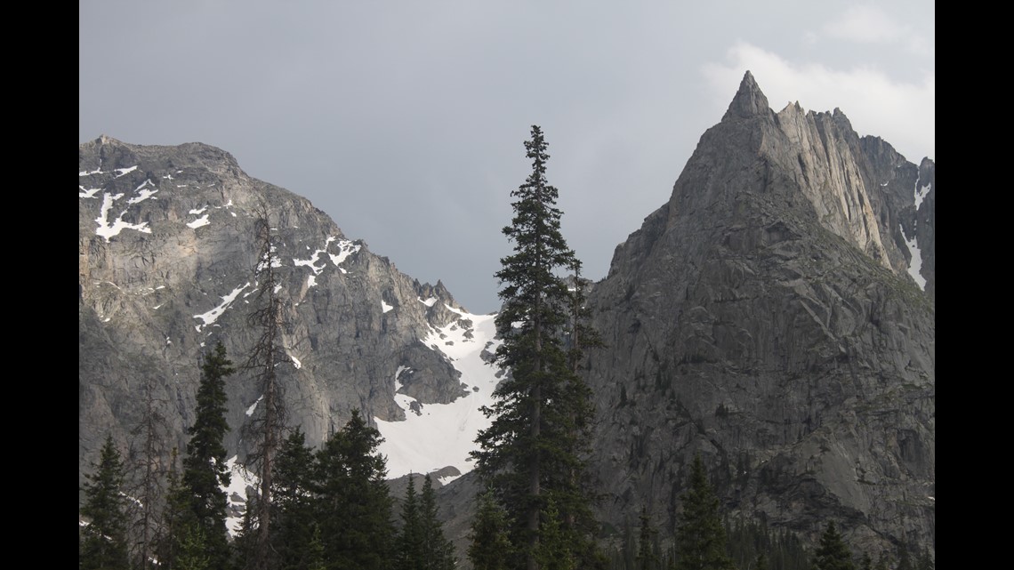
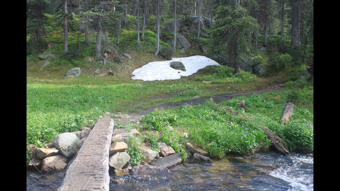
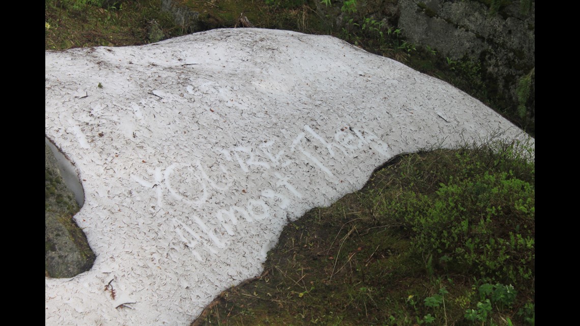
There is one more small stream crossing, and even in late June and early August there can be snow left behind in the shady spots. An inspirational message written in the snow just before the final set of switchback climbs read, “You are almost there.”


Here, there are also the first two of about a dozen campsites in the area. They are very spread out and difficult to spot at first. Look for the markers in the trees to point the way.

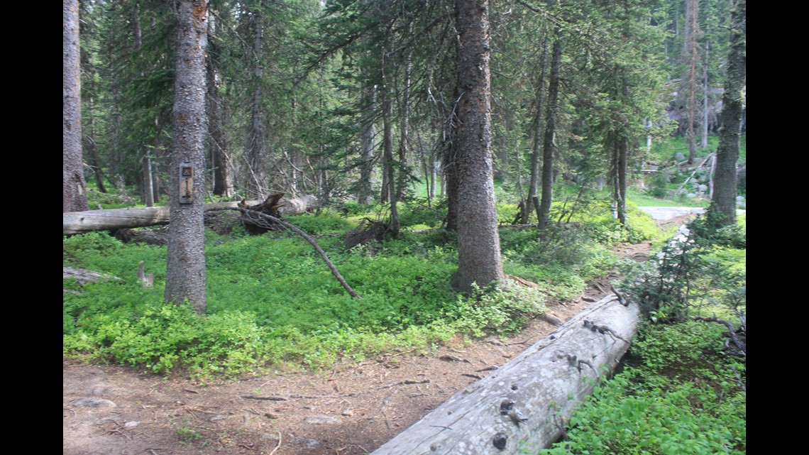

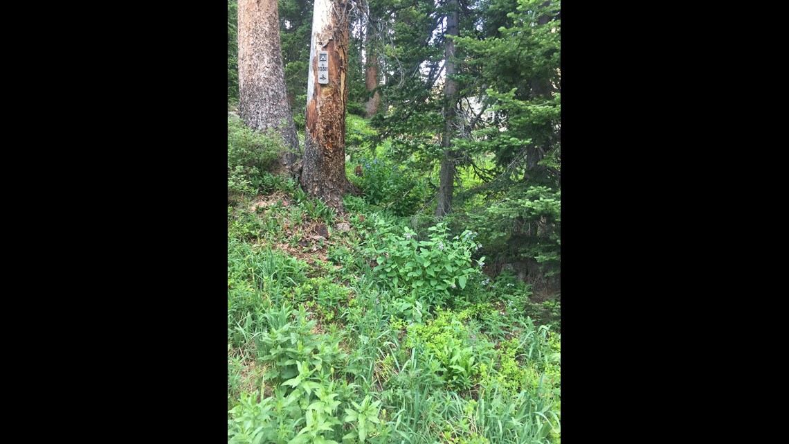
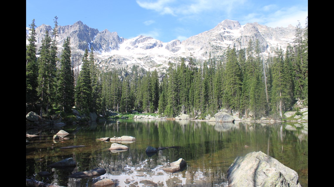
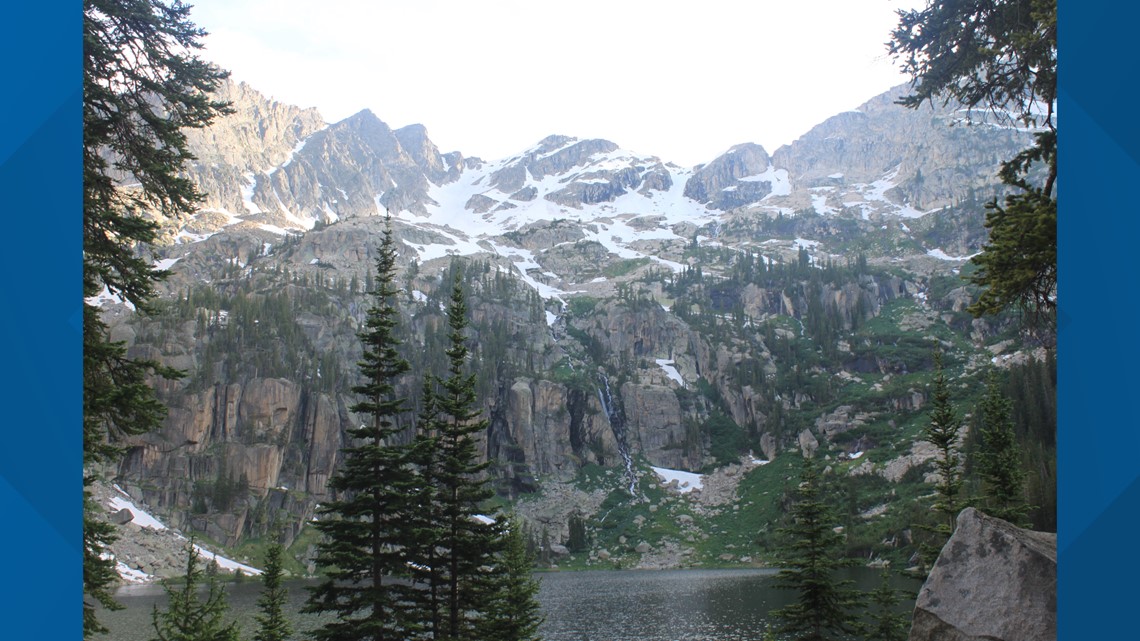
A final short climb leads to the two lakes at the end of the trail. The first is Mirror Lake. Calm, peaceful and, as the name implies, it is almost like a mirror that offers perfect views of Lone Eagle Peak rising above it.


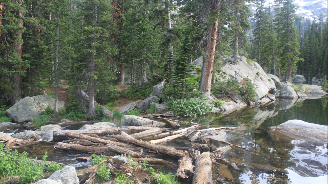

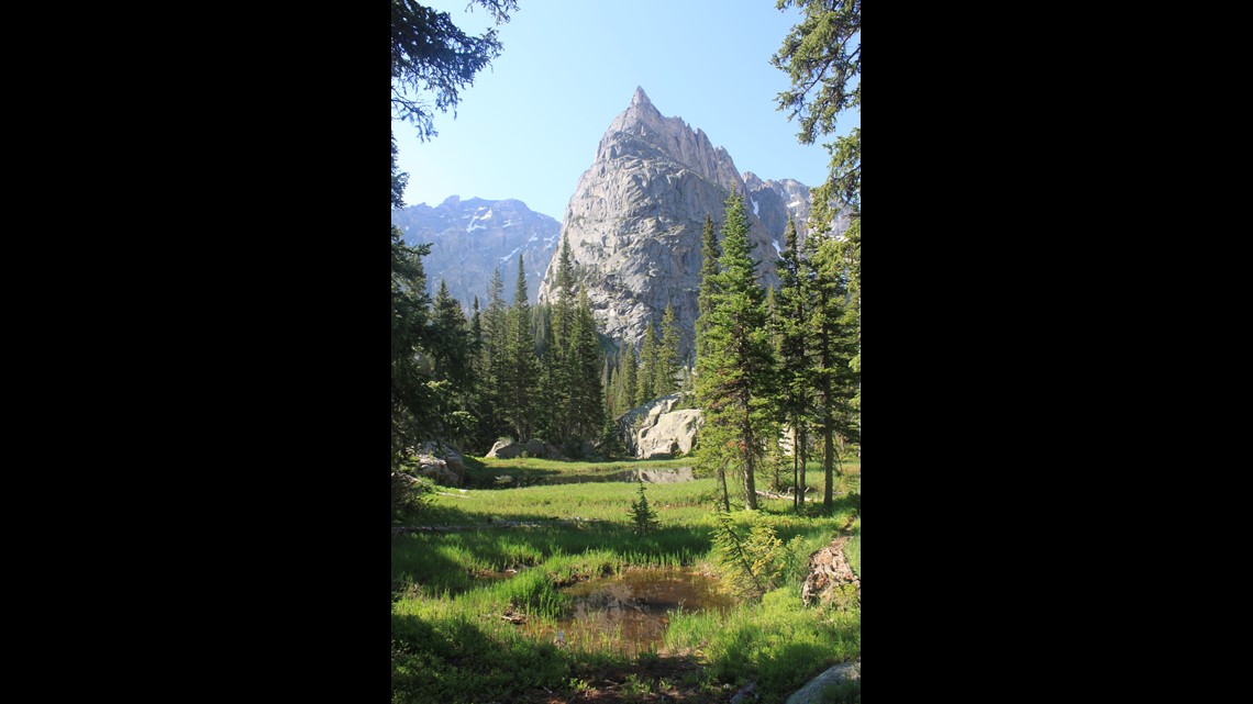
Lone Eagle Peak should be seen from every angle, making this a great spot for camping. The colors change throughout the day as the sun moves overhead. At Crater Lake, there is an old cabin Campsites 10 and 11 are the last ones on the far side of Crater Lake, and they have the best view of the peak. Campsites 5 and 6 are just below the peak and are also a stunning location to spend the night.

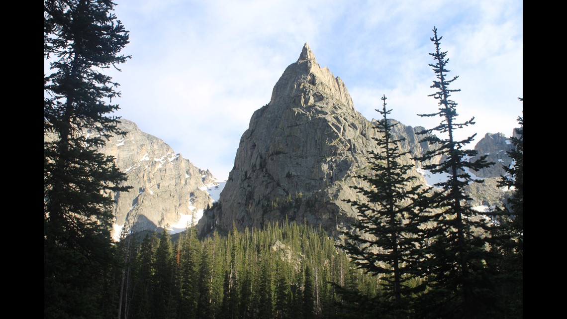

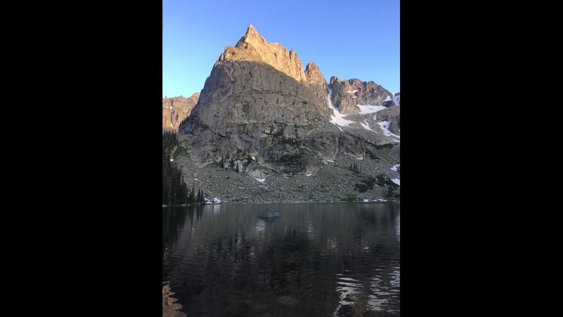

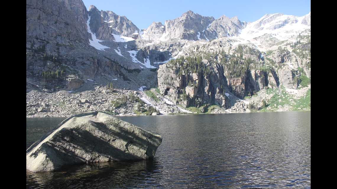

Lone Eagle Peak has had two names since the first summit was made around Sept. 1, 1930. At that time it was named “Lindbergh Peak.” That may be because the first summit was just a few years after Charles Lindbergh made the first solo flight across the Atlantic Ocean. One of Lindbergh’s many nicknames was ”The Lone Eagle.” Eventually Lone Eagle Peak replaced Lindbergh Peak as the name for this mountain.


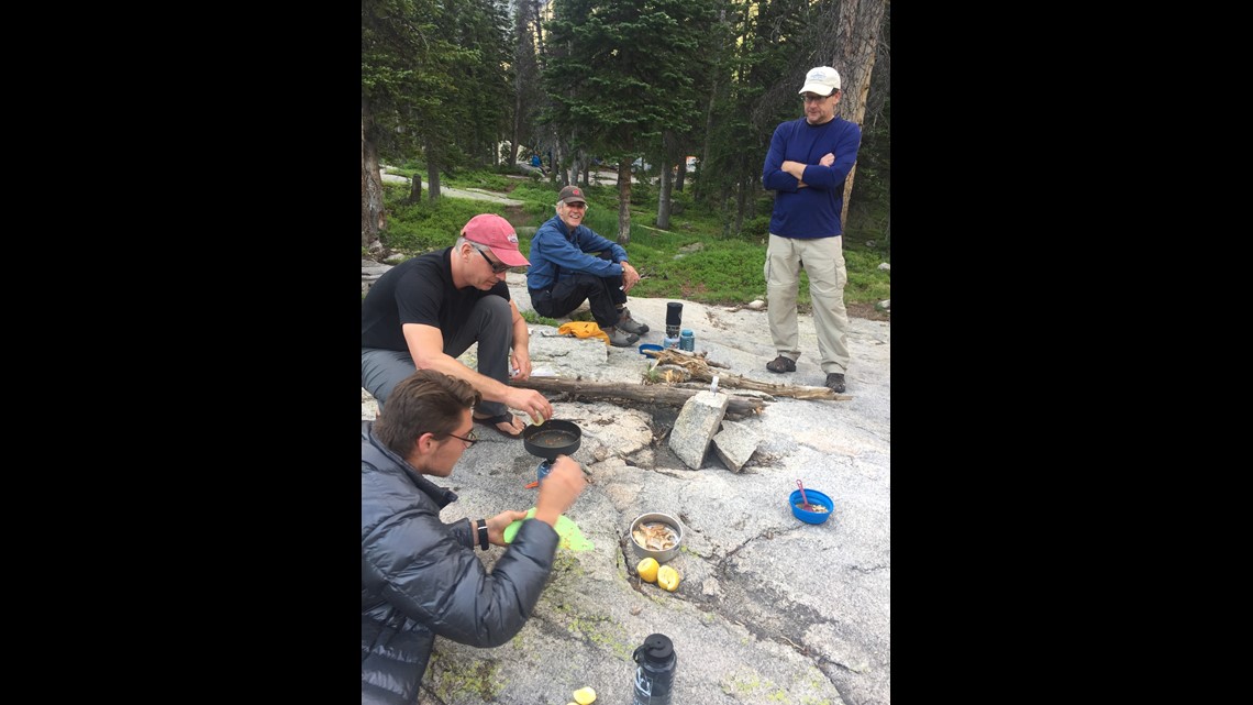
Fishing is another reason people stay at this serene location. (While I planned to fish on day two at Crater Lake, the group next to me didn’t pack a part of their stove needed to cook their incredible catch of fish from that day. I had the right part and before long we all sat together to enjoy the evening and one of the best meals I’ve ever had in the high country.)

