PARK COUNTY, Colo. — Hydrologists with the Natural Resources Conservation Service (NRCS) measure snowpack in the Colorado Mountains. They use a network of 115 automated weather stations called Snowpack Telemetry stations (SNOTELS), but they also do hand measurements in locations they call snow courses.
A snow course is a set of 10 measurement locations at the headwaters of creeks and rivers in the Colorado mountains.
“The set location is very important because we are being consistent in measuring that exact location month after month, year after year," said NRCS hydrologist Brian Domonkos.
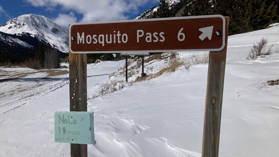
He said it makes comparisons through the years fair and reliable. 9NEWS went with NRCS as they measured the snow course on Mosquito Pass in Park County.


Mosquito creek flows into the Middle Fork of the South Platte to help form the headwaters of the South Platte River. 50% of Denver’s drinking water is in this snow.
The snow season is far from over, but the amount of snow that’s fallen through the end of February will allow these hydrologists to issue an early spring runoff forecast.
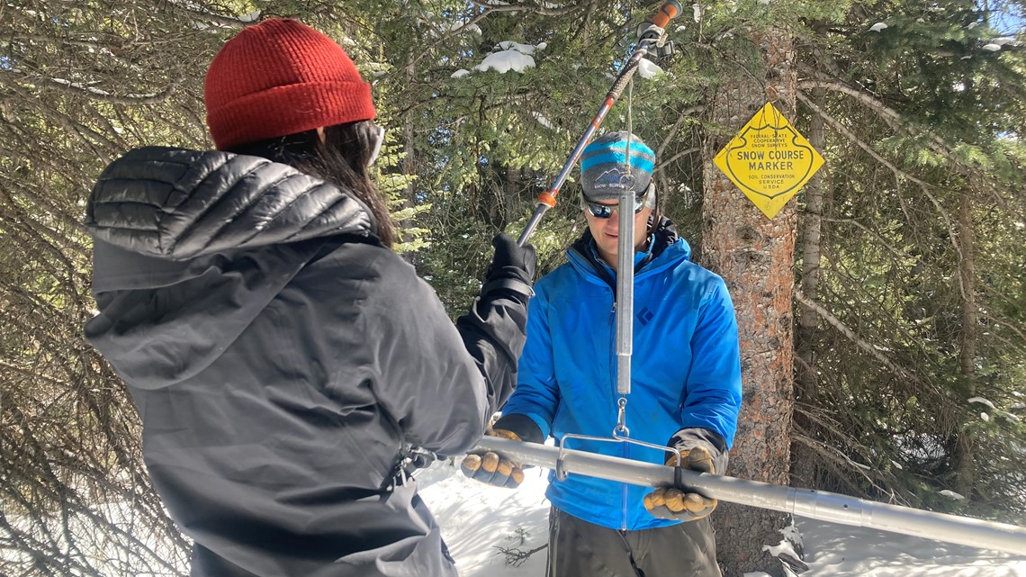
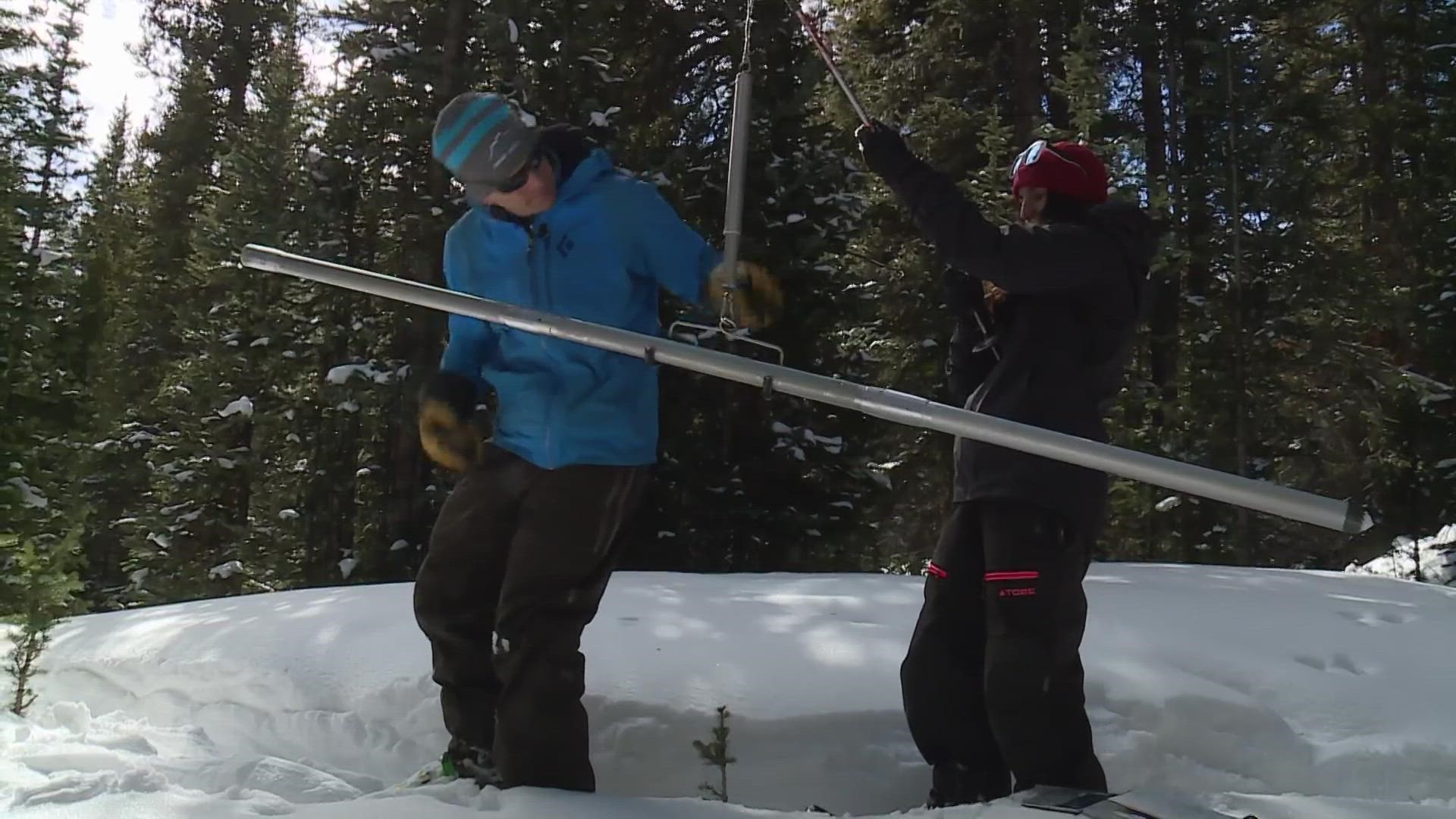
It was a short quarter-mile snowshoe through knee-deep snow to reach the snow course. Two NRCS hydrologists hauled their measurement gear in in backpacks.
“We extract that sample, that core of snowpack. And we simply weigh it against the scale," said Domonkos. "And that weight of snow is truly the amount of water that is in the snow right there.”


And the numbers in this basin may be a little surprising to some.
The measurements showed the snowpack to be 18% below average — very different from the news of big snow this season on the Western Slope of Colorado.
Once all the tributaries of the South Platte are factored in, however, like the South and North Forks, Clear Creek, Boulder Creek, the St. Vrain, the Big Thompson, and the Cache la Poudre headwaters, the basin as a whole was 7% above average on the last day of February. Which brings a little more hope of at least an average runoff.
The South Platte basin also typically hits its peak level of snowpack a little later in the season compared to other headwaters in Colorado. The average peak is April 23.
But there is another factor beneath the snow that could dampen the actual amount of runoff that makes it into the river system.
“We’re finding that the soils are very dry, and that drought is really causing the runoff that we’re seeing to be less efficient.”
The NRCS is scheduled to issue their runoff forecast by March 9. But another round of snow course measurements will be made before the final forecast on April 1.
SUGGESTED VIDEOS: Colorado Climate

