WASHINGTON — The National Oceanic and Atmospheric Administration’s Climate Prediction Center says there is a 60% chance that a weak La Niña event will develop this autumn and could last until March.
La Niña is part of a natural climate cycle that can cause extreme weather across the planet — and its effects vary from place to place.
Although there is no guarantee how this La Niña will play out, there are some general trends. Experts say northern parts of South America could see more rain than usual. Southern regions of the U.S. and parts of Mexico could be drier than average. The northern tier of the U.S. and southern Canada could be wetter than average.
La Niña is the cool phase of the El Niño-Southern Oscillation, a naturally occurring global climate pattern that involves changes in wind and ocean temperatures in the Pacific and can cause extreme weather across the planet.
El Niño is the warm phase and happens when trade winds that typically blow across the Pacific toward Asia weaken, allowing warm ocean waters to pile up along the western edge of South America. But during La Niña, the trade winds intensify and cold water from the depths of the sea rises up, resulting in cooler than average ocean temperatures in the eastern Pacific.
These cold ocean temperatures and changes in the atmosphere affect the position of the jet stream — a narrow band of fast moving air flowing from west to east around the planet — by bumping it northward. The jet stream sits over the ocean and can tap into its moisture, influence the path storms take and boost precipitation.
Just recently Earth experienced a “triple-dip” La Niña event from 2020 to 2023. “We had three back to back winters where we had La Niña conditions, which was unusual because the only other case of that happening was back in 1973 to 1976,” said Michelle L’Heurex, a climate scientist at NOAA. L’Heurex said that La Nina’s tend to last longer and be more recurrent than El Niño events.
“It’s unusual although it’s not unprecedented,” said Ben Cook, climate scientist at the NASA Goddard Institute for Space Studies affiliated with Columbia University, about the forecast for a possible La Niña this year.
Cook noted that the frequency of La Niña events can be stressful for regions that have been dealing with drought lately, such as East Africa. “If we’re moving into another La Niña event, it means kind of a continuation of those really bad conditions."
La Niña weather impacts
The influence La Niña has on the weather varies based on location and the season, said L’Heurex. Parts of South America, such as eastern Argentina, can be drier than average while Colombia, Venezuela and northern parts of Brazil can be wetter than normal.
“It depends exactly where you are. Part of that is because there’s a monsoon cycle, wet and dry season, that goes through Central America and South America, so La Niña is basically modifying the intensity and placement of those monsoon cycles,” explained L’Heurex.
In the U.S., the Northeast and Ohio Valley typically see wetter than normal conditions with an active storm track due to the position of the jet stream, said Samantha Borisoff, climate scientist at NOAA’s Northeast Regional Climate Center based at Cornell University.
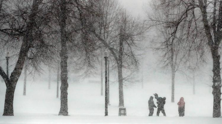
The waviness of the jet stream can also cause more frequent cold outbreaks, particularly in the central and southern U.S. Borisoff said snowfall is difficult to predict and highly dependent on the storm and path it takes, but noted that New England, New York and the Great Lakes region tend to be snowier during La Niña winters, but that is never a guarantee. The southern and southeastern regions of the U.S. are farther away from the active storm track and tend to be drier and warmer than normal.
La Niña, El Niño and climate change
Scientists say the link between climate change and La Nina and El Nino is not entirely clear.
Paul Roundy, climate scientist at the University of Albany, said climate models tend to indicate more frequent El Ninos and less frequent La Ninas, but not all models agree. Computer models also struggle to separate normal variation in the El Nino and La Nina phases from climate change’s warming influence on the oceans and atmosphere.
“I would not infer from that that climate change isn’t actually causing more El Niño emergence," Roundy said. “It’s just that nature itself has such strong swings on its own. So we can get multiple La Niña events, and maybe in 40 or 50 years we’ll be seeing the opposite.”
___