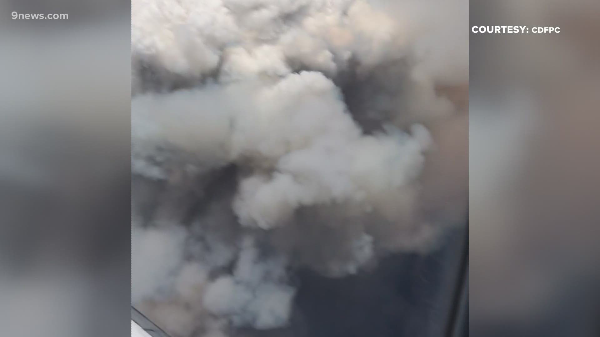
GRAND COUNTY, Colo. — Containment of the Williams Fork Fire has increased to 25%.
The fire has charred 14,091 acres so far.
Fire officials said increased fire activity was possible Friday due to warm temperatures, low relative humidity and winds from the west aligning with the ridges.
Single tree torching and small group torching are expected in the southeastern and the northeastern edges of the fire, officials said.
As the weekend progresses, temperatures are expected to drop, winds are forecasted to shift and there is a slight chance of precipitation, according to fire managers.
Officials said strong winds up to 50 miles per hour will precede a cold front Sunday.
> Video above: How fires can create their own weather.
Fire growth is expected to slow, expanding minimally in the area of Upson and Richey Creeks, officials said.
The fire is trying to cross the Williams Fork and Bobtail Creek near Jones Pass. Crews are using fire to reduce unburned and partially burned fuels, in spruce dominated habitat, on the southeastern fire edge, officials said.
There are 334 people battling the fire as of this writing.
On Thursday, Arapaho National Forest managers lifted closures on the northern portions of Beaver Creek Road (Forest Service Road 133) and Little Muddy Creek Road (Forest Service Road 134.1) to give hunters access to the Blue Ridge area north of the fire.
The fire, which is burning about seven miles southwest of Fraser, started near the Henderson Mill on Aug. 14 and quickly grew due to high winds, steep slopes and dense fuels.
The cause of the fire was determined to be human-caused and tips are being sought from the public.
Anyone who was in the Williams Fork area the night of Aug. 13 or the morning of Aug. 14 and has photos of the area where the fire started is asked to email them to SM.FS.usfsarp@usda.gov.
Those without photos, but who have information to share can call 307-745-2392 and select option 5. Callers are asked to leave their name and call back number so law enforcement can contact them for follow up.
SUGGESTED VIDEOS: Colorado wildfires

