

LARIMER COUNTY, Colo. — When a wildfire burns, it leaves behind devastation and an increased risk of flooding. After the Alexander Mountain Fire, the Larimer County Sheriff's Office is using drones to monitor the area to help mitigate, and prepare for, potential flooding.
The team uses the drones to look at catchment points where rain may collect.
"We’re trying to look into the creeks that we think have the highest potential for flooding," said Dave Frey, Emergency Services Specialist with the Larimer County Sheriff's Office.
"Burn scars flood really because the fire comes through, and it’s going to take off the vegetation. So all the grasses that would be collecting water, when they’re gone, the water is just going to come down," Frey said.
Trees also absorb water through their roots and canopy. When both the trees and vegetation are removed due to a fire, the flood risk goes up. Couple that with the fact that high intensity fires, Frey said, can cause hydrophobic soils, creating a waxlike effect on the ground. Instead of absorbing water, the soil repels the water.
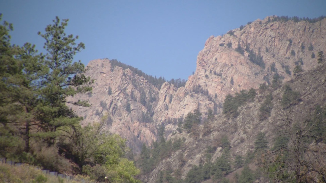
Even more complex is that wildfires don't burn in a consistent pattern. They typically burn with high intensity in some areas and lower in others, creating a mosaic pattern on the ground. Being able to assess that can help crews determine what type of flooding might occur and where.
"It gives us a new viewpoint. Just getting something up in the air, you can see vantage points. You can see things that you can’t see from the ground," Frey said. "That’s one of the immediate benefits we saw from drones."
The bird's-eye view also allows Frey and the team to assess the landscape and see where water might pool and how quickly it could move down into areas of concern like residential neighborhoods.

The sheriff's office said one area of concern following the Alexander Mountain Fire is the Cedar Cove area off Highway 34. The same creek was affected by a flood in 2013.
"This area is a specific concern because of where the Alexander Mountain Fire burned. If we look at maps and look at where the drainages are, the vast majority of the drainage from that fire comes into this creek right here," Frey said. "We know if we get a strong rain over the fire area, this basin is collecting most of that rain and therefore is going to be the biggest problem from the Alexander Mountain Fire."
Frey and other drone specialists have been trying to get to the area quickly when a thunderstorm occurs to get a drone into the area to see what the water flow looks like in real time.
"Then we can actually look up and see what the water flow is in real time to see if we can get up drainage to give the folks who live down drainage a heads up of what is coming their way," Frey said.