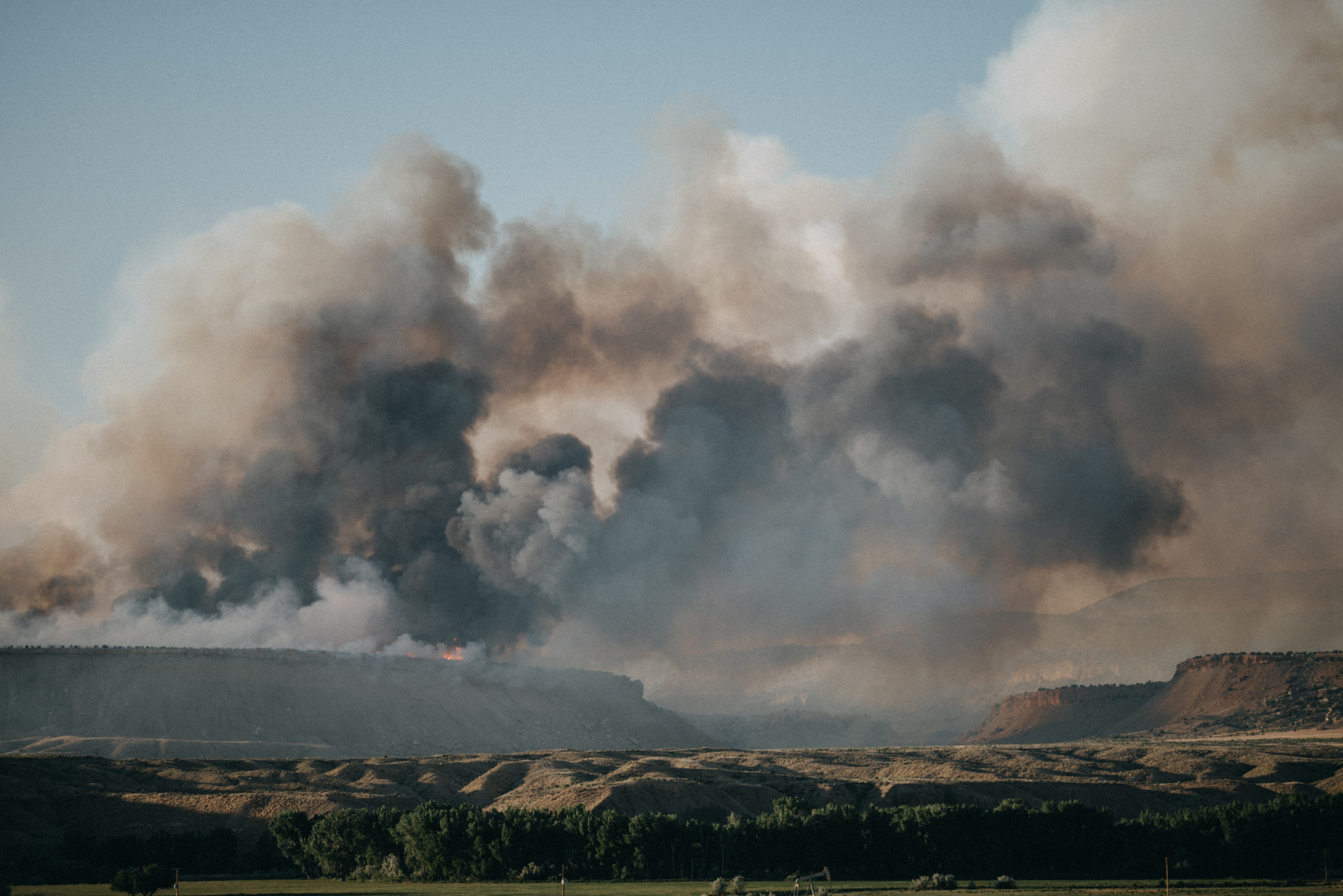
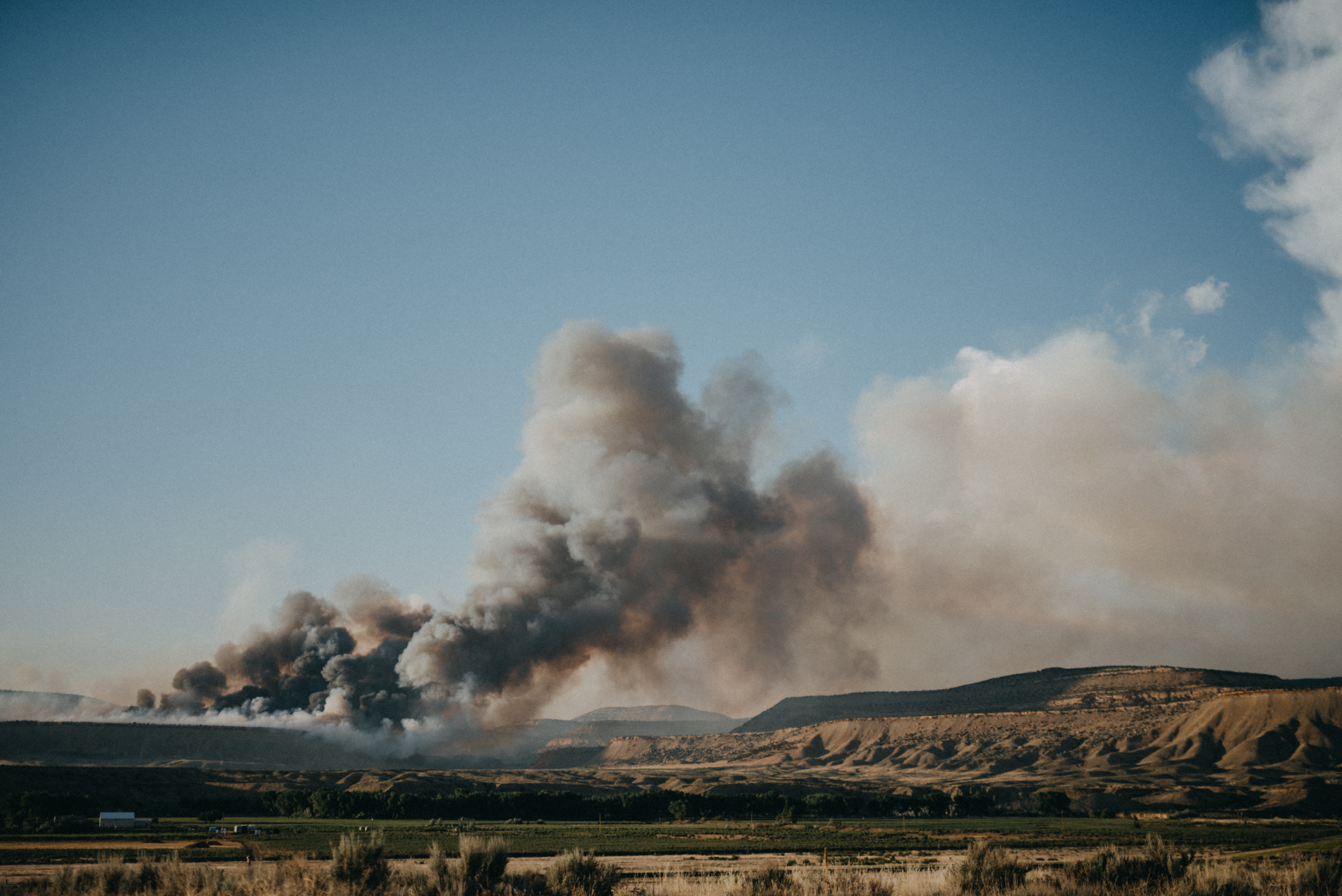
A fast-moving wildfire on Colorado's western slope grew by another 2,000 acres on Tuesday afternoon, bringing the total to 17,731 acres burned.
At 9 p.m. on Tuesday, 10 percent containment was reported, up from zero percent during the afternoon.
As of Monday night, the Dead Dog fire was estimated at roughly 5,000 acres, but winds and warm, dry weather have fueled the fire. Crews reported winds of up to 70 miles per hour.
#DeadDogFire: 17,731 Acres | 10% Contained#HunterFire: 992 Acres | 70% Contained https://t.co/pGI8P0McaN
— CO - Emergency Mgmt (@COEmergency) June 14, 2017
On Tuesday morning, The Type 2 Rocky Mountain Area Incident Management Team Black assumed command of the fire. At noon on Tuesday, the fire was estimated at 16,470 acres.
It is burning sagebrush, pinyon juniper and cheat grass on Bureau of Land Management land.

This is a map of the fire's general location, 10 miles west of Rangely, Colorado on the Western Slope.
A public meeting for the Dead Dog - and nearby Hunter - fire is scheduled for 5:30 p.m. Tuesday, June 13, in the EEC building in Rangely (402 West Main Street).
The Bureau of Land Management told 9NEWS that the reason it's called the Dead Dog fire is that fires are named by the first person on scene and take into account geographic landmarks in the area.
The fire is burning in Dead Dog Gulch, hence the fire's name. It's unclear why the gulch is named Dead Dog Gulch.
Updates are posted here.


