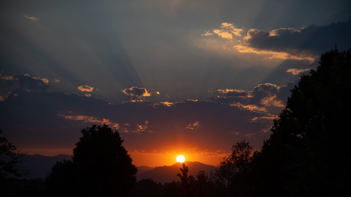
DENVER — The thin blanket of wildfire smoke over the Colorado mountains the past few days has been great for sunset pictures, but its also spawned a few air quality alerts along the Front Range.
The presence of that smoke is also a sign of how the wind pattern has shifted.
Wildfires have been burning to the northwest of Colorado all summer, but high pressure has pushed most of it away from our state. Now, that high pressure has shifted northwest which brings the wildfire smoke towards Colorado – and it also brings a chance for stronger winds.
Those blustery fall winds will now become more frequent, starting with cold fronts on Friday and Saturday.


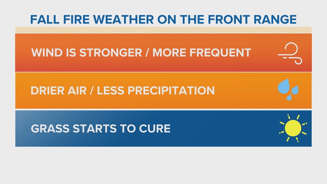
Wind is part of the reason that typical fall weather on the Front Range of Colorado can increase wildfire danger. It's stronger and more frequent than it typically is in the summer. The air is also drier, there’s less precipitation and the grasses start to cure.
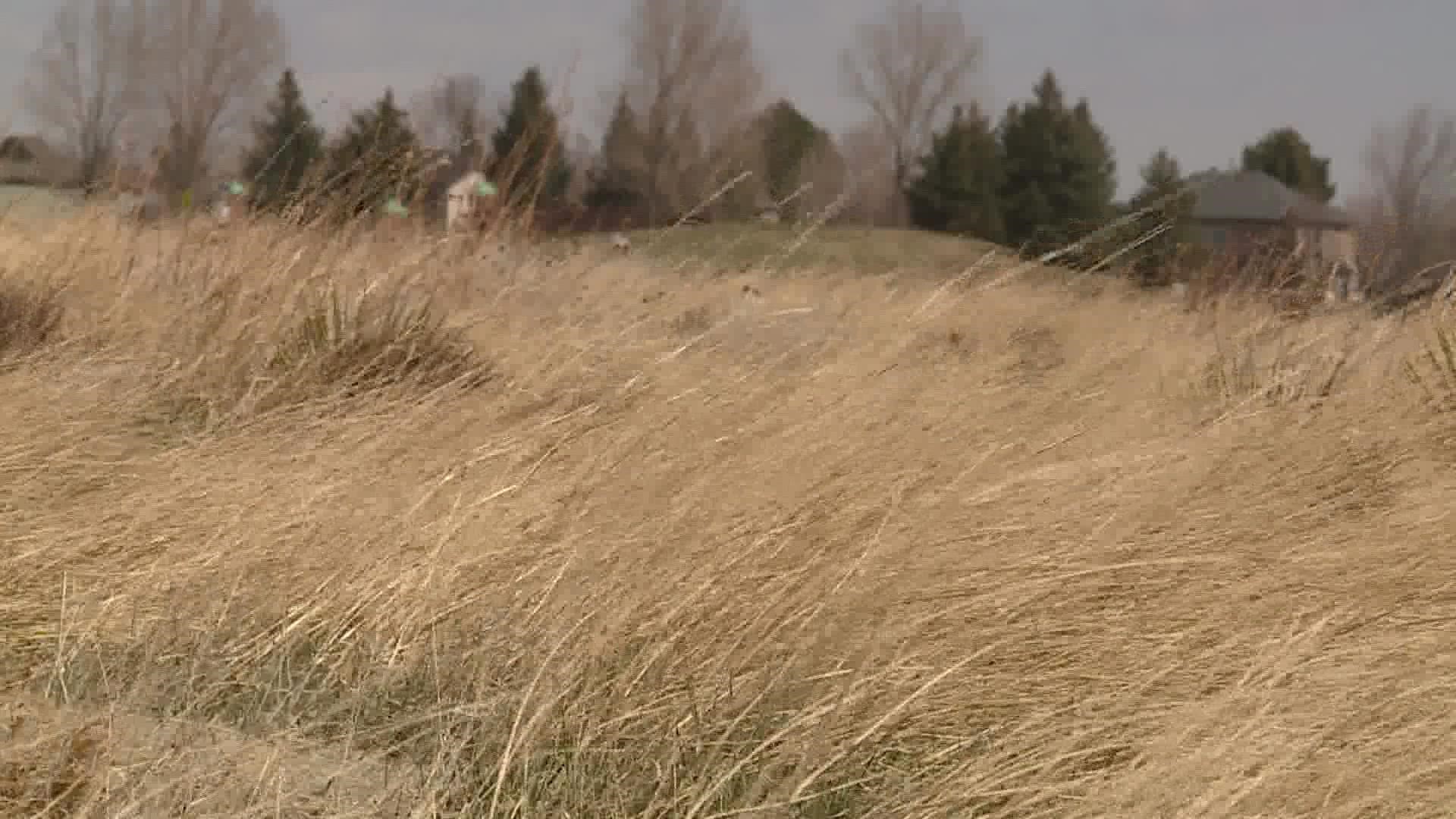
When grasses cure, they either die or become dormant which means they’re very dry. And wildfires usually start in the grasses and grow in strong winds.


That means wildfires can happen in urban greenbelts and open spaces, on the prairies of the eastern plains, and even in the forests because a fire can start in the ground cover and move up the ladder fuels into the tree canopies.
There is a Red Flag Warning in place on the northeast plains Thursday for gusty southwest winds of 10 to 20 mph with gusts up to 35 mph, and relative humidity as low as 8%.
There is another Heat Advisory and an air quality alert on the Front Range for Thursday.
The record-breaking heat means moisture has been evaporating from the vegetation more rapidly. And many areas in Jefferson County like Arvada, Wheat Ridge, Lakewood, Golden and Evergreen have not seen significant rainfall of more a tenth of an inch in 21 days.
Wildfire danger will likely stay high until a consistent winter weather pattern develops, which in a similar fall pattern last season didn’t happen until January.
SUGGESTED VIDEOS: Colorado Climate

