
DENVER — A group of Boulder-based engineers is preparing to launch the world’s latest wildfire detection tool; a constellation of satellites that will orbit the Earth tracking fires.
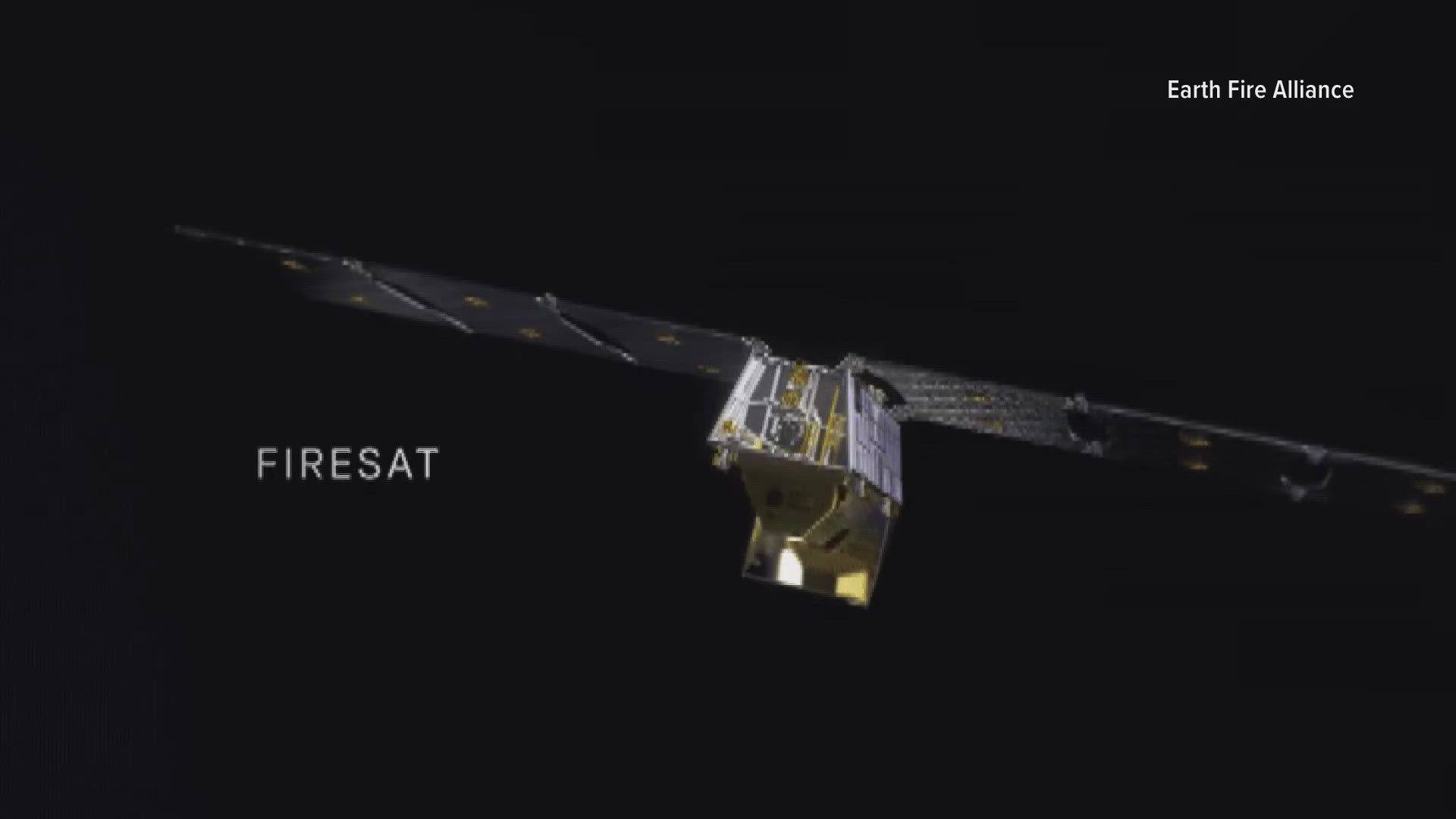
The FireSat system, designed by Earth Fire Alliance, will provide free access to firefighters across the world, allowing them to spot new fires, and track existing ones.
“It’s amazing technology,” said Brian Collins. “Every part of the globe will be able to observe fires that start, how the fires behave, and their impact on the landscape every 15 minutes.”
Collins says the first satellite will be launched in March of 2025, with three more in 2026. Ultimately, they plan to have 52 satellites in orbit, allowing them to track an individual fire multiple times per hour.
The satellites will include infrared images, normal photos, and short-wave images, allowing them to see through smoke all the way to the ground.
That data will be free to firefighting organizations across the globe, but Collins says they’re still working through how they’ll make that happen.
The initial launch of the satellites was funded through philanthropic donations, including a recent $13 million donation from Google, according to Collins.
“I'm a space person, I come from the space industry in Colorado,” said Collins. “But I laugh that the rocket science is not the hard part, we know how to do that. Now, we need to get the data in the hands of firefighters and start finding out how that's going to change their decisions on the ground.”


Max Cook is a PhD candidate at the University of Colorado Boulder, and studies how big data can help prevent and fight wildfires.
“As you can imagine with something like near real-time active fire detection, there’s a lot of data being collected,” he said. “And so that goes back to this really kind of nexus between the amount of data and the type of data that's being collected, and then our capability to actually analyze that data.”
Cook says the data will also be beneficial for researchers after fires have been extinguished.
“In combination with early detections, we're also going be able to understand more about the characteristics of fire behavior and how those characteristics relate to things like structure loss in communities and difficulties in suppression tactics,” said Cook. “So, I think that's another element of this active fire detection that's going to be really important moving forward.”
Federal legislation has been introduced to help communities pay for data collection and utilization from satellites. That legislation is expected to be discussed in 2025.