Colorado is not exempt from the renewed attention on white supremacy groups.
You may not realize that a popular neighborhood is named after Denver politician, who also was a member of the Ku Klux Klan.
"We have the log books here at History Colorado and he's listed in the register as B.F. Stapleton, number 1128," said History Colorado Chief Creative Officer Jason Hanson.

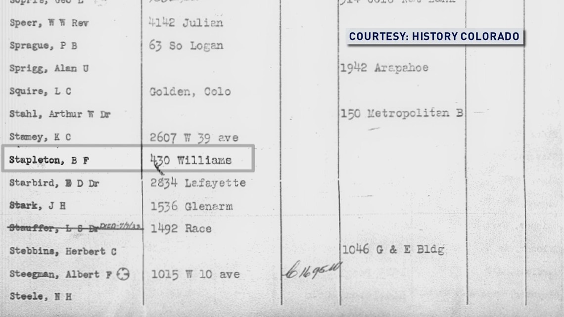
"STAPLETON"
B.F. Stapleton is Ben Stapleton, Denver's former, five-time mayor.
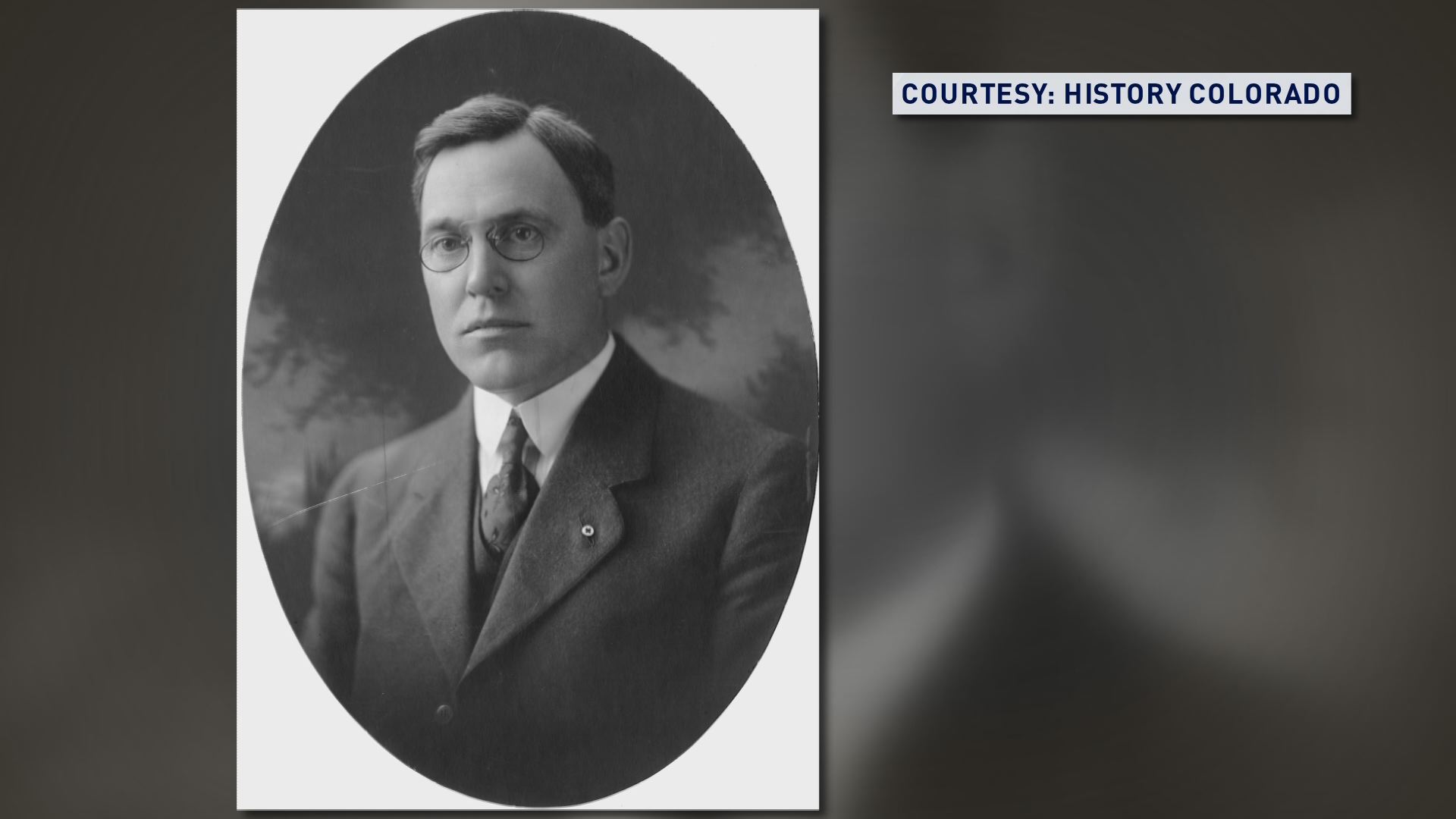
The Stapleton neighborhood bears his name because Denver Municipal Airport was built during his terms, which was later expanded and renamed Stapleton International Airport. When the airport moved, and became Denver International Airport, the Stapleton name stuck with the neighborhood of the former airport.
"If they're not going to officially change the name, I'm going to stop using what I call the 'S' word and I'm going to call it 'KKKapleton,'" said activist Aaron Johnson, who interviewed with us in his backyard in the Valverde neighborhood of Denver.
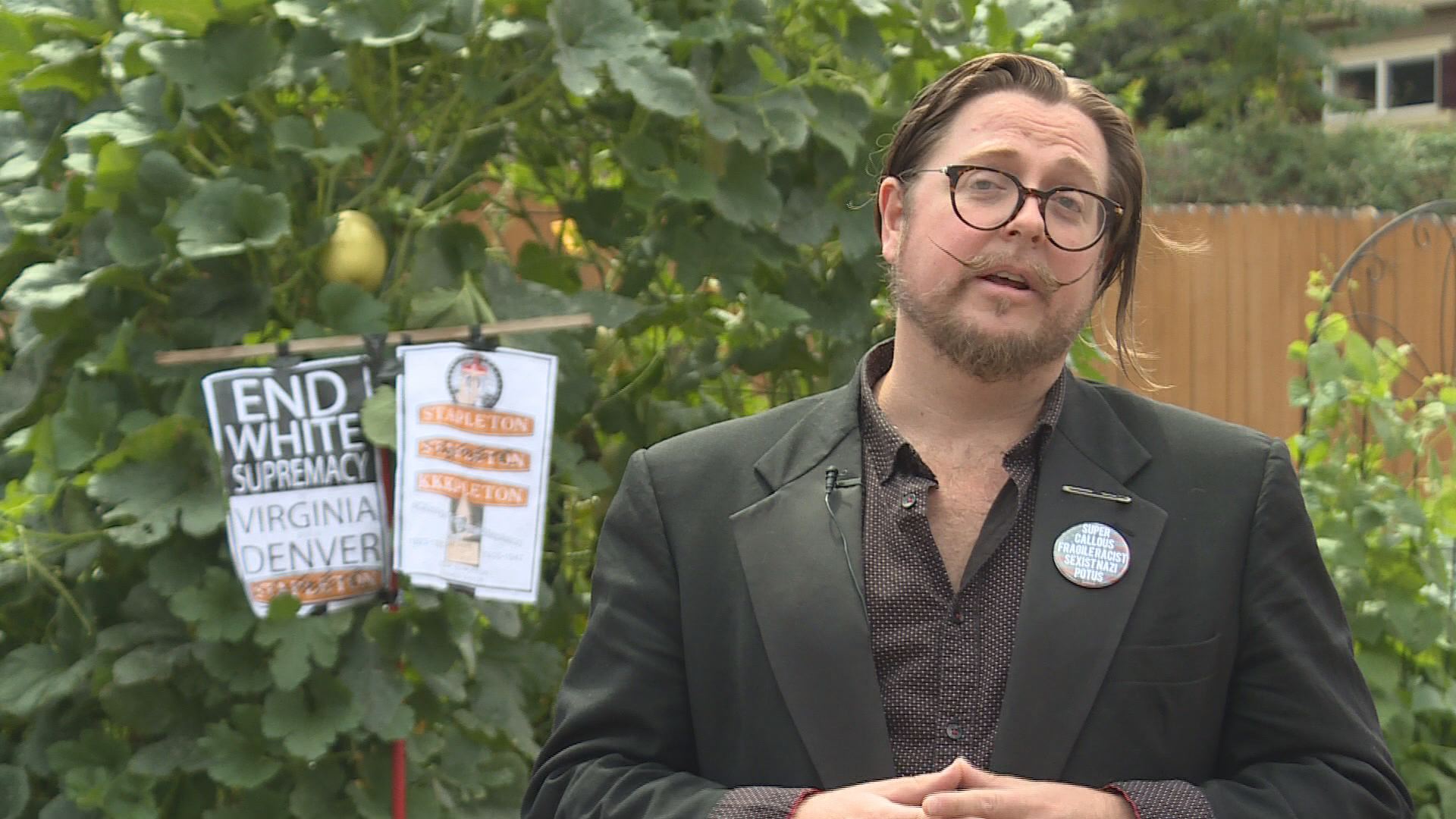
"I don't live in Stapleton, but I am a resident of Denver, so I think it's very important that the stakeholders who do live in Stapleton speak out on this," said Johnson.
"Nobody denies that Ben Stapleton comes with a lot of baggage, and I think that makes for a really healthy debate that gets people focused on their history. The Klan certainly endorsed a slate of candidates and he was one of them," said Hanson. "Stapleton is recognized for the same reasons that we have Speer Boulevard and the Webb Building. He was a mayor who left a major impact on Denver during his time here."
Stapleton is also credited with the construction of Red Rocks Amphitheater and the start of what would become Interstate 25.
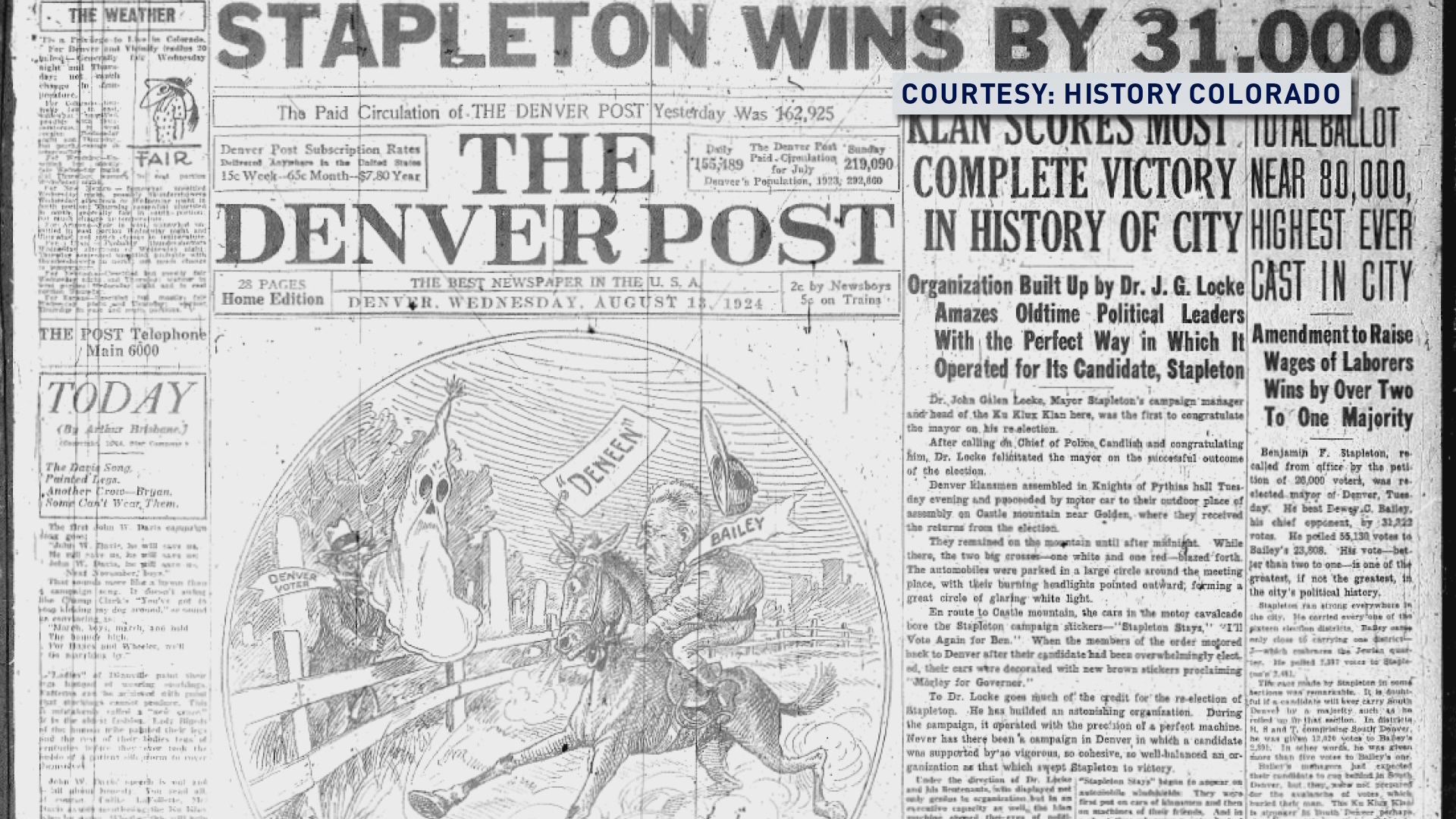
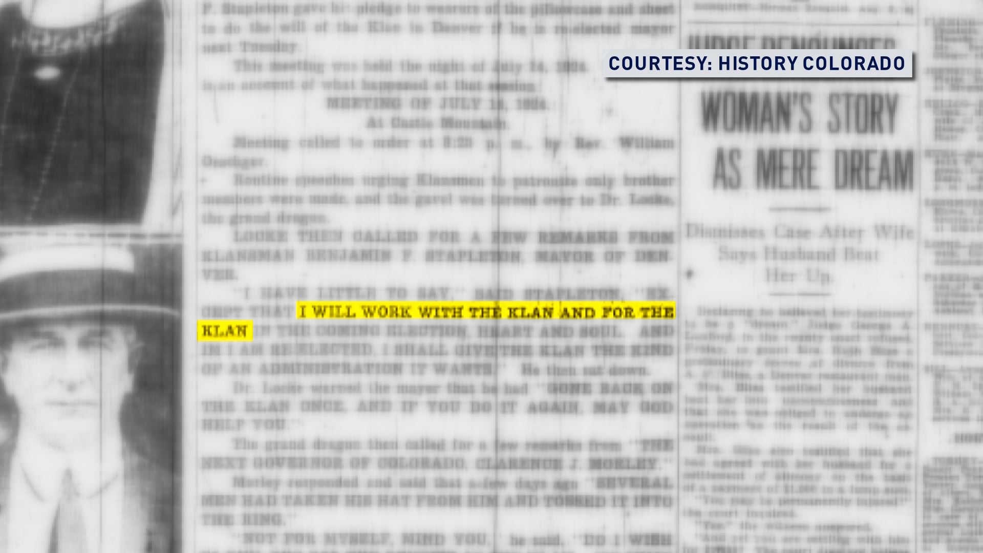
Newspaper clippings from History Colorado that are from August 1924 editions of the Denver Post, show evidence of Stapleton's support of the KKK.
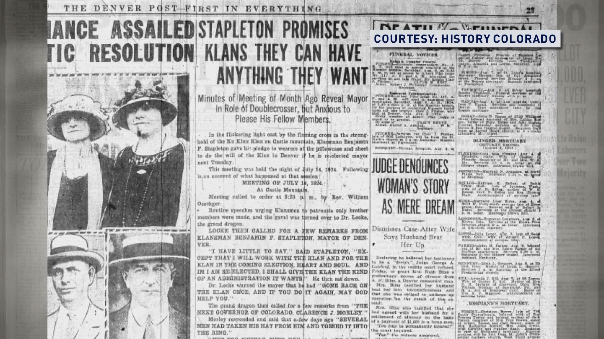
"When he was campaigning for election, (he) gave a speech to the Klan assembled on South Table Mountain outside of Golden, and told them that he would work with them and for them," said Hanson. "That's a quote from the newspapers of the day."
THE BRANDING
The developer of Stapleton is Forest City.
Forest City spokesman Thomas Gleason said that when it was selected in 1998, it agreed to develop new names for individual neighborhoods, schools, parks, pools and retail centers. He provided a list of those names, which we've included below.
Gleason also said that Stapleton is a geographic locator within Denver, no different than Washington Park or Park Hill.
"Why then is Forest City spending all this money to create a website, create a logo, put that branding on wine glasses, make radio advertisements that I keep hearing?" Johnson asks.
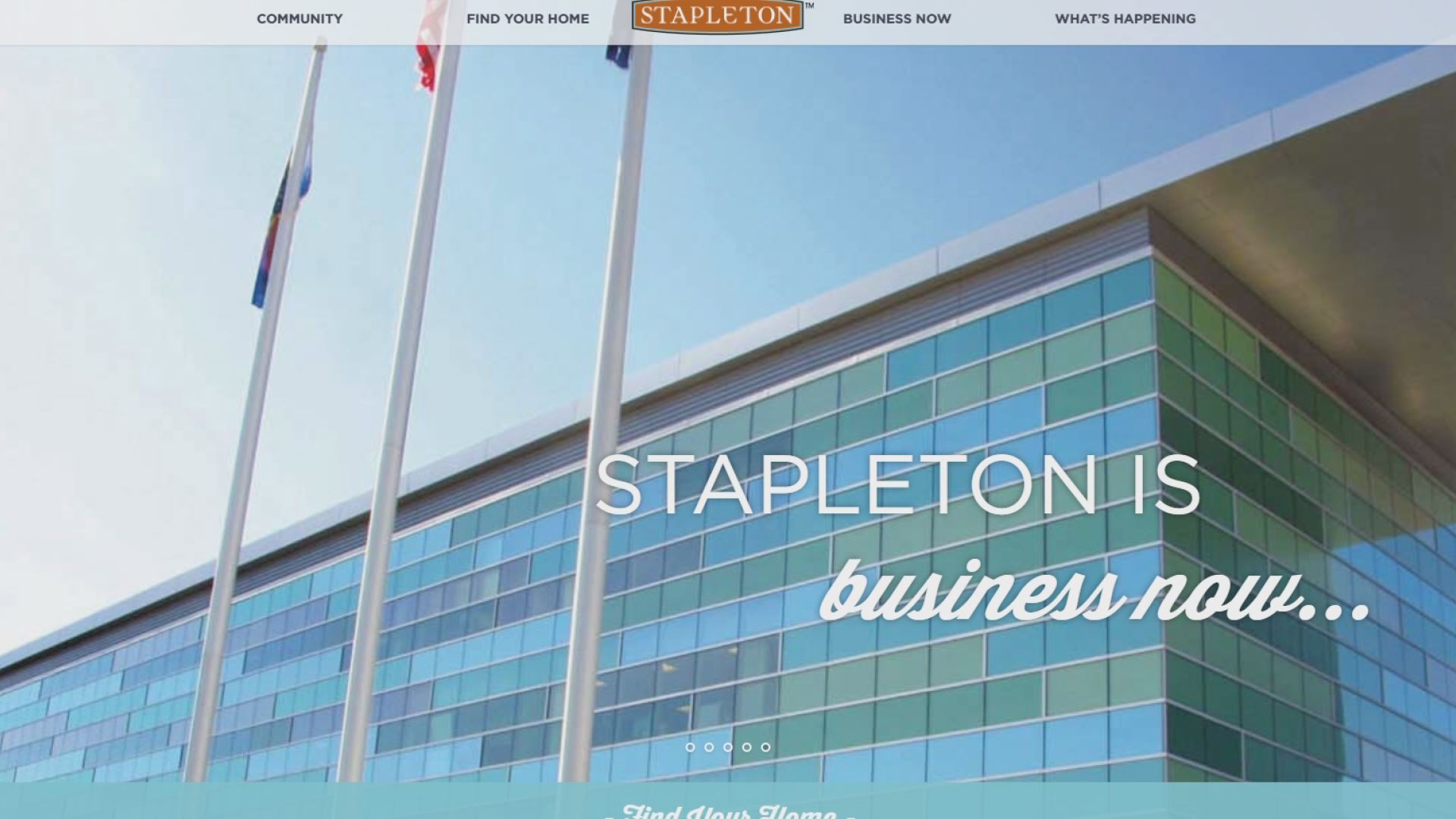
We asked Forest City why its website has Stapleton in the name and why it produces materials with Stapleton, if it's simply a geographic locator.
"The use of the name Stapleton in the items you refer to is all part of the marketing of this property, which is necessary for the project to succeed," said Gleason.
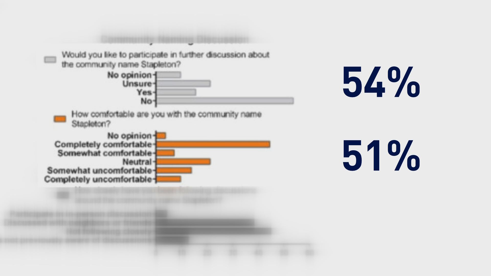
According to Amanda Allshouse, the president of the Stapleton United Neighbors association, a survey was conducted this past spring and the majority of residents who participated are OK with the Stapleton name.
The city said that any attempt to "memorialize" a change to the Stapleton name would need robust community conversation and a City Council resolution.
FOREST CITY NAMES IN STAPLETON:
Neighborhoods:
E. 29th Avenue
South End
Westerly Creek
Eastbridge
Bluff Lake (Phase 2 will include Aurora parcels)
Central Park North
Central Park West
Conservatory Green
Willow Park East
Wicker Park
Beeler Park
Schools:
Westerly Creek Elementary
Bill Roberts Elementary
Denver School of Science & Tech (senior high)
Anchor Center for Blind Children
The Primrose School
Montessori Children’s House of Denver
Knowledge Beginnings Early Childhood Learning Center
Isabella Bird Community School
Swigert Elementary
Discovery Middle School
McAuliffe Middle School (at Smiley Campus)
Denver School of Science & Tech (Conservatory Green)
High Tech Elementary
The Goddard School
Northfield High School
Parks/Open space:
Art Park
Arrowhead Park
Bouquet Park
Cherry Pie Park
Community Garden
Constellation Park
F-18 Parks
Fall Park
Green Links
Harvest Park
Heritage Park
Lilac Lane
Measurement Park
Pizza Park
Quilted Garden Park
Rumble Park
Sail Park
Songbird Park
Spinning Spokes Parklet
Spring Park
Summer Park
Square Park
Terra Park
Triangle Park
Valentia Street Parkway
Greenway Park
Westerly Creek
Founders Green
Central Park
Bluff Lake Nature Center
The Sand Creek Greenway
Fred Thomas Park
Prairie Meadows
The Uplands
Conservatory Green
Winter Park
Pools:
Aviator
Puddle Jumper
F15
Jet Stream
Runway 35
Maverick
Retail Centers:
Quebec Square
E. 29th Avenue Town Center
The Shops at Northfield
Eastbridge Town Center
Metro Districts:
Park Creek Metro District
Westerly Creek Metro District
Public Art:
Eye on the Horizon (After Monet)
The Airfoils
The Picnic
Garden Stories
Chorus
Prairie Reef
Streets:
Most streets on the former airport property, such as Martin Luther King Blvd., carry the same names as the streets in the surrounding communities. In some cases, new streets, such as Central Park Blvd. and Prairie Meadows Parkway, were added.
WHY NEIGHBORHOOD NAMES EXIST
(Provided by Denver's Department of Community Planning and Development)
Today’s statistical neighborhood boundaries are based on U.S. Census tract boundaries and use “permanent” geographic boundaries like major streets and rivers. The basis for the current statistical neighborhood delineation was established in the early 1970s as part of a federally-funded urban renewal program, driven by the need to keep consistent boundaries for the purposes of data tracking and historical comparison.
Census tract boundaries are established with the intention of being maintained over a long time period so that comparisons may be made from census to census. Where changes must occur because of population increases, annexations or changes in physical features, boundaries are retained or tracts are subdivided whenever possible.
EXAMPLES OF BOUNDARY CHANGES
The evolution of Denver between 1960 and 1970 required some changes.
Example: changing some tract boundaries to add small areas annexed to the city, or to adjust for revised physical features like Hampden freeway. Other boundary changes occurred when tracts were consolidated or split due to population drops or gains.
Before this delineation, a variety of different geographic systems had been developed by multiple local agencies, preventing the coordination of research, or historic comparison within and among the geographic areas. For example, in the 1960s, the city was divided into “residential” and “non-residential areas” for data purposes, but demographic and other changes made this an ineffective delineator, and it was changed around 1972.
STATISTICAL NEIGHBORHOOD NAMES
Neighborhoods were delineated based on U.S. Census tract boundaries, but planners recognized that census tract code numbers did not readily evoke identifiable locations. To overcome this problem, individual tracts, or aggregates of up to four tracts, were assigned names corresponding to area “neighborhoods.” Neighborhood names were derived from some familiar internal feature, such as a well-known geographic or institutional feature (Bear Valley, Civic Center, University). Some were based on original subdivision names. The Stapleton “neighborhood” was delineated and named in 1972 based on the fact that it was almost completely comprised of Stapleton International Airport at the time.
WHAT'S IN A NAME?
Statistical neighborhood: There are 78 statistical neighborhoods in Denver. Their names and boundaries were largely determined in 1972 as part of a federally-funded urban renewal initiative to establish boundaries that aligned with U.S. Census tracts.
These neighborhood names are sometimes, but not always aligned with commonly-used names; same goes for boundaries. The city often uses the statistical neighborhood names for various purposes, but also uses colloquial names as well. For example, Denver Community Planning and Development has published a River North Plan and a Golden Triangle Neighborhood Plan; neither of these terms are statistical neighborhood names.
Historic district: In some areas, the most common neighborhood identifier corresponds with the name of a designated historic district. For example: Lower Downtown Historic District, Curtis Park Historic District, Alamo Placita.
Business or arts district: In some areas, the most common neighborhood identifier corresponds with the name of a business or arts district that markets itself as such: Cherry Creek North (business district), RiNo (River North) arts district.
Registered neighborhood organizations: There are nearly 200 registered neighborhood organizations in Denver. These are geographically-based community groups whose boundaries and names are determined by the groups themselves. In some cases their names and boundaries correspond with their statistical neighborhoods, but in most cases they do not.
Other: Others are names or nicknames that gain conventional use as the city changes. LoHi is a relatively new nickname for an area recently dubbed “Lower Highland” by some. “Ballpark” caught on after Coors Field was established in the 1990s, and is now the name of a corresponding historic district. According to the Denver Post, then-Denver-Post-columnist Dick Kreck coined the expression LoDo in a column he wrote on Nov. 2, 1983. Some names are floated but never catch on.
Examples of statistical neighborhood names and corresponding conventional names:
Civic Center Golden Triangle (the city uses this in many ways)
Union Station Lower Downtown
Speer Alamo Placita (parts)


