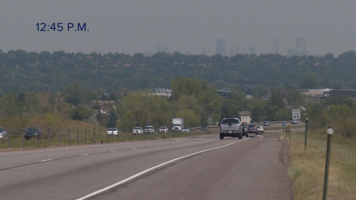
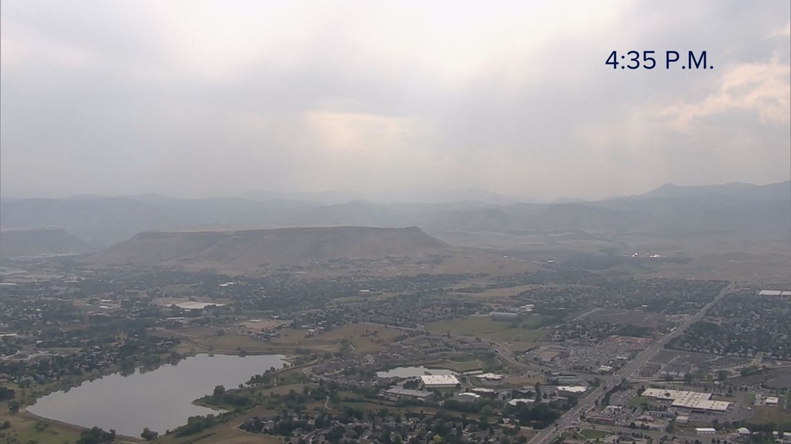
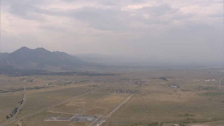
DENVER — Wildfires still burning in the mountains and to the west of Colorado are not to blame for all the haze you've been seeing and nasty junk you've been breathing.
The Colorado Department of Public Health and Environment has a few online tools to help you figure out why the sky looks the way it does, and if you should go out and exercise or run errands.
"Wildfire haze is more purply, where ozone haze is like white," said Amber Ortega, state air quality meteorologist.
The Air Quality Summary shows a breakdown of the air quality in different cities based on a calculation of the air monitoring stations in those areas.
It updates each hour.
On Thursday, for example, the air quality progressively got more "moderate" and "unhealthy for sensitive groups" as the day progressed because of higher ozone levels, not wildfire smoke.
"Later in the day, we'll probably see numbers in the orange for ozone. Ozone is particularly bad if you have lung issues, where particles are bad if you have heart issues," said Ortega.
The Air Quality Summary breaks down ozone versus particulates. The summary is color-coded.
Green = Good
Yellow = Moderate
Orange = Unhealthy for Sensitive Groups
Red = Unhealthy
Purple = Very Unhealthy
Black = Hazardous
"If you're practicing for that marathon and you're going to take a lot of air in and out, you don't want to be doing that practice run at 5 p.m. when the ozone is the highest for the day," said Ortega.


The Monitoring Sites map shows where each of the state's air quality monitoring stations are located. The dots area color-coded based on the conditions at that time. If you click on each dot, you can see the readings from that station. Depending on the station, it may show you ozone readings, particulate readings or both.
If you're considered about wildfire smoke, the National Oceanic and Atmospheric Administration -- NOAA -- has a "near surface smoke" radar map that shows the last 18 hours of smoke over the U.S. The map looks like weather radar, but the colors indicate the severity of smoke, not rain.
"If you're in an area with wildfire smoke, probably don't exercise in the morning because that smoke will hang down to the ground at night, but if you're in an area where it's ozone and not wildfire smoke, you're better off exercising in the morning because the sunlight has not cooked the pollution. High (ozone) levels are usually in the afternoon.," said Ortega.


