DENVER — The fifth floor of the Denver Central Library is a treasure trove of all things Western History. Old artifacts, books, and plenty of maps.
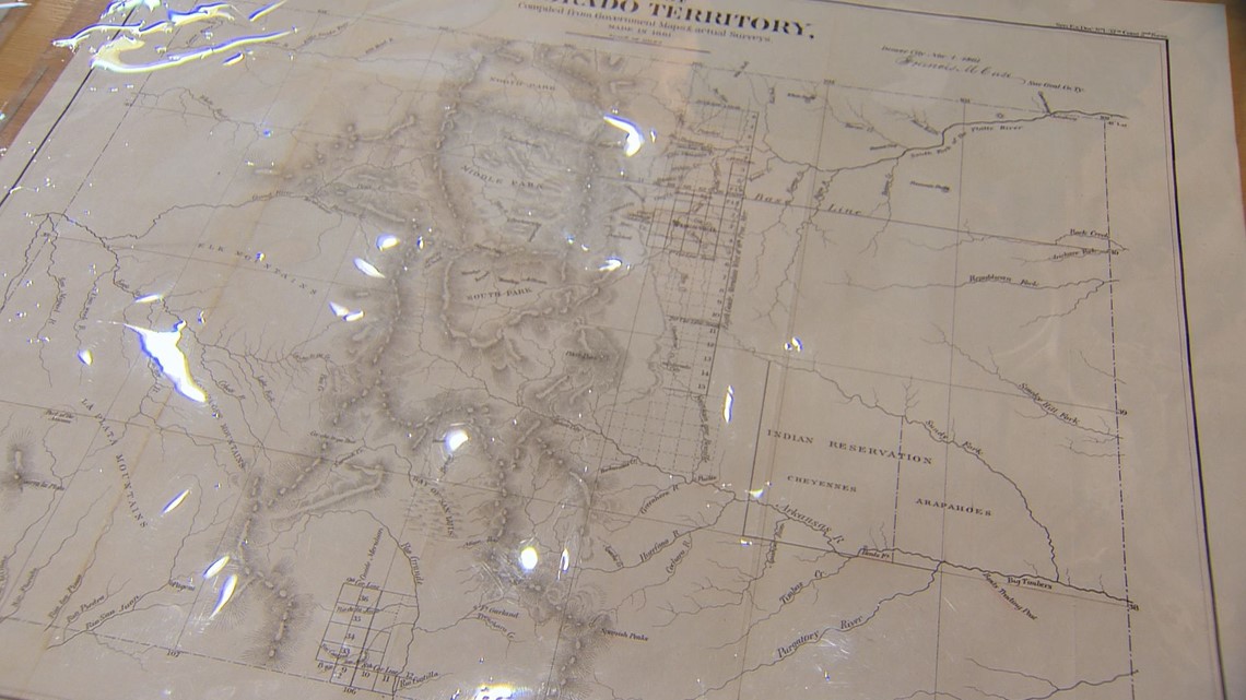
“This one shows the area that became Colorado,” says Wes Brown.
The avid map collector and director of the Rocky Mountain Map Society is pouring over some of the Western History and Genealogy Department’s rarest and most prized maps with Senior Catalog Librarian Craig Haggit when we meet him on Wednesday.
“This one is before the gold rush of 1859,” says Brown.
These maps illustrate the impact of the gold rush on Colorado’s growth. From a Colorado-less 1854 map, to the first map of the Colorado territory in 1861 -- these maps tell a story about the Centennial State.
It all started when gold was discovered around the confluence of the South Platte River and Cherry Creek.
“In the fall of 1858, word got out that there’s gold in western Kansas,” explains Brown. “When spring comes, there’s this massive flood of individuals who come out to the Denver area.”


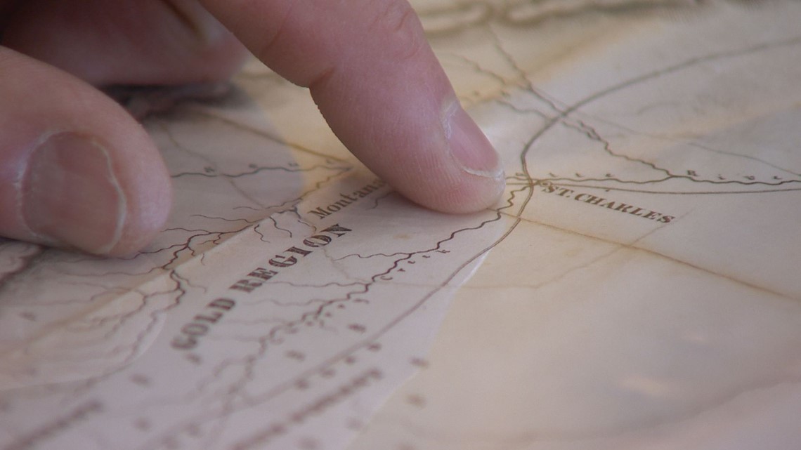
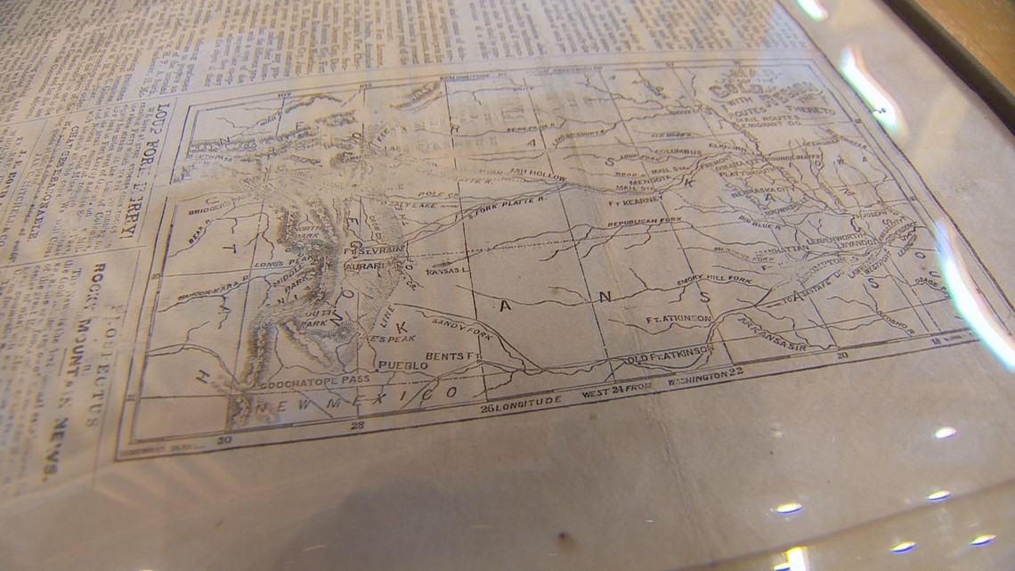
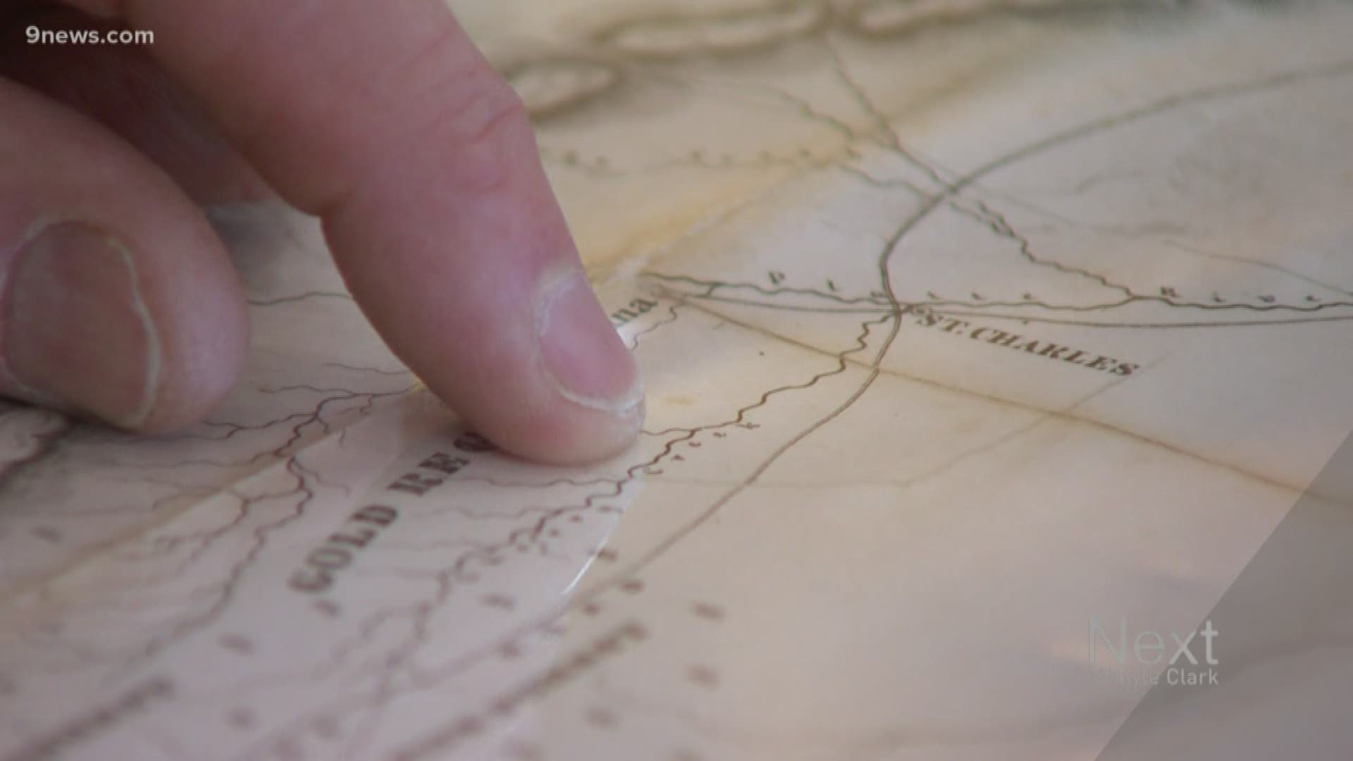
An original map from the start of the gold rush shows the short-lived town of St. Charles, which soon became Denver. An original printing of the first edition of the Rocky Mountain News from April 23, 1859, has a map helping to direct people to the gold fields.


Maps were also used to help drive commerce in the expanding American West, they explain.
“This is a wonderful example of a map that shows how businesses were trying to cash in on these thousands of people coming out west,” explains Brown.
This particular map highlights the Hannibal and St. Joseph Railroad but leaves out some important details for travelers.
“The problem is its 450 miles on foot from [the end of the rail line] to the gold fields.”


Also in the library is an original printing of the first map of Denver. It shows three distinct cities: Denver, Auraria, and Higlands. The three eventually merged to form what is now Denver.
As Haggit says, all of these cartographic artifacts are still important for today’s Coloradoans.
“We all want to know where we came from and what made the land around us. This answers the question of how we as a state became what we are today."
SUGGESTED VIDEOS | Full Episodes of Next with Kyle Clark

