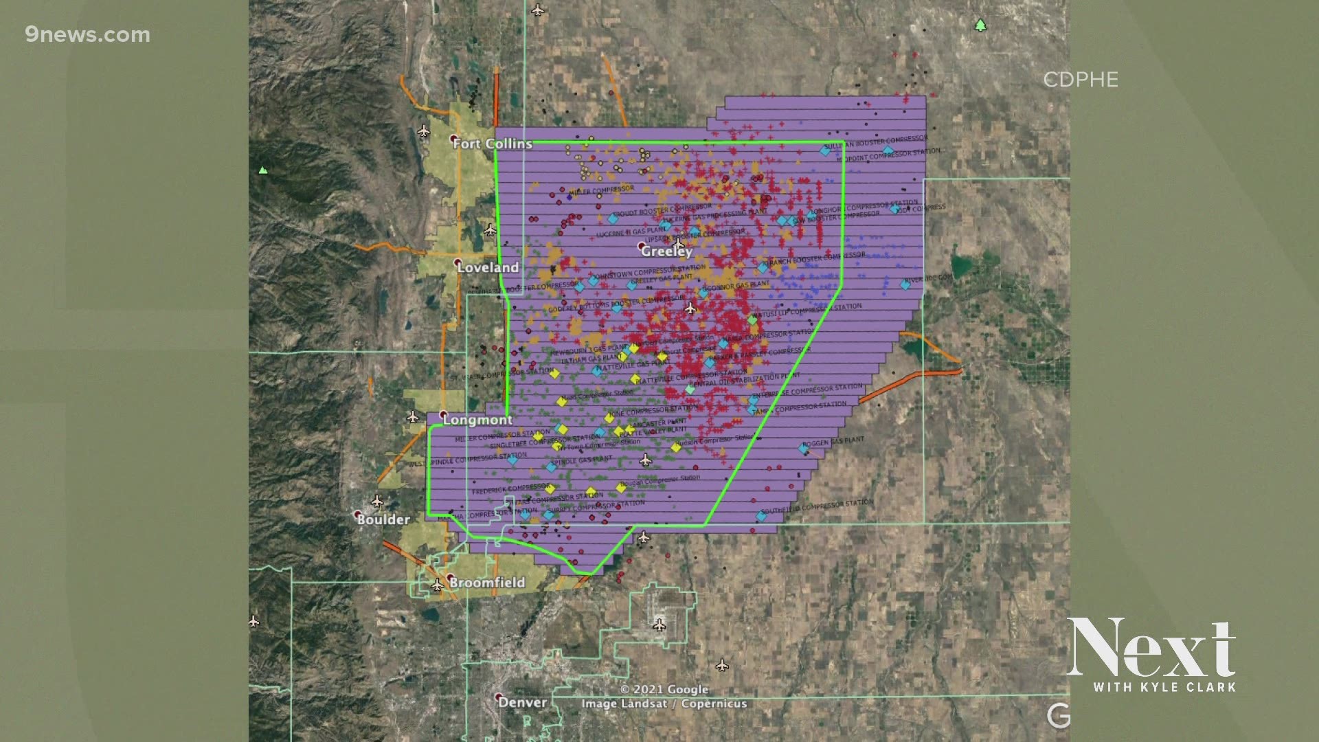
DENVER — The state health department this week conducted its first aerial survey of emissions from oil and gas sites in Colorado.
The Colorado Dept. of Public Health and Environment (CDPHE) flew over Front Range sites on Monday and Thursday with a particular mission to assess methane emissions. They do this using infrared sensors that map out methane plumes, as well as measurements of wind speed and direction.
The state has not yet released its findings from this trip, but more flights are scheduled through 2021.
Data from this flight and future flights will be used to gather information on methane emissions before a bigger aerial study in the fall that will gage other emissions, too, CDPHE said.
“The objective of these aerial surveys is to try to estimate emissions from oil and gas sources, and along with that, see if there are types of sources that need further investigation, may need further regulations – but to try and improve oil and gas operations across the board and reduce emissions,” Gordon Pierce, the technical services program manager in CDPHE’s Air Pollution Control Division, said.
Sites in Colorado are obligated to self-report emissions. Pierce said the final data from these flights will inform future decisions on oil and gas regulations and give them a more accurate look at sources of emissions, potentially even beyond the oil industry.
The state is funding the surveys with settlement money from the 2017 explosion in Firestone that killed two people. That explosion was blamed on an underground pipeline that had been cut off but was still leaking gas.
SUGGESTED VIDEOS: Full Episodes of Next with Kyle Clark

