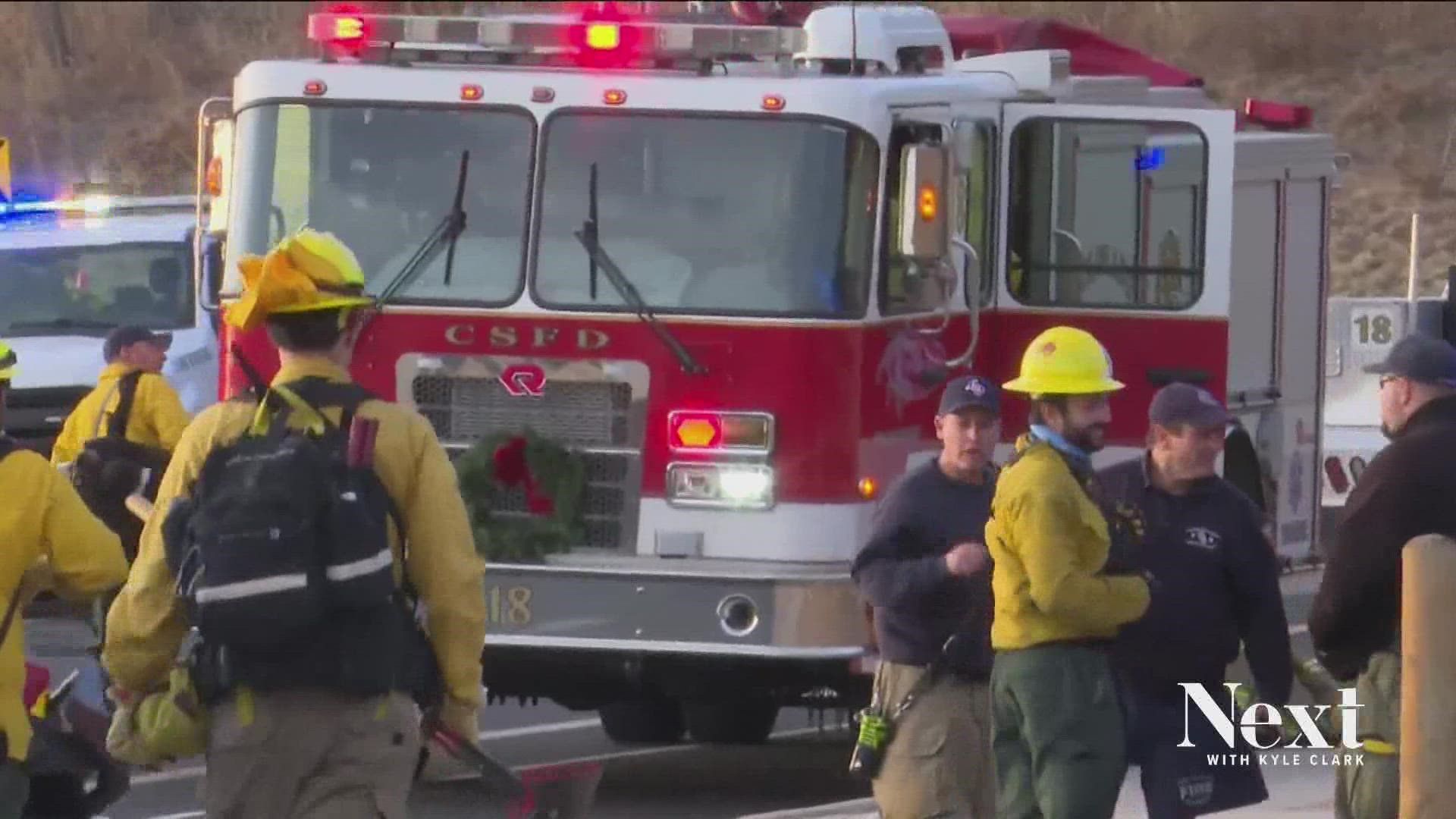
COLORADO SPRINGS, Colo. — Later this year, Colorado Springs is set to unveil a new evacuation system that will split Colorado’s second largest city into 200 evacuation zones.
The new system, run through a program called ZoneHaven, will allow people to see their evacuation zone on a map and have access to real-time information during disasters.
“You’re going to see a massive public information campaign between the [police department], the [fire department], the Office of Emergency Management and the city in general that is going to be ‘know your zone,’” said Chief Randy Royal of the Colorado Springs Fire Department.
“We’re one of the biggest, well, in Colorado, I think we are the biggest Wildland Urban Interface (WUI) community. We have over 35,000 homes in the WUI.”
Royal said one of the key findings in the after action report for the Waldo Canyon Fire in 2012 was issues with evacuations.
“We definitely realized we could have managed that evacuation better,” he said.
After that fire, the city established 72 evacuation zones. But those zones were only known internally by emergency management officials and first responders, the chief said.
The new system creates smaller zones.
“The incident commander would look at his map and say, 'Hey, we have a fire. This is they way it's moving. We need zone 100, 101 and 102 evacuated and we’re going to put 103, 104 and 105 on pre-evacuation,'” Royal said.
“It’s not just for fires. It could be used for a chemical spill. It could be used for an active shooter. It could be used for flooding.”
SUGGESTED VIDEOS: Full Episodes of Next with Kyle Clark

