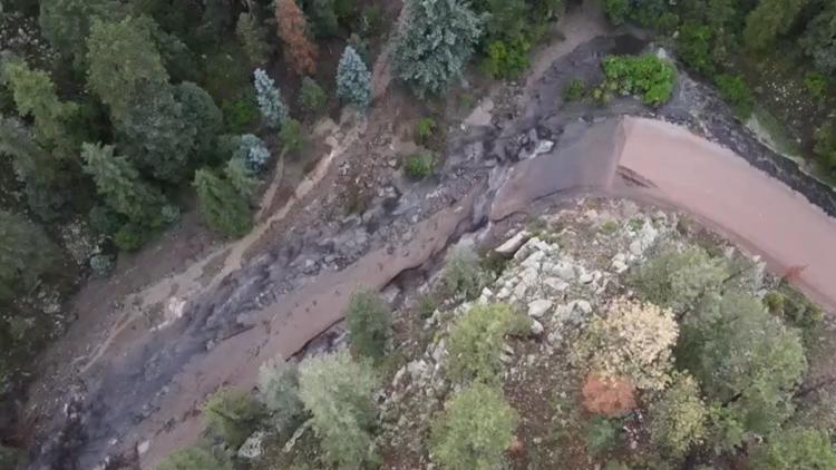
DENVER — Two people were killed after rains caused flooding in the Cameron Peak burn scar area Friday evening.
The Larimer County Sheriff's Office said a woman and girl were in a camp trailer that was swept away in the Buckhorn area. Their bodies were recovered at around 7:30 p.m. Friday, LCSO said. The Larimer County coroner will identify the victims once their next of kin are notified.
A sheriff's office spokesperson said a cabin in the 700 block of Granite Road was destroyed in the flood, but that everyone from the cabin had been accounted for. The area is east of Crystal Mountain along Sheep Creek.
On Saturday, the U.S. Forest Service closed off all National Forest lands between Buckhorn, Glen Haven and the junction of Buckhorn Road and US Highway 34. A map of the closure can be found here.
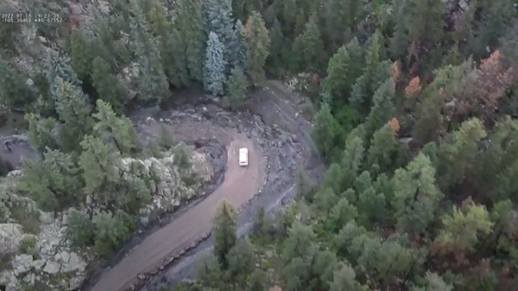
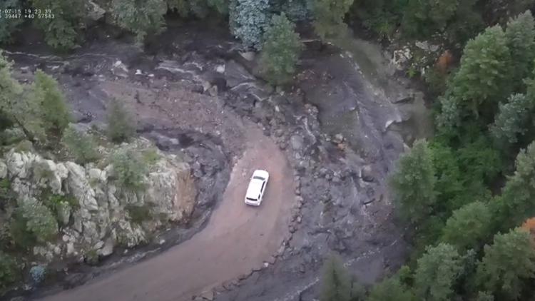
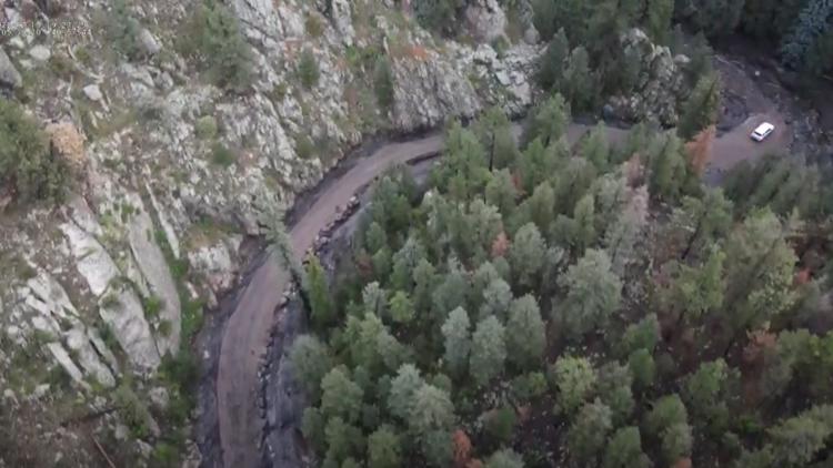
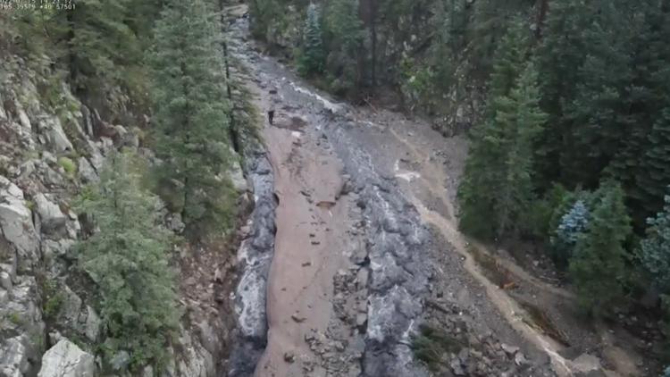
County Road 44H(Buckhorn Road) is open only for emergency access, the sheriff's office said. The road was heavily damaged in the flood. They said crews were assessing damages and restoration plans.
"There are several miles of damage to County Road 44H. So we are still going to be having to assess what the total cost is going to be to fix that," said Lori Hodges, the Director of the Larimer County Office of Emergency Management.
Back in May, a risk assessment was published describing the Upper Buckhorn, Crystal Mountain and Crystal Park areas as associated with flood risk for when it comes to their access roads.
Hodges explained Saturday that crews had been working to implement mitigation efforts.
"So what we've done to try to mitigate this. Is working with all of our partners in both government as well as non-government, as well as our volunteers to do a lot of work for erosion control, for flood mitigation, such as seeding," she said.
Hodges also brought up the mulching program that had recently been implemented.
"Mulching has been going on in all of these areas since last year, since right after the fire, when we had spring and we had the melt. So it's ongoing now and we'll just have to reassess these areas to see what else can be done," said Hodges.
John Klevinskas and Cheyenne Rodriguez were visiting Cheyenne's parents' property off of County Road 44H and Buckhorn Road, when the flooding began.
“We were coming down the property and we have a land bridge that leads up to a few houses up there and the flooding just kind of took the culvert out and took the bridge out and slowly washed our path out," Klevinskas said, adding that a window of time eventually opened for them to leave. “Her (referring to Cheyenne) step-dad was saying this was the worst they’ve ever seen it for sure…100%."
Both expressed the message of having a heightened preparedness for a situation like this.
LCSO tweeted Friday at around 6 p.m., telling people in the area to get to high ground immediately by any means necessary.
9NEWS Meteorologist Danielle Grant said radar indicated that one to two-inches of rain fell near Crystal Mountain and the Buckhorn area.
People in the affected areas were instructed to avoid dips, low spots and ditches, and were not to attempt to cross flowing streams or creeks. People driving in the impacted area should not try to drive through flooded roads. Officials said if your vehicle stalls, to leave immediately and climb to higher ground.
The most serious of the flooding occurred in the area of Crystal Mountain to Wild Song Road. Wild Song Road is just west of where Buckhorn and Stove Prairie roads meet, about 25 drive miles northwest of Loveland.
People looking for information should go to https://larimer.gov/lc-flooding or check the Larimer County Sheriff's Office social media pages on Twitter or Facebook.
The National Weather Service in Boulder tweeted that County Road 43 near Glen Haven and County Road 44H(Buckhorn Road) were impassable.
Larimer County flood damage
The Larimer County Damage Assessment Team and the Larimer County Office of Emergency Management will be out in the area on Saturday morning to determine the damage assessments and debris removal.
SUGGESTED VIDEOS: Severe Weather

