Officials in Southern California are relieved injuries weren't worse after Friday's 7.1 magnitude earthquake, now known as the main shock.
They're still dealing with aftershocks after the largest earthquake to hit that area in 20 years.
It hit just one day after a 6.4 magnitude earthquake rocked the same area near Ridgecrest, roughly two and a half hours north of Los Angeles.
California is now under a State of Emergency as officials deal with damage, like buckled roads and cut power lines.
When you think earthquake, Colorado probably doesn't pop into your head.
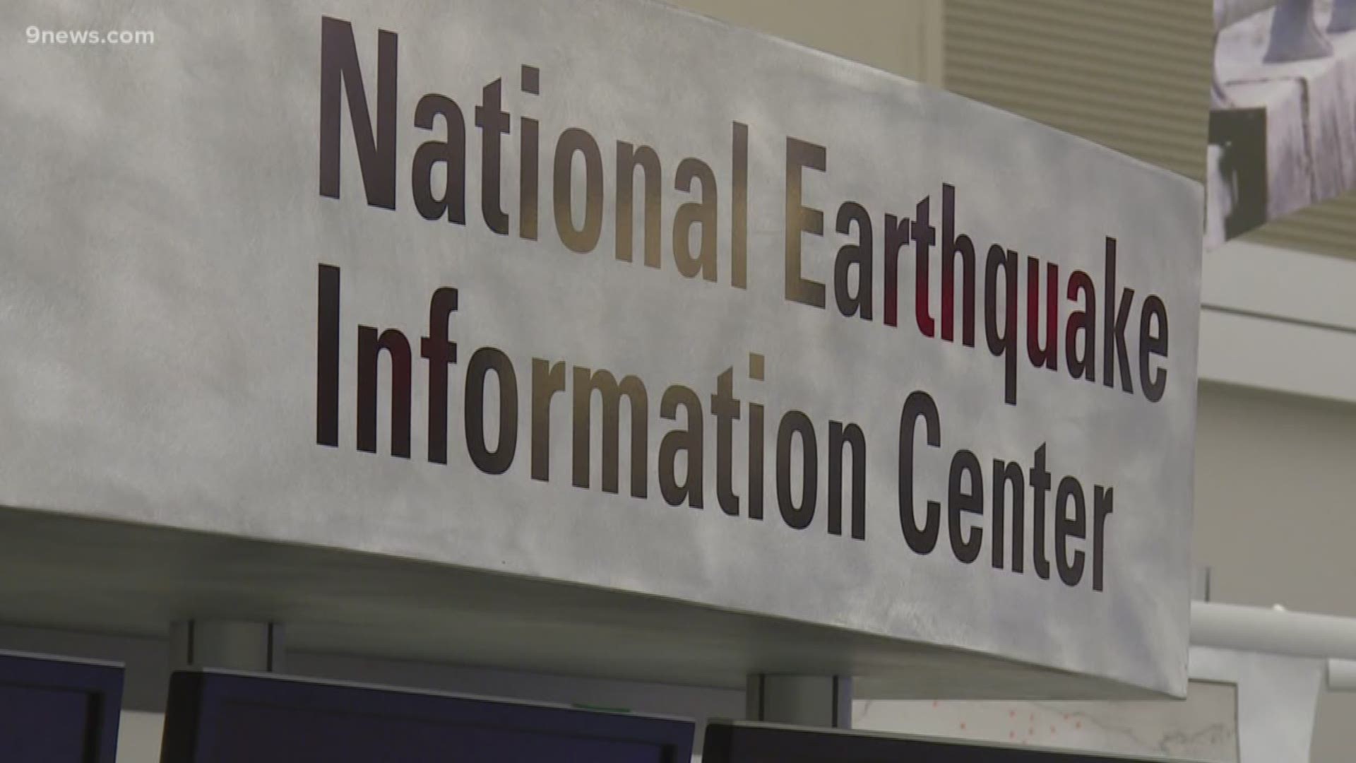
It should, because the people who forecast earthquakes are in the National Earthquake Information Center in Golden.
Many years ago when the earthquake program was getting started, almost all the work was being done in California.
At the time, a group of people decided to move to Colorado for several reasons. One of the reasons was because of the large federal facilities, two because they would be close to great universities and three because headquarters couldn't be in a place where earthquakes happen and run the risk of the shutting down when they needed it most.
The USGS National Earthquake Information Center is the largest earthquake monitoring facility in the country.
Scientists there also monitored the two major earthquakes that happened in California this week, "that earthquake alone was not sufficient to release all the stress and then 24 hours later we had another bigger earthquake which relieved most of the stress on the fault," said scientist in charge Dr. Harley Benz.
"We record in the state of California more than 30,000 earthquakes per year generally in the magnitude 2 and a half, 3 range and up,” said Dr. Benz.
Compare that to Colorado, "we record probably in the order of 30 to 40 earthquakes in Colorado per year and they’re almost always less than magnitude 3 and a half,” he explained.
Most of the earthquakes recorded here in Colorado are near Trinidad.
Mitigating earthquakes is one of Dr. Benz's biggest roles.
He helps record earthquake data, put it in maps and share it with other departments so they can build earthquake-resilient communities.
You’ll see most of that construction in California.

