KUSA — There was this moment when I was about a quarter mile from the trailhead when I looked back at the sun glinting off my dusty Toyota Solara and realized with a smile on my face: I am the only car in the parking lot.
But then, there was another thought: I am the only car in the parking lot, I literally had to take a sketchy dirt road in my two-door sedan to get here and I told my boss I’d be at work early tomorrow so I better not do anything stupid or else I'll get fired.
ADVICE FROM A PSYCHOLOGIST | Let's talk about the angry comments we got on a fun hiking story
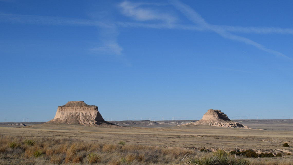
Nevertheless, my couple of hours on the Pawnee Buttes Trail at Pawnee National Grasslands will go down as one of my favorite Colorado hikes in recent memory. It’s a good reminder that while everyone (rightfully) wants to head west and explore everything the mountains have to offer, the plains are pretty cool too – and unlike Mt. Falcon on a Saturday, you might actually get a parking spot!
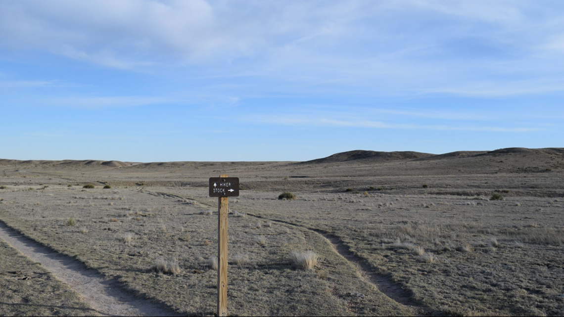
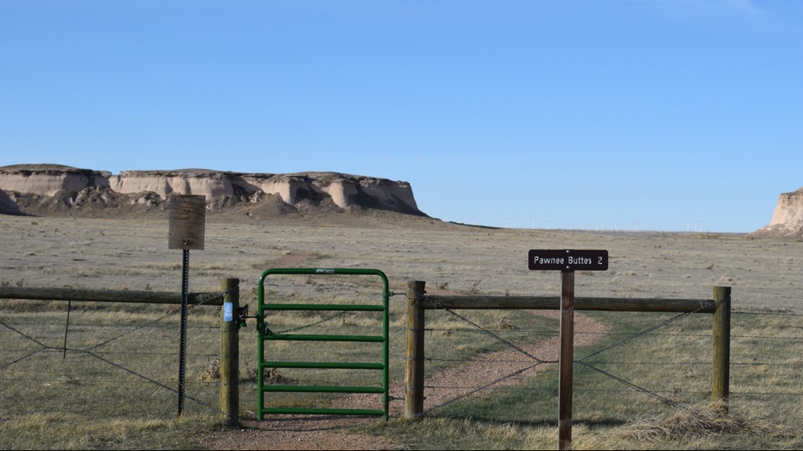
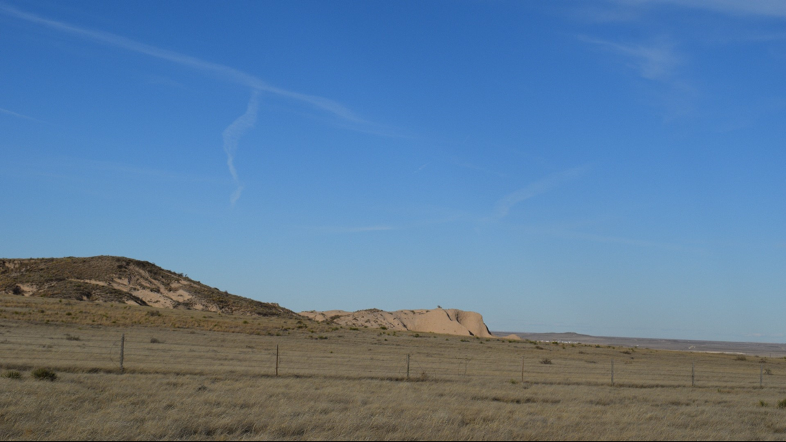
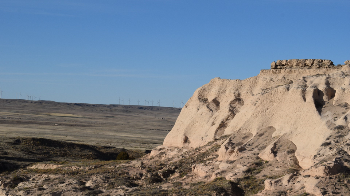
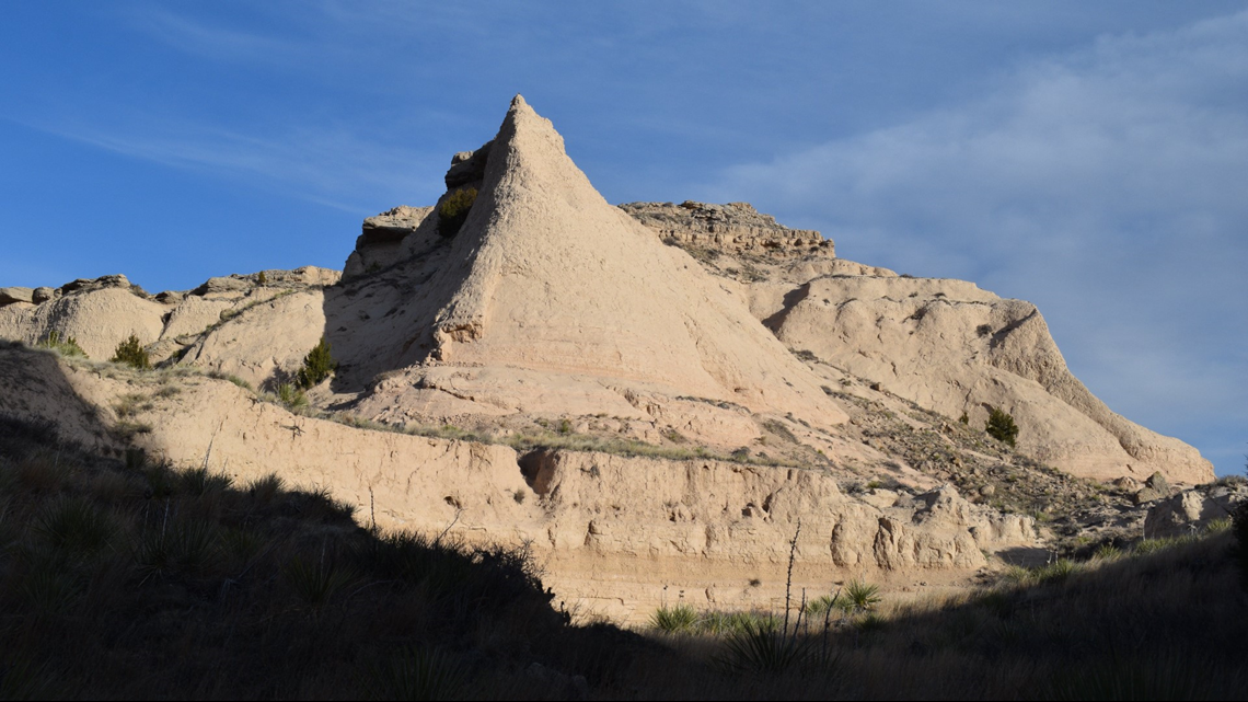
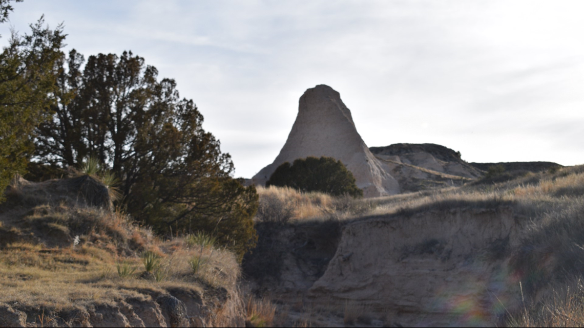
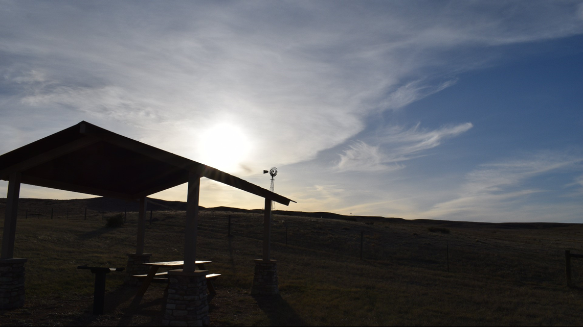
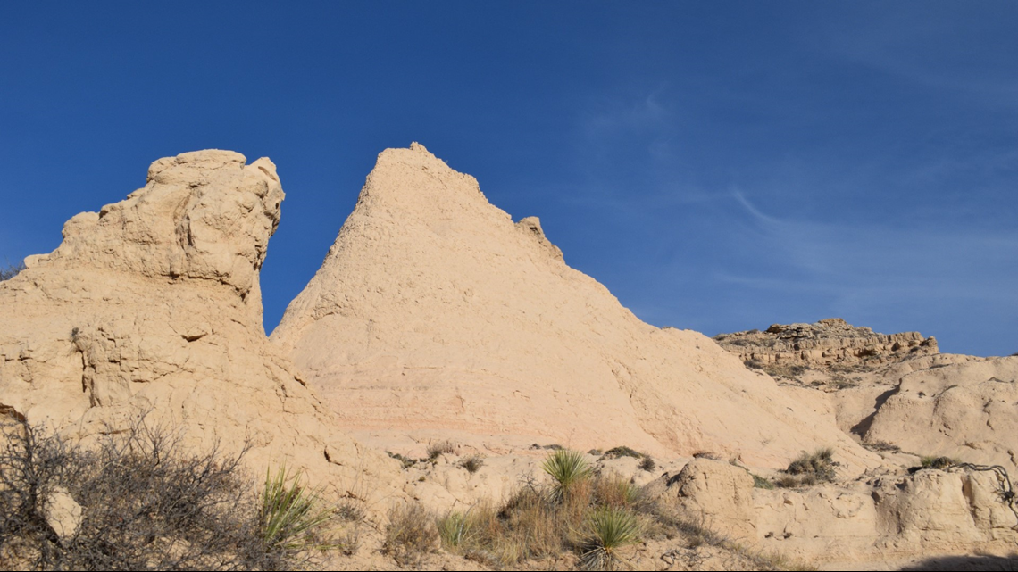
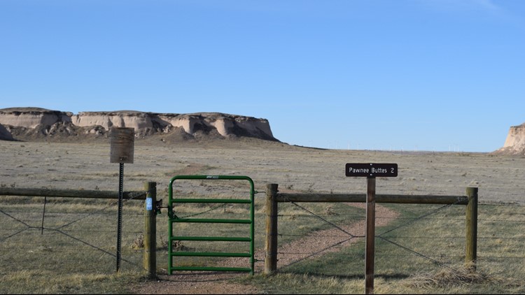
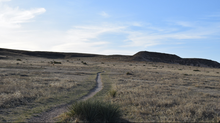
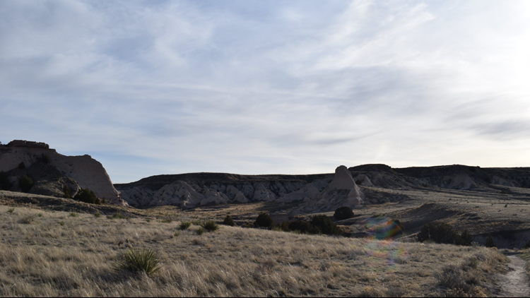
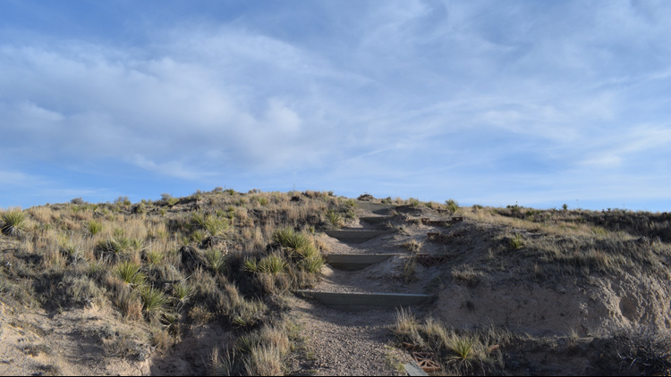
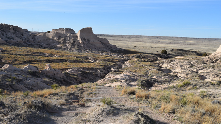
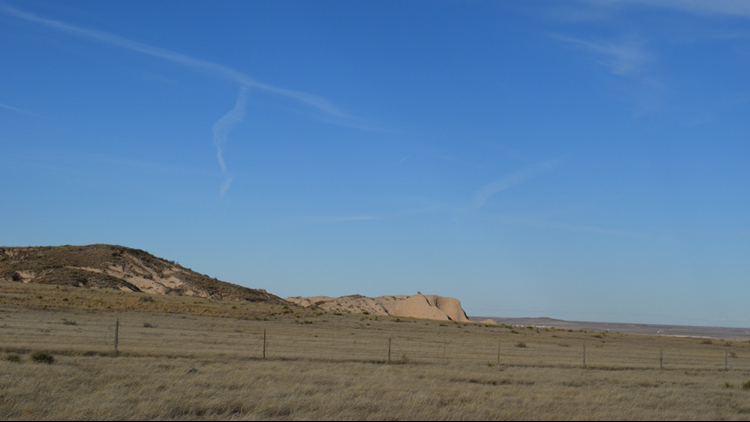
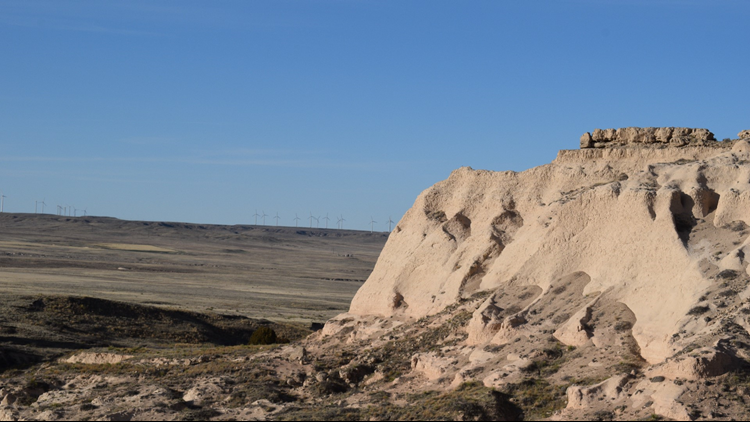
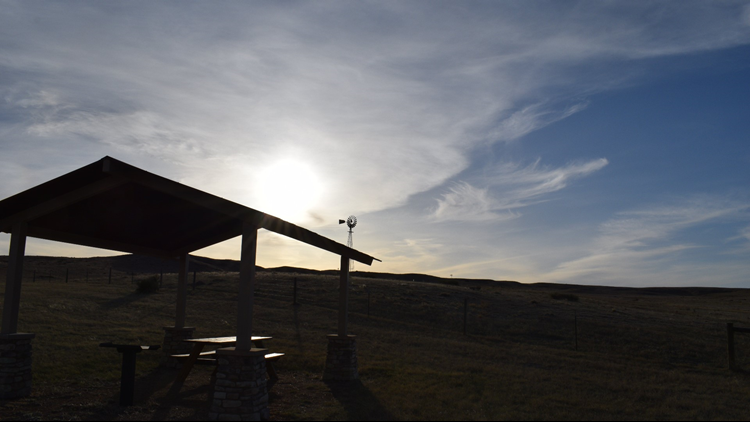
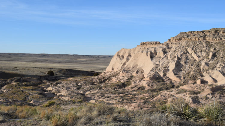
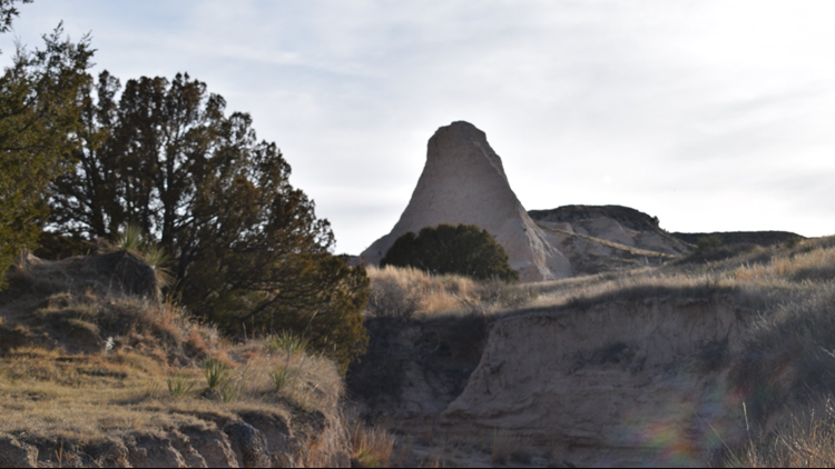
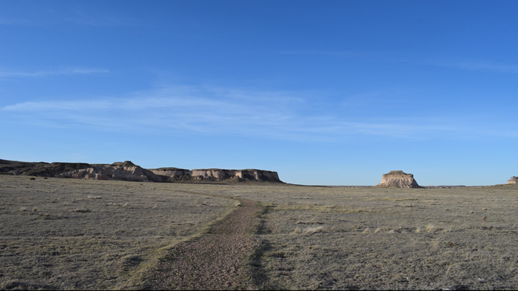
PHOTOS: Hiking Pawnee National Grassland
GETTING THERE

I was coming to Pawnee National Grasslands from an assignment in Fort Morgan, so I was basically in the neighborhood (it still took an hour and a half to get there, but whatever).
The Pawnee Buttes Trailhead is 23.2 miles northeast of Highway 14 on County Road 685, to give you an idea how the remote the area is (except for oil and gas development, and there’s plenty of that).
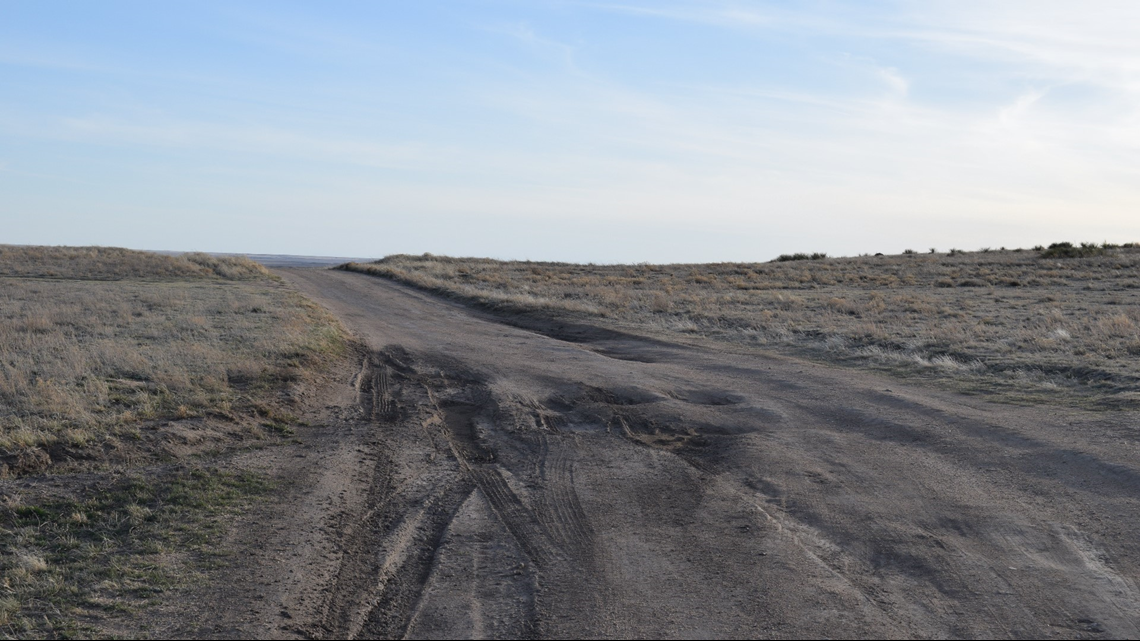
The dirt road isn’t too bad, except in the last mile or so to the trailhead. Definitely have a full tank of gas and check your tires before heading out.
Here are the GPS coordinates to the trailhead that you can plug into Google Maps: N40 48.825 W104 00.033. For context, it’s about two hours and 15 minutes from the 9NEWS office.
THE HIKE

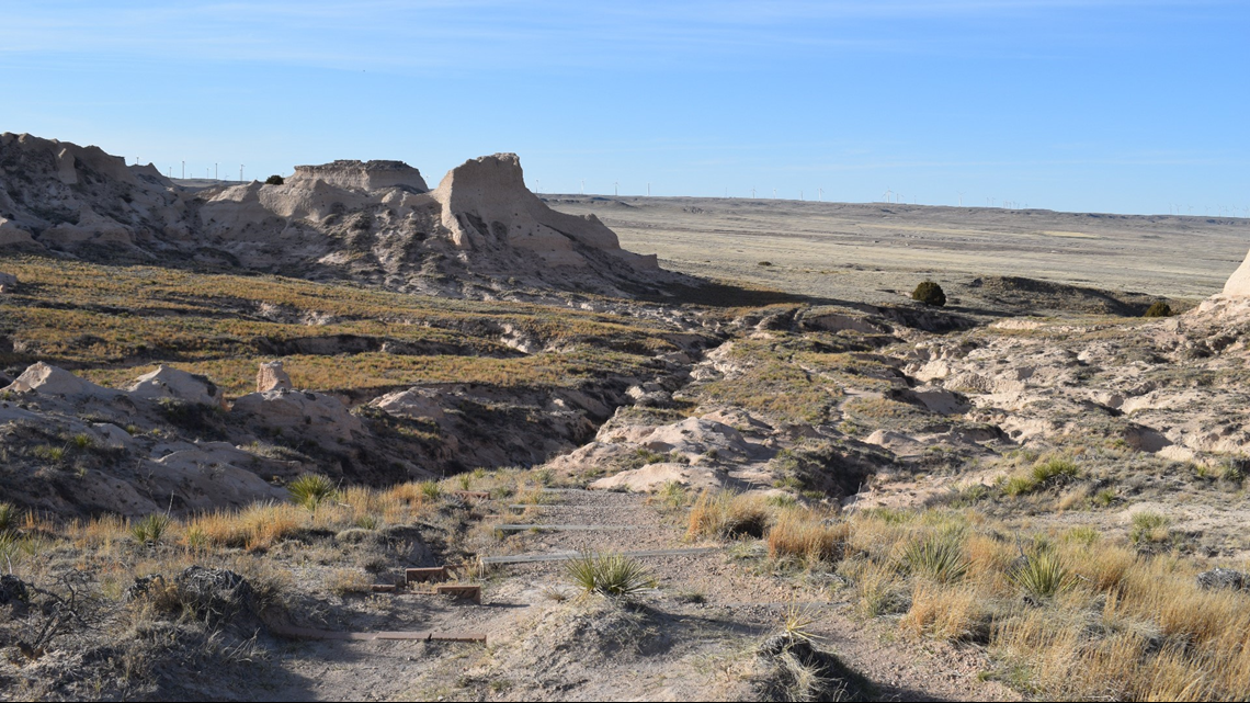
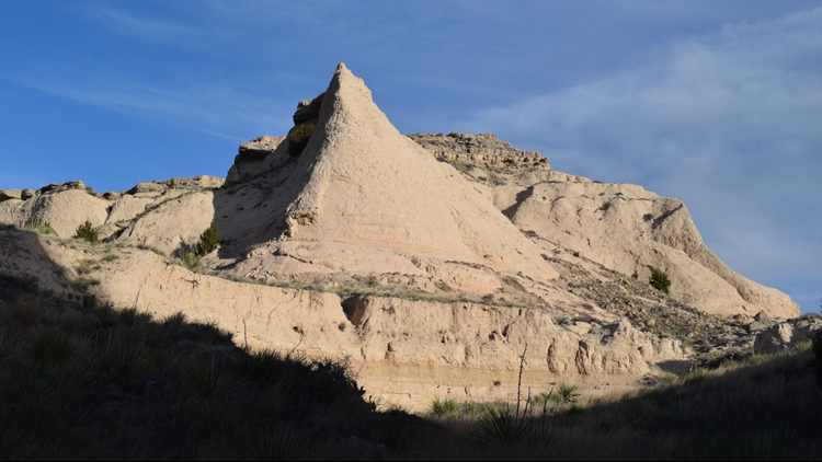
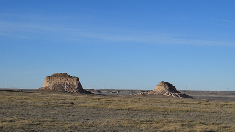
I did the 4.6 mile Pawnee Buttes trail, which gives you sweeping views of the plains and the formations that give the hike its name.
No, you don’t actually climb on the Buttes … it’s super bad for them.
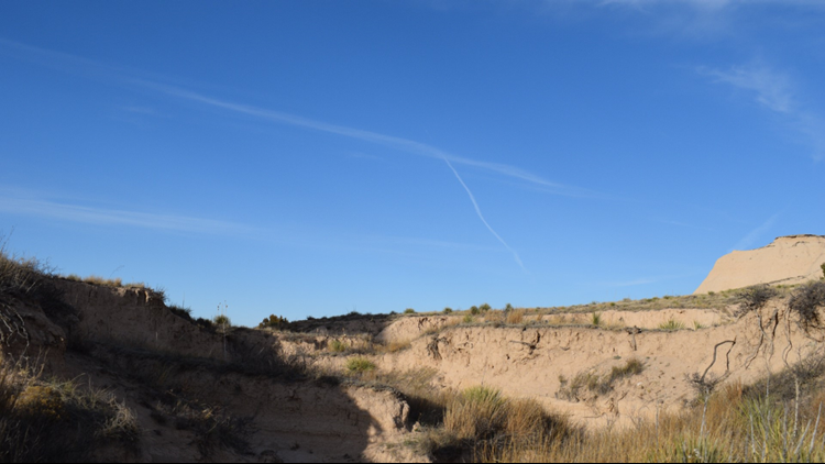
But the views are worth it, and the hike’s pretty moderate, though the trail does require a little bit of uphill and downhill, as well as stepping over rocks. The best part was a section that took you through cool sandstone formations and a dry riverbed.
Honestly, I can write about this all I want, but pictures tell the story better. And for details about the hike from ProTrails.com, head to: https://bit.ly/TTxlhH

