
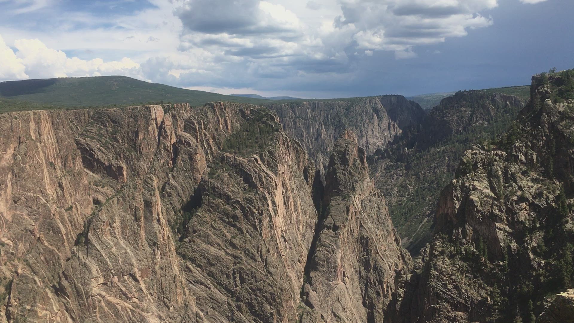
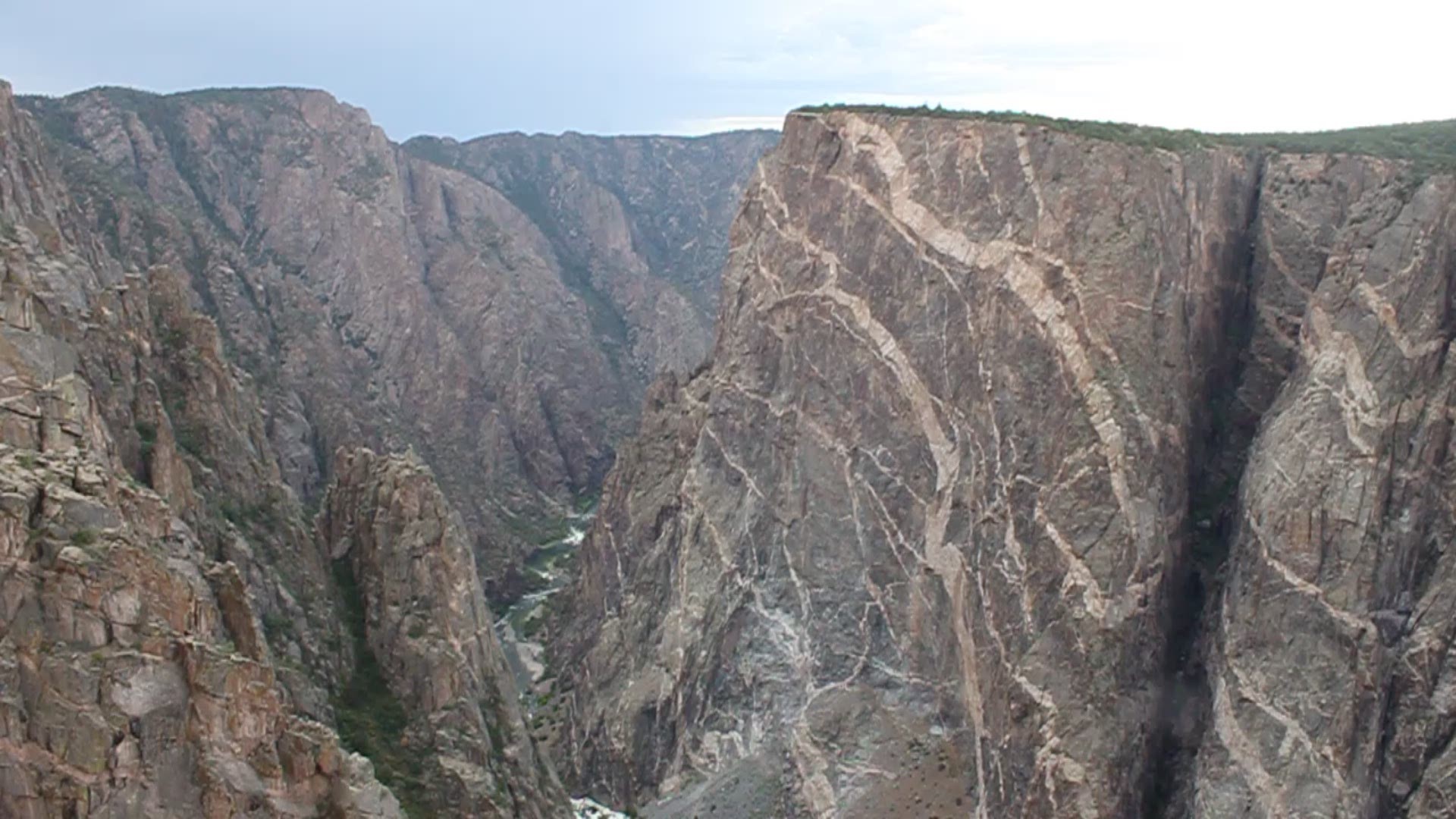
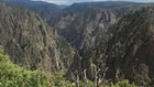
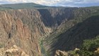
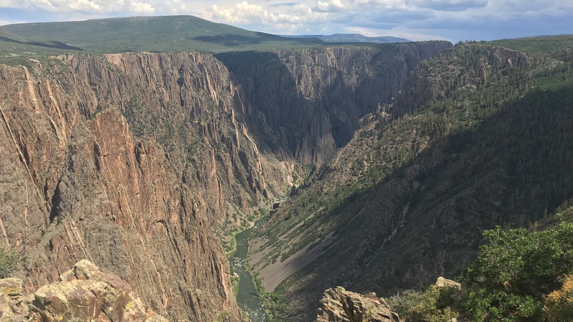
MONTROSE COUNTY, Colo. — There's a place in Colorado that offers visitors stunning, one-of-a-kind views from the top of cliffs more than 2,000 feet high.
That place is Black Canyon of the Gunnison National Park — a spot that gives visitors insight into how Colorado was formed. Monday marks the 20th anniversary since Black Canyon of the Gunnison obtained a national park designation.
"No other North American canyon combines the depth, narrowness, sheerness and somber countenance of the Black Canyon," said Geologist Wallace R. Hansen.
The park is located in Montrose County, about 263 miles southwest of Denver. It's also the least-visited national park in the state, according to numbers from the National Park Service (NPS).
The 360-degree video below gives provides a view from the edge of several of the park's overlooks along the South Rim. Move around the screen to experience the different views straight out and straight down to the Gunnison River.
Navigating Black Canyon
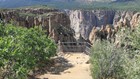
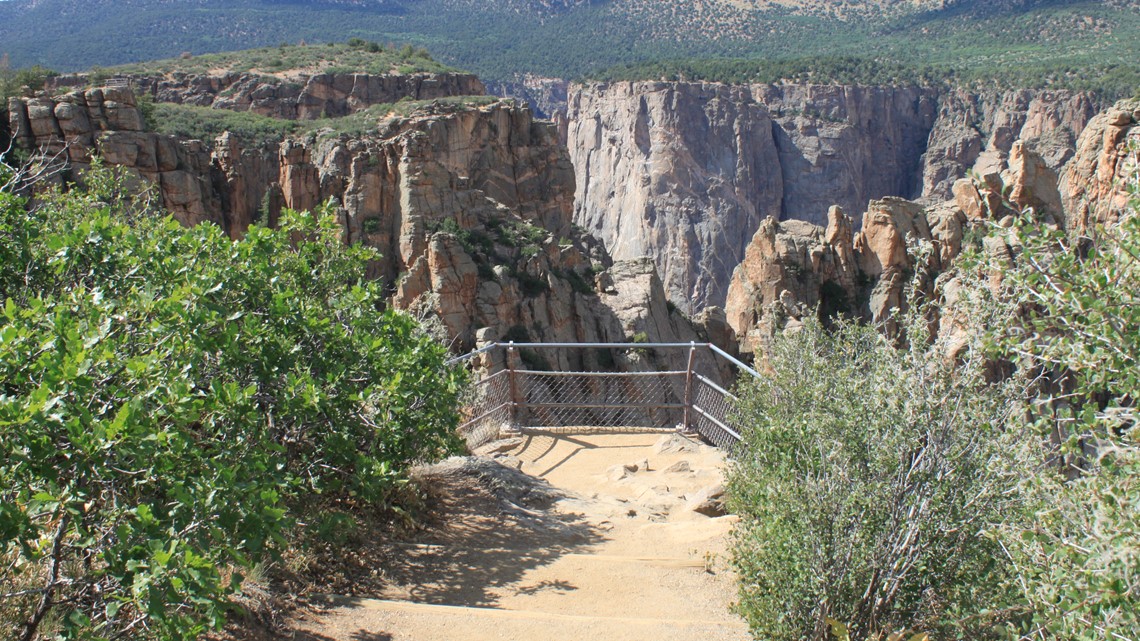
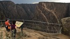
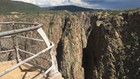
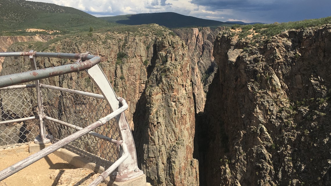
South Rim Road is the main thoroughfare through Black Canyon. Many of the views of canyon are blocked by trees and shrubs. Signs point the way to 12 different overlooks along the South Rim of the park.
The overlooks allow visitors to walk right up to the edge of the canyon for a view straight down the 2,000-foot walls.
More than 308,000 people visited Black Canyon in 2018. Park leaders said they are trying to come up with plans for more parking, more trails and more facilities for the staff to deal with the high number of visitors.
Quick history
Black Canyon of the Gunnison was established as a national monument on March 2, 1933 and redesignated as a national park 20 years ago, on Oct. 21, 1999.
Black Canyon is among the six newest national parks in the United States. (The most recent is Indiana Dunes, located 40 miles from Chicago — it was just named the 61st National Park in February 2019.)
Painted Wall
Although Black Canyon is the least-visited of Colorado's National Park, the Painted Wall, one of the last overlooks on the South Rim, has become one of the most photographed in the state.

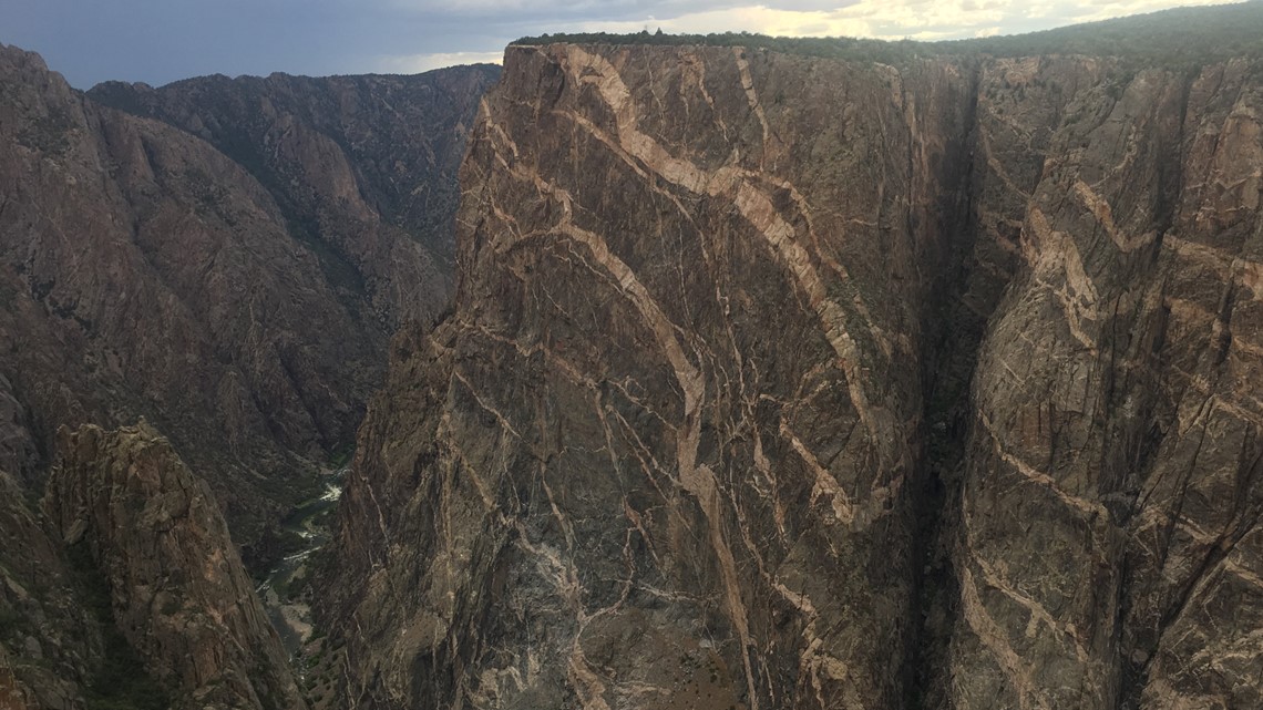
The "paint" actually comes from two different types of rock in the canyon walls. Millions of years, ago molten rock squeezed its way through fissures to form the light colored bands.
This rock, known as pegmatite, holds together the other darker rocks along the canyon walls.
Many of the overlooks that visitors walk on are made from this pegmatite. The patterns are also three-dimensional. If someone cut away a section of the cliff, the cut would reveal an entirely different pattern.
Painted Wall is one of the deepest points of Black Canyon.
It is 2,300 feet from the overlook to the river below. That makes this spot the highest cliff in all of Colorado.
(For perspective, if the Empire State Building stood on the canyon floor it would only stand a little more than halfway up the side of the cliff at Painted Wall.)

More views from the South Rim
Pulpit Rock, Cross Fissures View and High Point are also points that give different views of the canyon's creation.
The Gunnison Uplift, a geologic event, raised the canyon's rocks millions of years ago. These new high-mountain ranges determined the flow of the Gunnison River.
Two million years ago, that river started the long process of carving away at the canyon walls, which at one point are just 40 feet wide at a spot known as the narrows.

The different seasons of Black Canyon
Trails around Black Canyon are enjoyed year-round: By hikers in the summer and cross-country skiers in the winter.
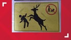
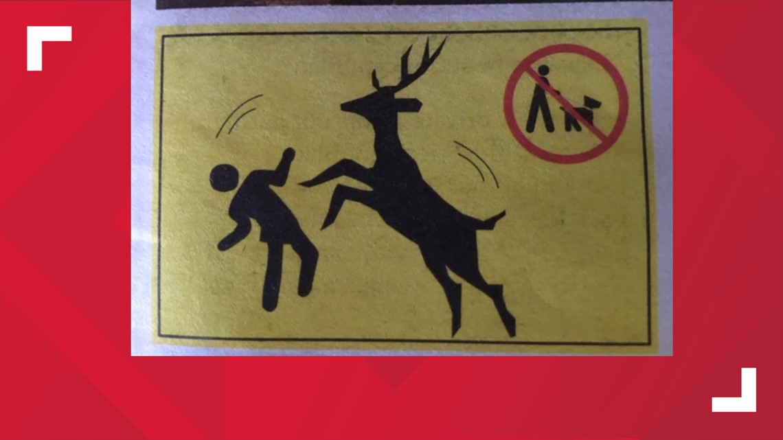
From June through August, dogs are allowed in campsites in South Rim, but cannot be taken on walks or carried around the campground.
Over the past few years, female deer have acted aggressively and even attacked park visitors walking dogs. The deer see the dogs as a threat to their fawns.
These incidents have led to several deer being euthanized and one visitor nearly getting mauled to death.
From mid-November until early April, those trails and the park's roads are often covered in snow, and areas on South Rim Road beyond the visitor's center are popular for cross country skiing and snowshoeing.
North vs. South
Black Canyon of the Gunnison has two separate areas: the more-visited South Rim, and the part that locals say is the better of the two: the North Rim.
A gravel road from the east end of Crawford State Park takes visitors to the North Rim. The North Rim Road provides access to six overlooks.
The canyon walls on the North Rim are almost vertical, offering some of the most impressive views found in the national park.
Among the top places to see along the North Rim are Exclamation Point and Chasm View. At Chasm View, the walls of Black Canyon are 1,100 feet apart.

One-hour visits vs. one-day visits
Black Canyon can be a quick stop on a trip or stretched out for a longer vacation.
South Rim visits
Only have an hour or two to spare?
- Visit the South Rim Drive overlooks that are just a short walk from the car. Those include Painted Wall and Sunset View.
Have some more time?
- Check out the overlooks mentioned above.
- Hike along either the Warner Point Nature Trail (moderate difficulty, 1.5 miles) or Oak Flat Trail (a difficult and steep 2 miles).
- Drive down the East Portal Road to get a closer view of the Gunnison River.
North Rim visits
Only have an hour or two?
- Take a short walk around the Chasm View Nature Trail to a pair of overlooks.
- Take a trip along North Rim drive to other overlooks.
Want to spend a day or more?
- Hike along the North Vista Trail to Exclamation Point (moderate difficulty, 3 miles) or to Green Mountain (difficult 7 miles with 840 feet of elevation gain).
- Hike the Deadhorse Trail (moderate difficulty, 5 miles).
SUGGESTED VIDEOS | Colorado Guide