The goods news? After a very Seattle-like week, spring will return to Colorado again this Memorial Day weekend.
But the return of the 70s means that the snow that fell in the foothills and high country this week will start to melt – and if you’re a good steward of our trails (which you should be), that will put a damper on your hiking/biking/camping plans.
But, that doesn’t necessarily mean you have to spend all weekend inside. Here are some trails to check out as we deal with a very wet spring, and the aftermath of a busy avalanche season.
Also, before you head out, check your county’s website for trail status and conditions. You can check out Boulder County by clicking or tapping here, Jefferson County by clicking or tapping here, and Douglas County by clicking or tapping here.
For Front Range explorers, the 303 Trail Monitor Facebook page is a great resource.
One place you you might want to avoid this weekend? Rocky Mountain National Park – especially the east side. As of Thursday afternoon, the park said there was still 38” of snow on the ground at Bear Lake!
Castlewood Canyon State Park

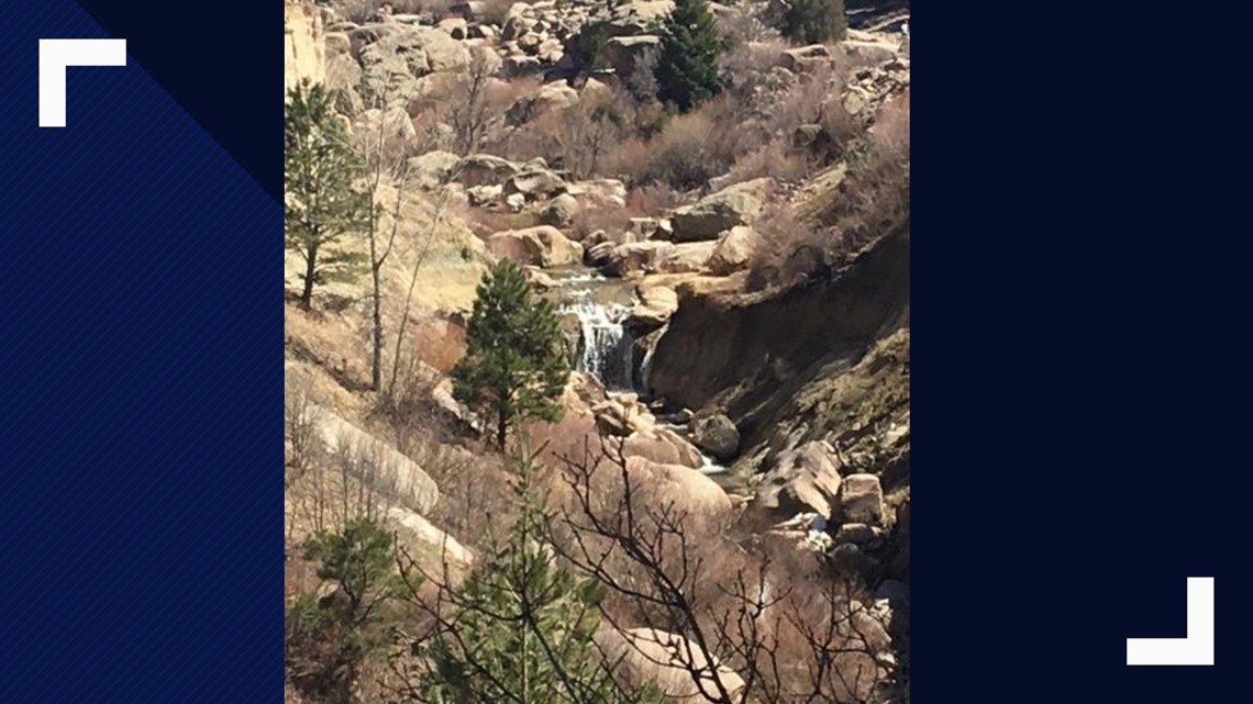
Given that it’s in the High Plains more-so than the foothills, Castlewood Canyon tends to dry out quite a bit faster than other area trail systems – especially if you do the trail on the upper rim, where you’ll mainly be hiking on rock.
The canyon bottom trail can get muddy, but be sure to walk through the mud rather than around it (so you don’t widen the path), and you should be fine.
For more information about Castlewood Canyon, click here: bit.ly/2JAwnEy
Paint Mines Interpretive Park

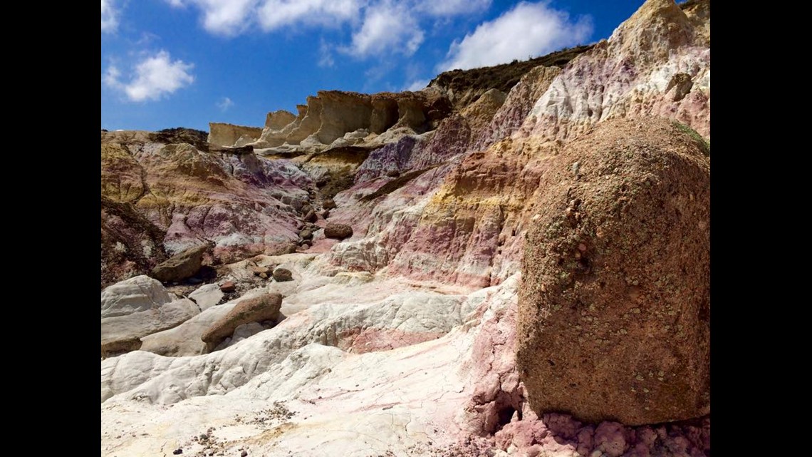
This hike is also east of the High Country, but if you’re the type of person who does things just to put it on Instagram, this place has a similar reward.
There are four miles of gravel trails that wind through the high prairie, but the reward is the Paint Mines themselves. These red and white rock formations are something you truly have to see to believe.
Read more about the Paint Mines and check out a trail map here: bit.ly/2FdXj9W
Mitchell Canyon Trail

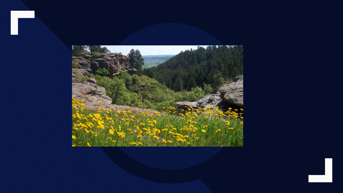
How about a little canyoneering to get stoked for summer? And the best part about this hike? You don’t have to drive to Utah to do it.
This trail basically connects the paved Mitchell Creek Trail to Gateway Mesa Open Space. It starts on a paved trail that leads to the slick rock of a narrow canyon – making it great for this time of year, where mud is everywhere.
You can read a longer writeup on how to pull off this trail here: bit.ly/2JCcBsG
Elk Meadow

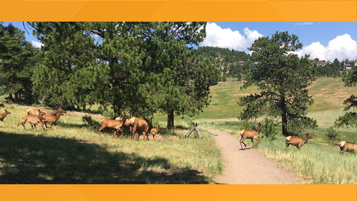
Elk Meadow Park is a big meadow … meaning that it melts faster than other trails in the Evergreen area, but also affords amazing high country views.
You can stick to the meadow itself or, if you’re feeling adventurous, take the 4.7-mile hike up to the top of Bergen Peak, which offers a stunning reward in the form of a view of the Front Range. This, however, involves 2,100 feet of vertical gain – meaning you might still find lots of snow if you happen to head up there this weekend. Go down via the Too Long Trail to make your adventure into a half marathon.
The much tamer Meadow View trail, meanwhile, offers shorter loops and way less elevation gain – meaning it’s a safer bet if you’re worried about getting your boots dirty.
Read more on Elk Meadow here: bit.ly/30GEJzN
Colorado National Monument
This is a longer drive, but given that it’s in the desert, you won’t find inches upon inches of snow – or residual mud from the winter (even though it’s likely everyone and their mom will be in the area this weekend).
The hikes range from a few miles round-trip (the jungle-like Echo Canyon Trail is a favorite) to the 9-mile Ute Canyon Trail.
You can find a full brochure here: bit.ly/2JAhHWb
Salida

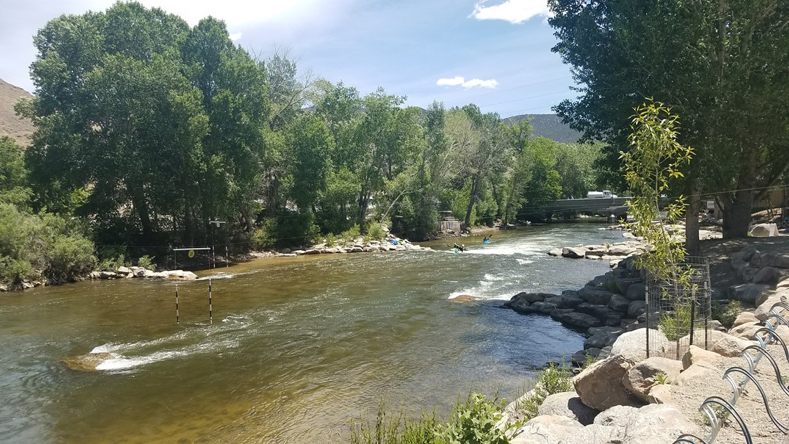
Temperatures are comparatively warmer in Salida, which means that many hiking and biking trails in this part of the state are good to go year-round. The reason for this is it’s in a valley surrounded by the mountains, which get the brunt of the snow during the winter.
It’s also not as much of a drive as Colorado National Monument –which is a plus.
There’s a ton to choose from – and Absolute Bikes in town has a detailed list of conditions that’s updated fairly frequently. As of Thursday, most of the lower-elevation trails were dry and good to go: https://bit.ly/2EuFNNN
The 12.5-mile Rainbow Trail is a favorite – and while the number might sound daunting, it only has 300 feet of elevation gain. It also stays fairly low, meaning that it won’t have some of the mud that comes with trails that venture further up into the mountains.
Check out a list of amazing Salida hiking trails here: bit.ly/2VKqxT0
Waterton Canyon

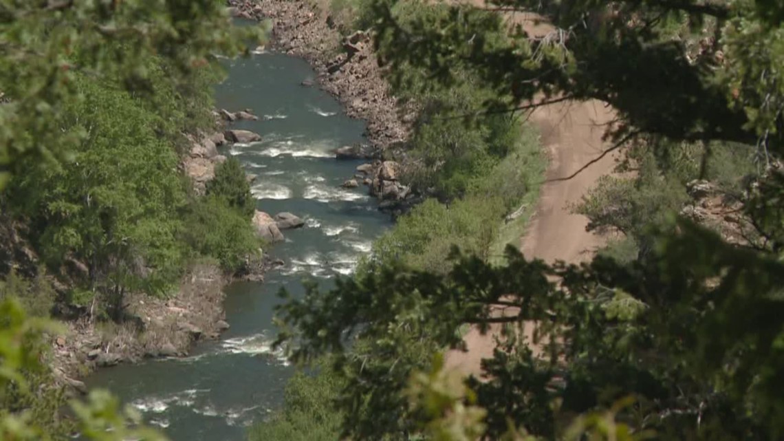
This 12.4-mile out-and-back trail goes up the Platte River and features part of the Colorado Trail. It’s basically a road in the beginning, meaning this stays fairly dry compared to single-track.
For what it’s worth, dogs aren’t allowed due to bighorn sheep. The site AllTrails recommends holding off on exploring the trail until around 5 p.m. if you want to see the sheep.
It’s also a good bike ride if you’ve got a gravel grinder.
You can read trip reports and the latest trail information here: bit.ly/2HVvcwe
Dillon Reservoir Loop

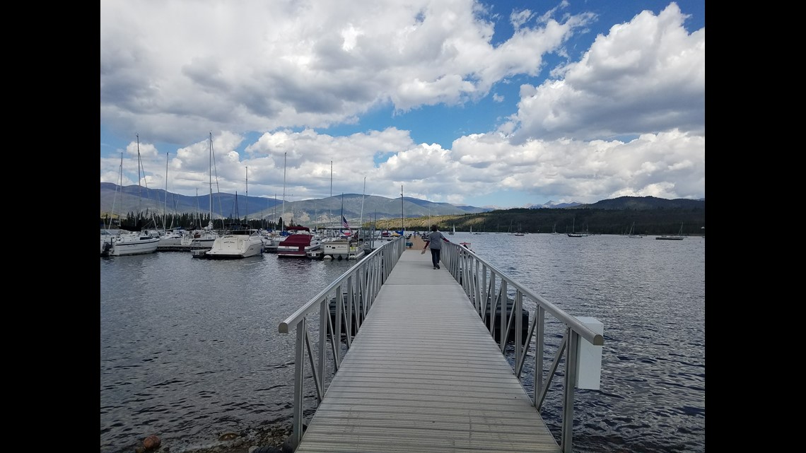
Ok ... this is mostly paved, but that means it is a safe way to check out some of Summit County's splendor without damaging a trail or post-holding your way up a mountain pass.
The loop is 18.8 miles and affords bike riders some incredible scenery with constant views of the reservoir and surrounding mountains.
You can check out a trip report here: bit.ly/2M5nBAB
South Valley Park

Nearby Deer Creek Canyon is often one of the first Jefferson County Open Spaces closed due to mud -- and it makes sense since the shady trail is mostly dirt (and it tends to get super busy, no matter the conditions).
South Valley Park is about a mile away, but since it's largely in a valley (hence the name) it tends to dry out a lot quicker.
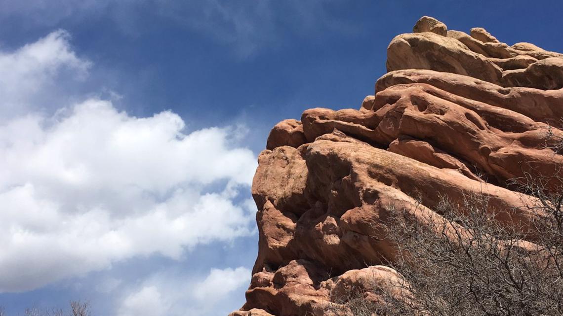
The roughly three-mile out-and-back (you can make it a lollipop loop) along the length of the park offers awesome views of the Hogback and red rocks that jut from the scenery.
Read more about South Valley Park and check out a trail map here: bit.ly/2zKqWOa
SUGGESTED VIDEOS | Feature stories from 9NEWS


