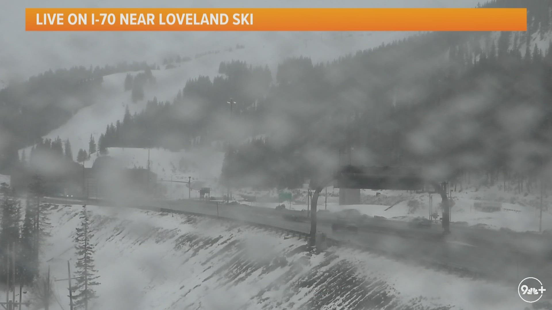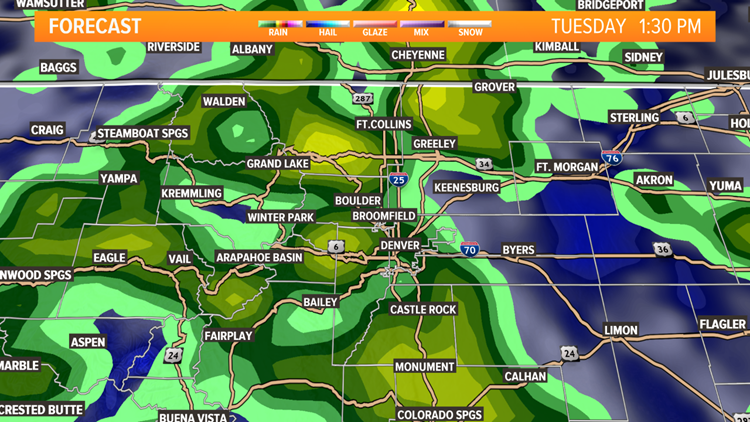
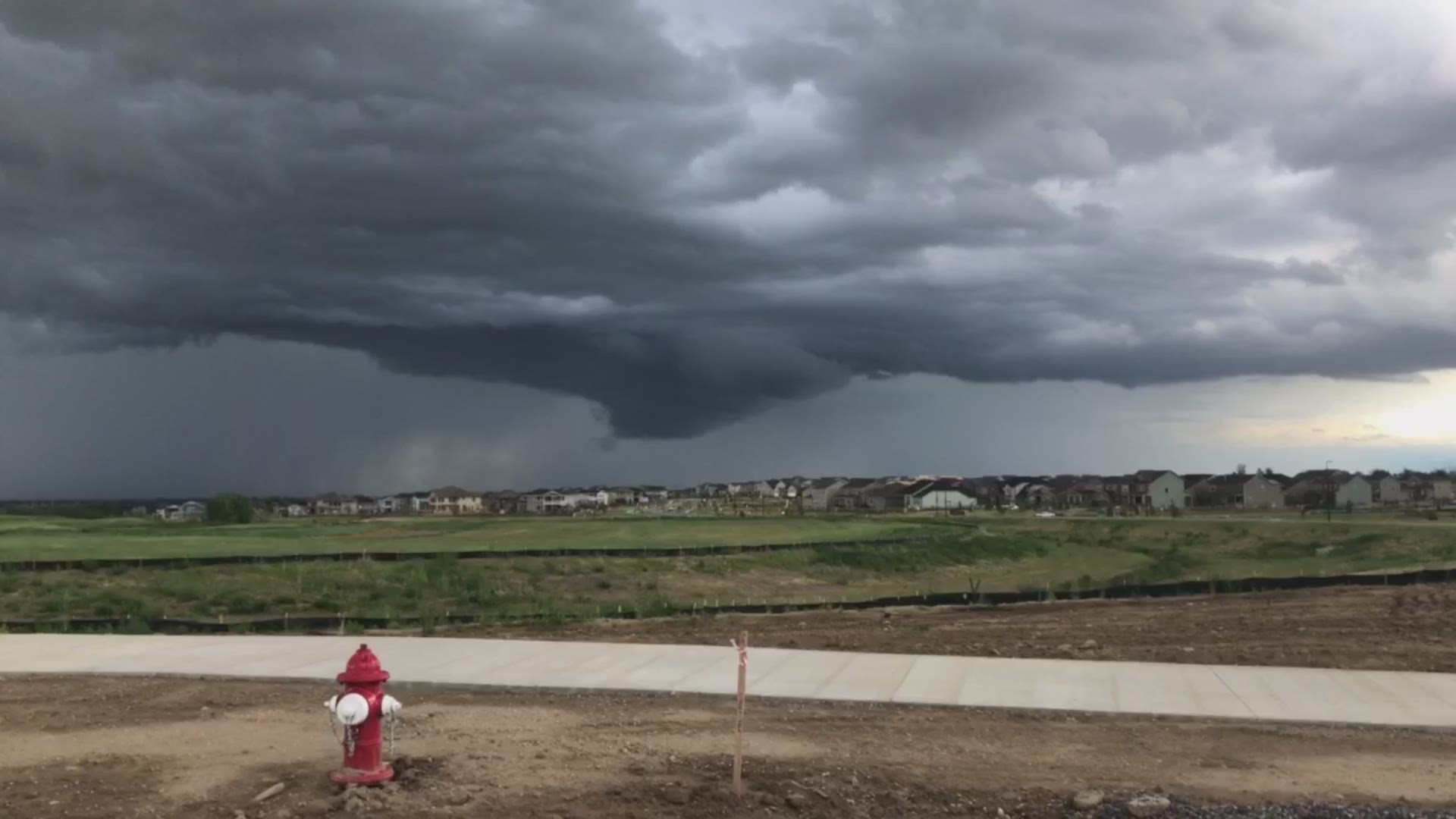
COLORADO, USA — Storms that developed Tuesday in the foothills and mountains are coming down across the Interstate 25 corridor for the evening.

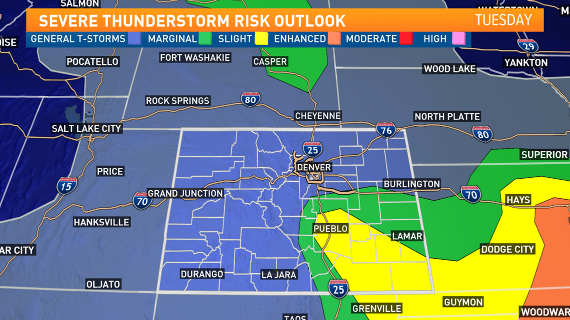
Several areas of southeast Colorado are under a Severe Thunderstorm Watch until 10 p.m. Tuesday night.
In the metro area, we expect to see heavy rain and lightning.
There are active Flood Watches and Warnings for areas near rivers that are already running high.
The biggest threat for severe weather is over southeastern Colorado, with large hail and damaging winds possible.
While the Front Range isn't included in the Storm Prediction Center's threat, there is enough energy in the atmosphere for some of the storms to reach the severe threshold, especially over the Palmer Divide.
Wednesday should be a little quieter as we expect to see mostly sunny skies and only isolated afternoon storms. Afternoon highs will reach from 80° to 85°. Thunderstorms move back in on Friday.
TRAFFIC CENTER | Keep up on crashes and travel times here
READ MORE | Complete 7-day weather forecast
SEND | Weather photos, videos
9NEWS apps:
iTunes: on9news.tv/itunes Google Play: on9news.tv/1lWnC5n