When disaster happens, emergency responders typically react on instinct.
But if they could also react based on data, they could make even better split-second decisions.
Sarah Tuneberg worked in emergency management for a decade, during which she helped with the evacuations of the Waldo Canyon Fire and Hurricane Katrina.
“I think all of us emergency managers have our hearts in the right place,” Tuneberg said.
Tuneberg said sometimes high-stakes decisions like evacuations are made on gut instinct, but she's aiming to arm emergency managers with technology.
Tuneberg founded a start up called Geospiza with Craig Kalick to do just that.
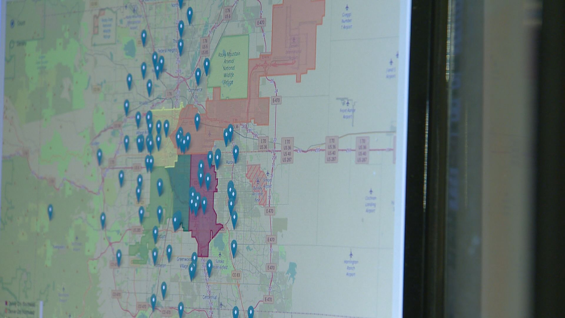
Geospiza pulls information from different sources, like Twitter and Census information, and funnels the pertinent data into one spot.
Emergency managers can use that data when both preparing and responding to terrorist attacks, mass shootings and natural disasters.
In Colorado, one of the issues we deal with is wildfires. A wildland danger map from the Rocky Mountain Area Coordination Center shows a part of southeast Colorado is already highlighted in red for February, earlier than usual.
In this situation, Geospiza can help.
Tuneberg pulled up a map of Denver and was able to find communities that may need help first, like nursing homes where residents can be sensitive to the smoke.
The map turns red around the Lowry neighborhood, where there's a high concentration of nursing homes. In a wildfire, emergency managers can work to get these nursing homes air filters, additional water or check ahead of time to see if the home has an evacuation plan in place.
The technology will also track flooding danger and asses neighborhoods and the strengths of homes to withstand flood waters.
In some cases, Geospiza might direct people to evacuate to different parts of the city instead of leaving it all together.
Tuneberg has worked with emergency managers in Oregon. Geospiza, which costs $15,000 a year, has put in a proposal to Denver Water to check out its technology.
Next ran that figure by the emergency management coordinator for Adams County Richard Atkins who said the cost could be doable depending on the agency, its size and budget.
Atkins says emergency management departments are always on the lookout for cutting-edge technology and are aware of other programs that also consolidate information, including one that focuses on flooding.
He also said he sees the appeal to have a one-stop place for data spanning different emergencies when the time comes that it's needed.


